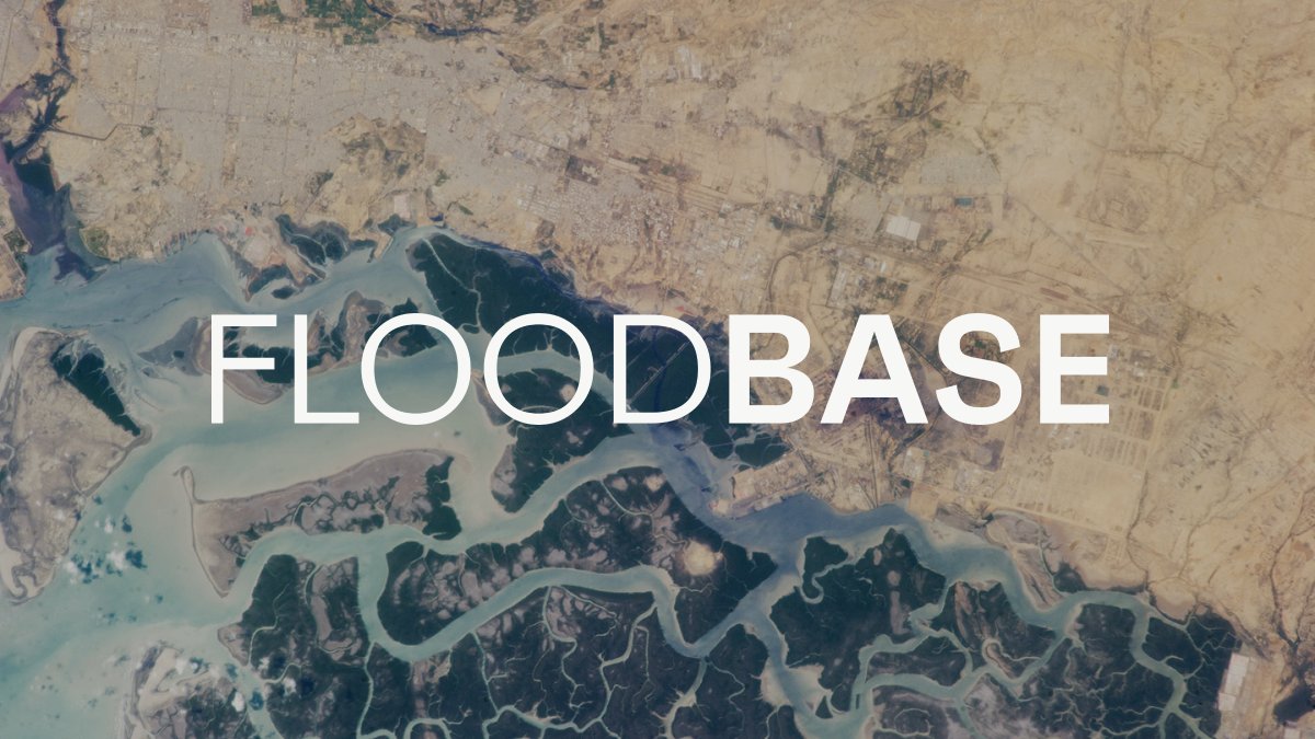
1/6
Cloud to Street is now Floodbase!
We're excited to announce a new name, a new solution, and our Series A led by @lowercarbon
We're more committed than ever to enabling insurers to underwrite parametric flood insurance, anywhere on Earth: https://t.co/7U5A1Fi4H5
Here are my slides for the "GeoNode State 2019" #foss4gna Thanks to all of the #geonode developers and community for making this project special since already 10 years https://t.co/fTPYo18a0D
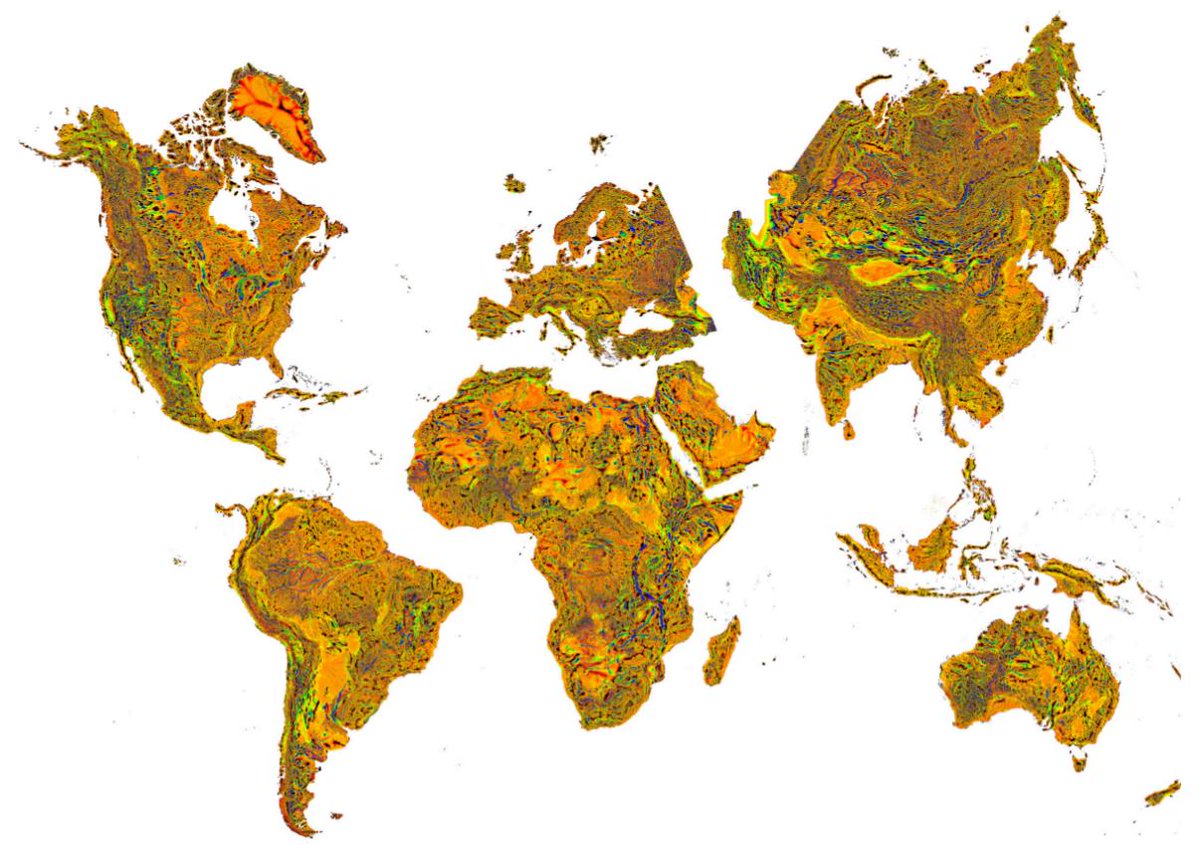
#Geomorpho90m: Global #Geomorphometry (Topographic Variable) Layers - derived from MERIT-DEM(90m). Data at https://t.co/3Piifa3BpO https://t.co/Eer8khh3Nt @PeerJPreprints Fig: maximum multiscale roughness Whitebox.
#geonode is 10 years old. Here is an article - just a preprint for now - which tries to provide an overview of its capabilities, architecture, the underlying open source community and successful use cases https://t.co/SCPxCs8jQB