Check out Esri’s new solution for managing evidence-based responses to crime problems! Available now for ArcGIS Online and for ArcGIS Enterprise 11.1! https://t.co/5IEsIy6odT
@grdrawve As an aside- I’m looking at implementing a threshold analysis tool with poisson z-scores for the “modem compstat” solution Esri will release in June
Join me at 2pm est today to learn how the Emergency Debris Management solution can help you expedite initial debris clearance, assess volume, and monitor the removal of disaster debris accumulated on roads, right-of-ways, and public facilities.
https://t.co/s4qbjnL8g3
Happening Today! The #EsriPublicSafety Technical Workshop – ArcGIS Solutions for Public Safety: An Overview. Join us from 11:15 a.m. – 12:15 p.m. PDT.
Join: https://t.co/ZvEauD4jmY
#EsriUC
(1/5) The e-book of "Modern Policing Using ArcGIS Pro" is out today! We're excited to finally share this with the field. The book uses hands-on exercises & case studies to help you incorporate ArcGIS Pro in your crime analysis projects. Get your copy @ https://t.co/zWROO2j40m
What's new in the Crime Analysis solution
I've got a new blog post out today- Learn more about an updated user experience, new capabilities, and expanded training resources in our newest release of Crime Analysis for ArcGIS Pro 2.7.
https://t.co/m05loj0EDj
The new Police Transparency solution can be used by #lawenforcement agencies to share information openly with the public, promote an agency’s work, demonstrate accountability, and #engage the public to discover and sign-up for community policing events https://t.co/OTsCWaA2O7
A new version of the Crime Analysis solution for ArcGIS Pro 2.7 is now available! You'll find a refreshed ribbon design, major new capabilities, improvements to existing tools, simpler licensing, and improved training materials! Deploy today: https://t.co/t7yoFcHZD5
The #ArcGISsolutions site has a new product experience! Come check out the site and see the new format. https://t.co/IgcEjEvreM
#esripublicsafety Solutions include:
🔹 Police transparency
🔹 Emergency management
🔹 Fusion center
🔹 Community health assessment
@Jerry_Ratcliffe The key is starting all new projects with a map template (instead of no template) and defining a custom default location, geodatabase, and toolbox (i.e. make a project in the location you want to be the default, and then point general options to that).
@Jerry_Ratcliffe Again, key thing is if you dont use a template, ArcGIS Pro will FORCE create a folder for you- so if you don't want folders, start projects using the map template.
@Jerry_Ratcliffe I've tried it on my computer and it works as jerry intends (I believe). Glad to walk any of you through it @PizaEric@IT4Policy . General help doc on this is here: https://t.co/CAtuRw0tgX
Join me tomorrow (12/5) at noon EST for an Esri Law Enforcement Webinar: Sharing Analytical Workflows with Tasks for ArcGIS Pro
Register and more info here:
https://t.co/ukNMc9l9hM
Join me for a live webinar on Thursday, 8/1 from 12-1 EST to learn about new tools for cell phone analysis in the Crime Analysis Solution for ArcGIS Pro!
Register here: https://t.co/FuUhaTha87
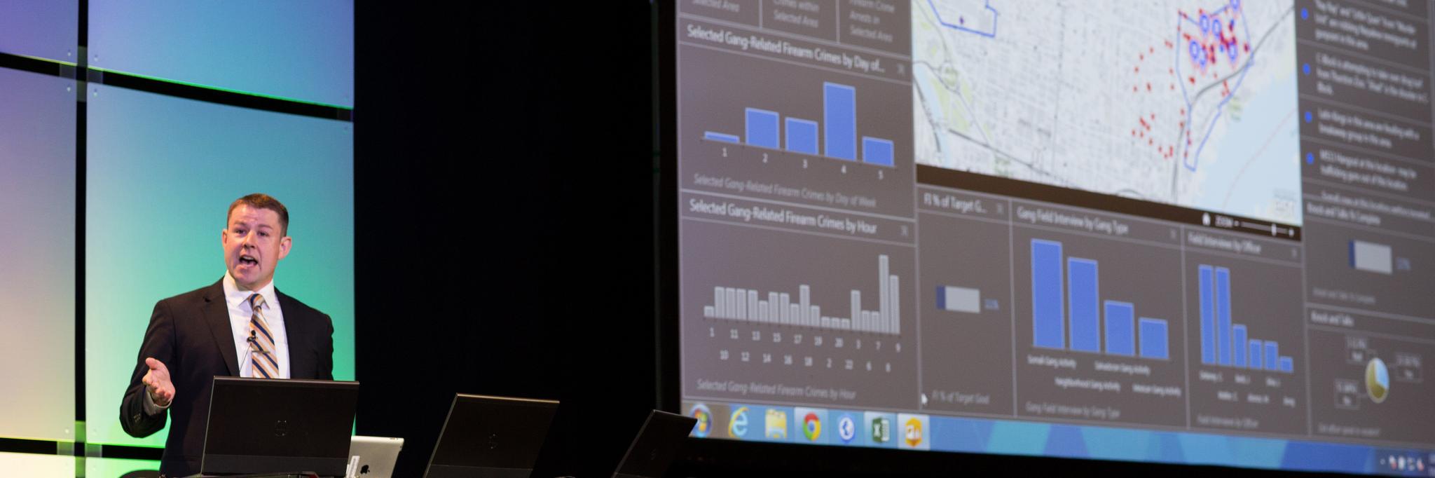
Join me for an Esri Law Enforcement Webinar tomorrow, 4/25, 12 EST, 9 PST on interactive, real-time dashboards with Operations Dashboard for ArcGIS. Learn how to configure a dashboard, and real-life use cases from Jacksonville Sheriff. Register today: https://t.co/Ao49e9eomn
The March 2019 release of #ArcGISOnline is now live! Improved account/admin UX, new/enhanced analysis tools, new configurable apps, lots more. More info: https://t.co/JT7crDlQsV #ArcGIS#Esri#woot
Esri has just released a new ebook on modernizing policing with geospatial technology. Learn how GIS can help your agency implement modern crime control strategies, manage special events, support community policing initiatives, and much more! https://t.co/39aZlr8pAs