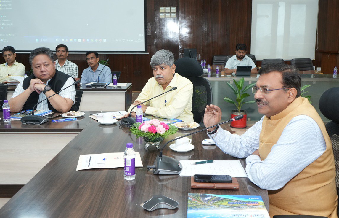
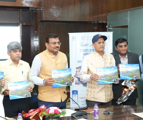
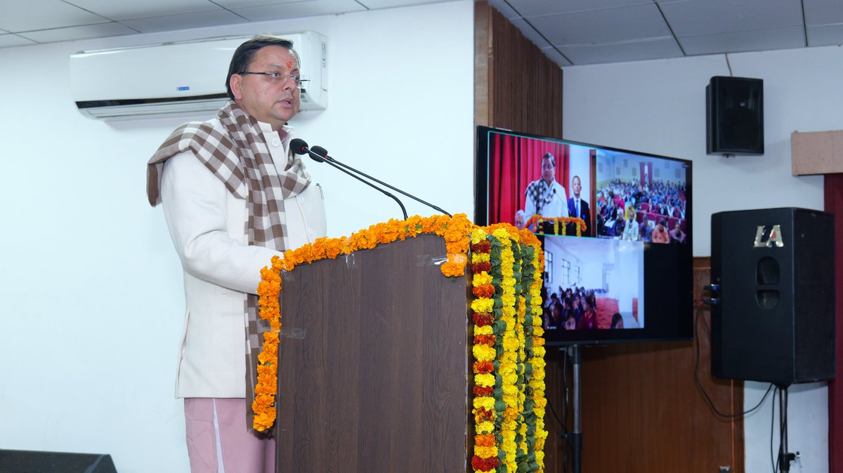
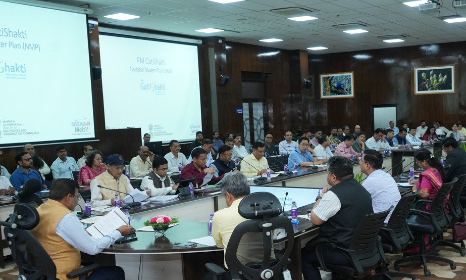
मुख्य सचिव श्��ी आनन्द बर्द्धन ने आज सचिवालय में नियोजन विभाग द्वारा आयोजित पीएम गतिशक्ति उपयोग मामलों का संग्रह 2.0 का विमोचन एवं विभागीय डेटा संग्रहण के लिए मोबाइल एप्लीकेशन के शुभारंभ समारोह सहित दो दिवसीय कार्यशाला में प्रतिभाग किया। इस अवसर पर मुख्य सचिव ने कहा कि जियोस्पेशियल तकनीक (Geospatial Technology) ऐसी तकनीक है जिसके माध्यम से पृथ्वी पर किसी भी स्थान (Location) से संबंधित जानकारी को एकत्र, विश्लेषित, प्रदर्शित और उपयोग किया जाता है।
मुख्य सचिव ने उत्तराखण्ड जैसे पर्वतीय राज्य के लिए पीएम गतिशक्ति पोर्टल और जियोस्पेशियल तकनीक को महत्त्वपूर्ण बताते हुए कहा कि इसके माध्यम से सड़क, विद्युत लाइन, पानी की लाइन, रेल���े लाइन, भवन निर्माण, डैम और अन्य बड़े निर्माणों में जियोस्पेशियल तकनीक एक बहुत महत्त्वपूर्ण भूमिका निभाएगी।
उन्होंने कहा कि इससे किसी भी प्रोजेक्ट की जियो लोकेशन और अन्य विभागों से समन्वय में बहुत सहायता मिलेगी। इसमें दूसरा सबसे बड़ा फायदा विभागों के मध्य डेटा इंटी��्रेशन से होगा। सभी विभाग अपने स्तर से जितनी अधिक प्रामाणिक जानकारियां इस पोर्टल में अपलोड करेंगे, योजनाओं के निर्माण में उतने बेहतर परिणाम आएंगे, जिससे इस प्लेटफार्म का और अच्छे से उपयोग किया जा सकेगा और अन्य विभागों से अच्छे से सामंजस्य स्थापित किया जा सकेगा।
मुख्य सचिव ने नियोजन विभाग को व्यय वित्त समिति की बैठकों में इस प्लेटफार्म का उपयोग किए जाने के निर्देश दिए हैं। उन्होंने कहा क�� इससे योजना का एक बेहतर आंकलन किया जा सकेगा। उन्होंने 10 करोड़ से ऊपर के प्रोजेक्ट में साईट सिलेक्शन कमेटी को पीएम गतिशक्ति पोर्टल की जियोस्पेशियल तकनीक से मैपिंग अनिवार्य किए जाने के निर्देश दिए। इसके साथ ही सभी नई स्वीकृत योजनाओं को भी इस पोर्टल पर अपलोड किए जाने के निर्देश दिए। उन्होंने कहा कि इससे योजनाओं में डुप्लीकेसी नहीं हो सकेगी और विभिन्न विभागों के मध्य तालमेल में आसानी होगी।
मुख्य सचिव ने सभी विभागों को मास्टर रिसोर्स पर्सन चिन्हित किए जाने के भी निर्देश दिए हैं। उन्होंने राष्ट्रीय एजेन्सी Bhaskaracharya Institute for Space Applications and Geoinformatics (BISAG-N) द्वारा तैयार इस एप्लीकेशन को स्टेट प्रगति पोर्टल (उन्नति) से एकीकृत किए जाने की बात कही। साथ ही इससे सम्बन्धित प्रशिक्षण एवं तकनीकी सहायता के लिए विभागों को लगातार कार्यशालाओं में प्रतिभाग करने के साथ ही BISAG-N के पास जाकर प्रशिक्षण लेने के निर्देश दिए।
इस अवसर पर प्रमुख सचिव श्री एल. फैन्नई, श्री आर. मीनाक्षी सुन्दरम, सचिव डॉ. पंकज कुमार पाण्डेय, डॉ. एस.एन. पाण्डेय, श्र��� श्रीधर बाबू अद्धांकी, अपर सचिव श्री हिमांशु खुराना, श्री नरेन्द्र सिंह भण्डारी, श्री बंशीधर तिवारी एवं BISAG-N सहित विभिन्न विभागों के वरिष्ठ अधिकारी उपस्थित थे।
#OneDayOneResearch
Scientists from @ARIESNainital - @IndiaDST have, for the first time, mapped the “skeleton” of magnetic fields around nearby molecular clouds L1604 and L121.
Using polarimetry, the study reveals how magnetic fields—alongside gravity and pressure—play a crucial role in regulating star formation in our galaxy.
🔗https://t.co/0RsZphzEzF
@DrJitendraSingh@karandi65@DBTIndia@CSIR_IND@moesgoi
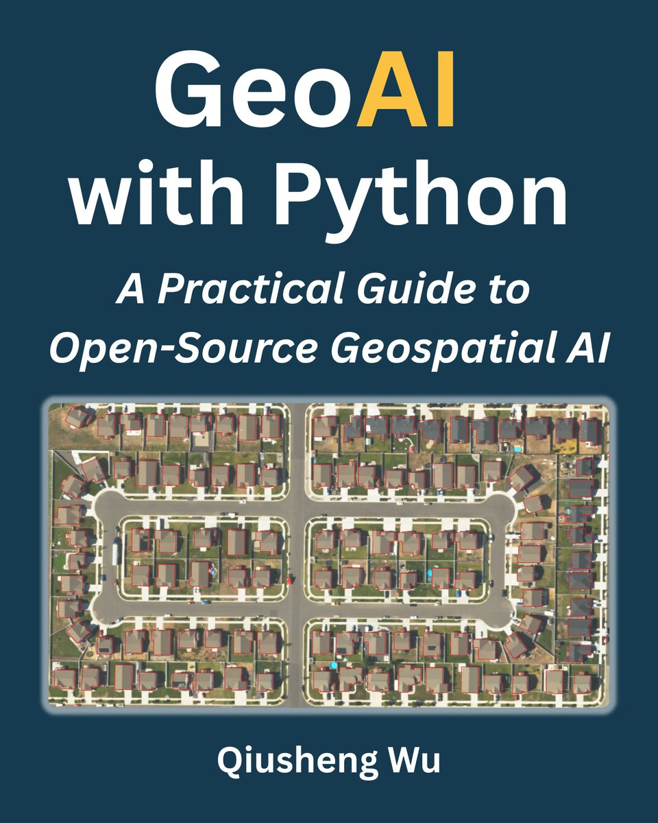
🚀 New book release: GeoAI with Python: A Practical Guide to Open-Source Geospatial AI
The full PDF edition (423 pages) is now available on Leanpub:
https://t.co/SK9NBgFaZ8
All code examples are freely available: https://t.co/i039IxUsWs
This hands-on guide shows how to apply deep learning and AI to satellite imagery, aerial photos, and geospatial data using Python. It walks through the complete workflow, from accessing remote sensing data to training, evaluating, and deploying models using open-source tools.
Explore the Table of Contents: https://t.co/i039IxUsWs
The full-color print edition will be available on Amazon soon.
#geospatial #geoai #opensource
Every map-series has a numbering-system, and every numbering-system is based on standards. The Map Sheet Numbering framework is the backbone of scientific and uniform mapping across the nation.
It ensures easy identification, clear reference, and full coverage from the Himalayas to the coasts. For researchers, geographers, students, geologists, planners, and field teams, sheet numbering helps in finding, studying, and comparing locations accurately.
Survey of Indiahas adopted and maintained this system with dedication and care. Through simple, clear, and well-planned mapping methods, Survey of India continues to support the nation by providing reliable maps for everyone.
@DrJitendraSingh@karandi65@DoT_India
#SurveyOfIndia #NationalMapping #GeospatialIndia #MapSheetNumber #DigitalIndia
[IndiaMaps, GeospatialTechnology, MappingIndia, SpatialData, InfrastructureDevelopment]
The Geological Survey of India is undertaking advanced Heliborne TDEM and Magnetic Surveys under the follow up plan of National Airborne Geophysical Mapping Programme across ten identified mineral potential target zones in Rajasthan, Odisha, Karnataka, Andhra Pradesh and Telangana. These surveys aim to delineate deep-seated and concealed mineral deposits, including critical minerals essential for India’s energy transition and strategic sectors.
Under this programme, data acquisition is completed in 1 block of Rajasthan, 2 blocks of Odisha, 3 blocks covering parts of Karnataka and Andhra Pradesh in the year 2025-26, marking a significant milestone in advancing high-resolution geophysical mapping in these mineral-rich regions. Building on this momentum, data acquisition is currently underway in parts of Raichur district of Karnataka since 26th February, 2026. The survey will subsequently extend in remaining blocks of Telangana, Karnataka, and Odisha, further accelerating India’s mission to strengthen scientific mineral exploration through cutting-edge airborne geophysical technologies.
Utilizing state-of-the-art multi-sensor technology, the combined Time Domain Electromagnetic (TDEM) and magnetic methods enable high-resolution subsurface mapping, identification of conductive zones associated with valuable mineral deposits, and improved understanding of geological structures at depth.
Upon completion, these geophysical datasets will be available in the public domain through the National Geoscience Data Repository (NGDR) portal, making them accessible to both government and private exploration agencies, and aiding in refining future mineral exploration and resource development projects.
#GeologicalSurveyOfIndia #GSI #NationalAirborneGeophysicalMapping #HeliborneSurvey #TDEM #MagneticSurvey #MineralExploration #CriticalMinerals #DeepSeatedDeposits #MineralSecurity #ViksitBharat #AtmanirbharBharat #NGDR #SustainableDevelopment
The 13th Meeting between the Heads of Survey Departments (HoSD) of India and Myanmar was held at Nay Pyi Taw, Myanmar, on 24–25 February, 2026. The Indian delegation was led by Shri Hitesh Kumar S. Makwana, IAS, Surveyor General of India, and the Myanmar delegation was led by Mr. Sein Min, Director General, Survey Department of Myanmar.
Both sides reviewed the progress of the work done subsequent to the last (12th) HoSD Meeting held in December 2024. The two sides jointly agreed to work towards the development of India Myanmar Boundary Reference Frame (IMBRF).
The HoSD meeting also finalized the work programme for the upcoming years. Both sides agreed to use modern surveying technologies including High Resolution Satellite Imagery (HRSI) for boundary work.
Finally, it was agreed that the next Directors’ Level Meeting (DLM) would be held soon in India on mutually agreed dates.
@DrJitendraSingh@karandi65@DoT_India@MEABharat
#SurveyOfIndia #IndiaMyanmar #HoSDMeeting #IMBRF #BoundaryManagement
[GeospatialCooperation, Surveying, InternationalEngagement, BilateralCooperation, GeospatialTechnology, HighResolutionImagery, DirectorsLevelMeeting]
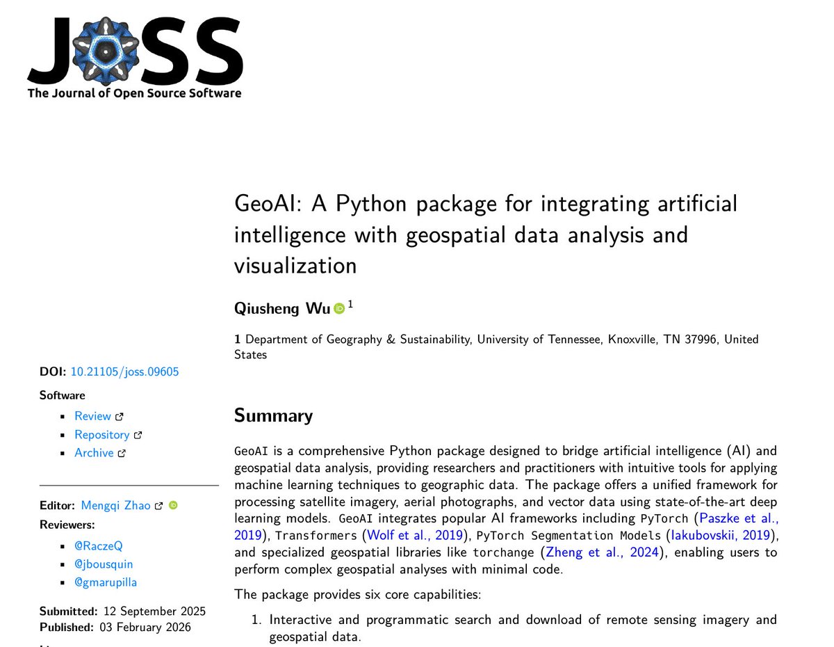
🎉 Excited to share that my paper has been published in the Journal of Open Source Software!
📄 "GeoAI: A Python package for integrating artificial intelligence with geospatial data analysis and visualization"
The GeoAI Python package bridges the gap between AI and geospatial data analysis, providing researchers and practitioners with intuitive tools for applying machine learning to geographic data with minimal code. The project includes:
• 70 end to end Jupyter notebook examples covering a wide range of GeoAI tasks
• A QGIS plugin that brings GeoAI capabilities directly into QGIS, no coding required
📎 Links:
• Paper: https://t.co/qOP9V5Eabw
• GitHub: https://t.co/TBxio7H3jw
• Docs: https://t.co/0w6i7oz9nl
A big thank you to the JOSS reviewers Kamil Raczycki, Justin Bousquin, Akhil Marupilla and editors Mengqi Zhao and Kristen Thyng for their valuable feedback throughout the review process!
#GeoAI #OpenSource #Python #Geospatial #DeepLearning
The Surveyor General of India, Shri Hitesh Kumar S. Makwana, IAS, met Shri Santosh Kumar Yadav, IAS, Chairman, NHAI, on 20 January 2026 in New Delhi.
During the meeting with the Chairman, NHAI, discussions focused on the utilisation of the CORS Network for NHAI’s infrastructure projects, highlighting the vital role of geospatial data and products in the planning, execution, and development of national infrastructure.
On the occasion, a Coffee Table Book on Survey of India and the Geodetic Register were presented to the Chairman, NHAI.
@DrJitendraSingh@karandi65@IndiaDST
#SurveyOfIndia #GeospatialData #InfrastructureDevelopment #SurveyorGeneral #CORSNetwork #NHAI #MappingInitiatives #NationalInfrastructure #GeodeticRegister
Survey of India marked a significant milestone in geospatial governance with the formal unveiling of the First Edition of the State Map of Goa in Konkani, along with the Geodetic Assets of Goa State, by Hon’ble Shri Pramod Sawant, Chief Minister of Goa on 08th January,2026. The initiative underscores the promotion of regional language mapping and the strengthening of geospatial infrastructure.
The programme was held in the august presence of the Hon’ble Chief Secretary of Goa and other senior officials. On this memorable occasion, the prestigious Coffee Table Book titled “A Journey from the Himalayas to Kanniyakumari and Every Island Beyond”, along with the First Edition of the State Map of Goa in Konkani, was presented to the Hon’ble Chief Minister, symbolising the rich legacy and nationwide contributions of the Survey of India.
The publication of the Konkani State Map reflects the strong support and collaboration of the Government of Goa, particularly the Rajbhasha Department, and stands as a testament to the visionary leadership of Shri Hitesh Kumar S. Makwana, Surveyor General of India.
The Geodetic Asset Registers of Goa, prepared in alignment with the National Geospatial Policy–2022 and the New Geospatial Guidelines–2021, provide comprehensive information on critical geodetic infrastructure, including Continuously Operating Reference Stations (CORS). These registers empower government departments, academic institutions, and other stakeholders to directly access precise control point coordinates for developmental activities, significantly reducing procedural delays and enhancing efficiency.
@DrJitendraSingh@karandi65@IndiaDST
#SurveyOfIndia #GeospatialGovernance #GoaStateMap #KonkaniMap #GeospatialInnovation
🚀 New Tutorial Alert: Interactive Segmentation of Remote Sensing Imagery with SAM 3
This tutorial demonstratea new capability in the SamGeo Python package: fully interactive image segmentation powered by Meta’s SAM 3!
With just a simple prompt, you can now extract objects from satellite or aerial imagery, no training, no manual labeling, no complex setup.
🟦 Draw a bounding box to automatically detect all similar objects across the scene.
📝 Type a text prompt to instantly segment objects of interest.
This makes geospatial analysis faster, more intuitive, and more accessible, whether you're mapping buildings, water bodies, vegetation, or any objects in large imagery.
🔗 GitHub Repository (SamGeo): https://t.co/fIwKOLT34E
🔗 Notebook Example: https://t.co/WrcAasq55z
📺 Check out the full video tutorial at https://t.co/bdIOWYcKO3
#SAM3 #GeoAI #Geospatial #OpenSource #Python #datascience
User Workshop | 04 December 2025 | New Delhi
Survey of India successfully organised a User Workshop on 04 December 2025 in GeoSmart India 2025 at Bharat Mandapam, New Delhi, to create awareness about its geodetic services, digital platforms and data products, and to promote meaningful interaction with stakeholders.
Key discussion points included:
• C.O.R.S: Real-time Positioning and Reference Data Services
• Maps & Digital Data Products – SOI’s Digital Platforms
• Geodetic Reference Data Products and Upcoming Geodetic Services
• Professional Training & Capacity Development Programmes
The workshop concluded with an interactive session and open discussions with participants.
Through such initiatives, Survey of India is continuously spreading awareness about its wide range of geospatial products and services in support of national development and digital transformation.
Learn more about our geospatial initiatives at https://t.co/L04DcRygkB
@DrJitendraSingh@karandi65@IndiaDST
#SurveyOfIndia #UserWorkshop #GeospatialIndia #DigitalMapping #CORS #GeodeticServices #CapacityBuilding #AtmanirbharBharat
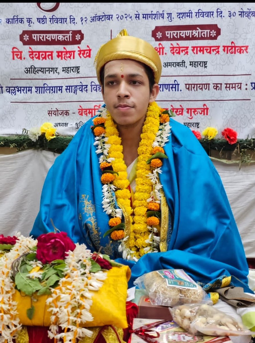
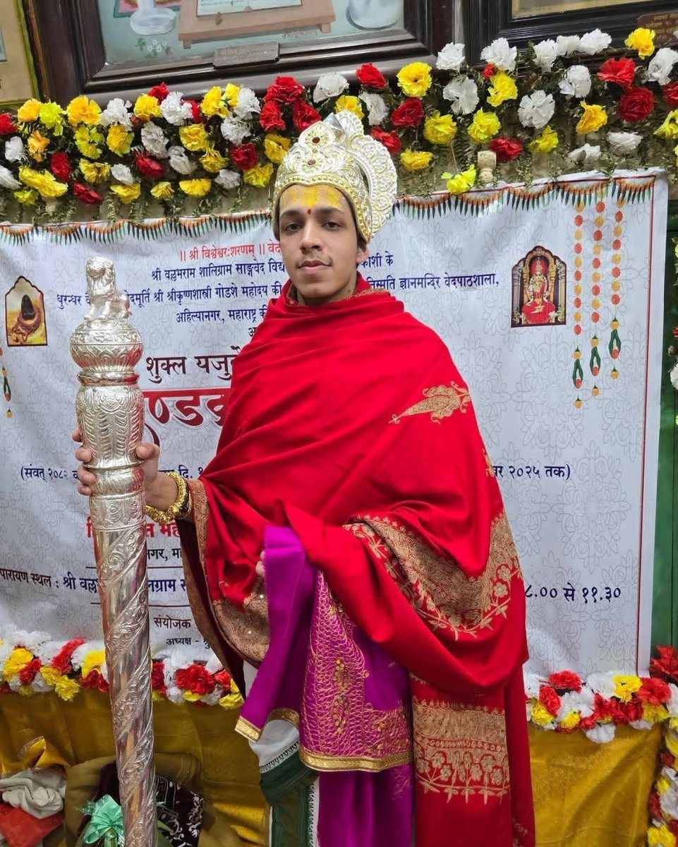
19 वर्ष के देवव्रत महेश रेखे जी ने जो उपलब्धि हासिल की है, वो जानकर मन प्रफुल्लित हो गया है। उनकी ये सफलता हमारी आने वाली पीढ़ियों की प्रेरणा बनने वाली है।
भारतीय संस्कृति में आस्था रखने वाले हर एक व्यक्ति को ये जानकर अच्छा लगेगा कि श्री देवव्रत ने शुक्ल यजुर्वेद की माध्यन्दिन शाखा के 2000 मंत्रों वाले 'दण्डकर्म पारायणम्' को 50 दिनों तक बिना किसी अवरोध के पूर्ण किया है। इसमें अनेक वैदिक ऋचाएं और पवित्रतम शब्द उल्लेखित हैं, जिन्हें उन्होंने पूर्ण शुद्धता के साथ उच्चारित किया। ये उपलब्धि हमारी गुरु परंपरा का सबसे उत्तम रूप है।
काशी से सांसद के रूप में, मुझे इस बात का गर्व है कि उनकी यह अद्भुत साधना इसी पवित्र धरती पर संपन्न हुई। उनके परिवार, संतों, मुनियों, विद्वानों और देशभर की उन सभी संस्थाओं को मेर��� प्रणाम, जिन्होंने इस तपस्या में उन्हें सहयोग दिया।
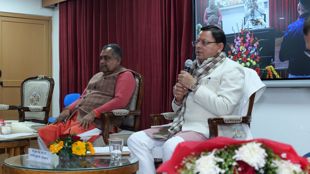
माननीय मुख्यमंत्री श्री पुष्कर सिंह धामी जी ने 28th फरवरी 2025 #NationalScienceDay पर झाझरा, देहरादून में बन र���ी देश की 5वीं #ScienceCity व आंचलिक विज्ञान केंद्र का निरीक्षण किया। यह साइंस, टेक्नोलॉजी और इनोवेशन में उत्तराखंड को नई ऊंचाइयों तक ले जाएगी।
#UCOST #Uttarakhand
Sharing report of "Future Ready Uttarakhand: A Conclave-cum-Workshop on Skills and Employment 2024"!
Download the report https://t.co/rm0Z2A6v7Z to explore insights on skills, employment, and the future of work in Uttarakhand.