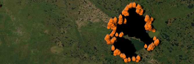
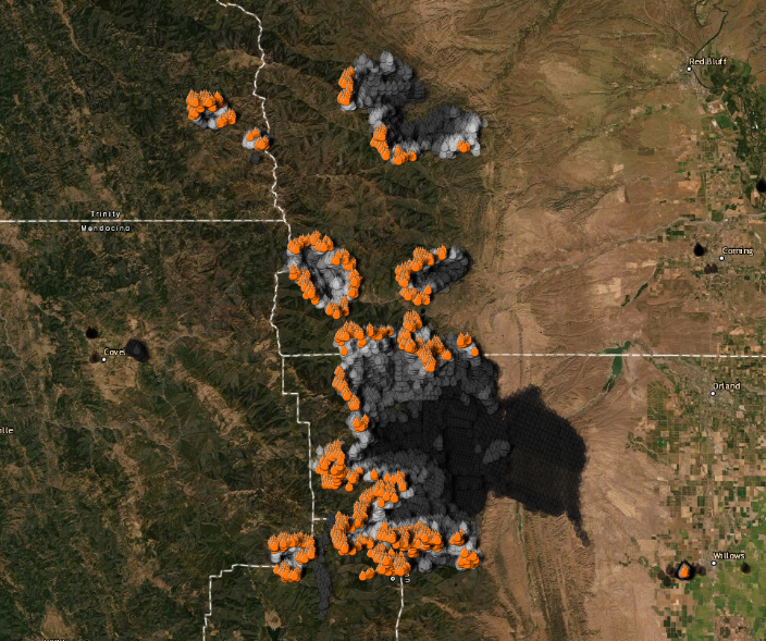
Preliminary and approximate fire perimeter of the #gamecampfire#CapeTownFires as of the morning of the 20th April 2021. The fire started at about 9am on the 18th, flared up again on the 19th and was contained later in the day on the 20th. Active line visible in the South-West.
Firefighters and volunteers have worked tirelessly on the #CapeTownFires. Here’s a quick thread on how you can use the SnapScan app to support organisations assisting those affected by the fire. 1/6
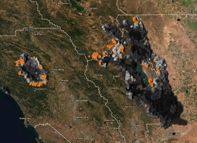
False-colour imagery (red highlights live vegetation) from @planetlabs acquired 28 Feb shows the area burnt by the ongoing fire in the Boland mountains @vwsfires@StellMun. Full resolution image: https://t.co/3IMTY60epN
#UPDATE@NCCEnviron#JulietCrew have been trooped onto the line above @Lourensfor to support partner @CapeNature1
Alpha, Bravo, Echo & Foxtrot Crews have been placed on the line in Stellenbosch to try and contain the fire and extinguish their line.
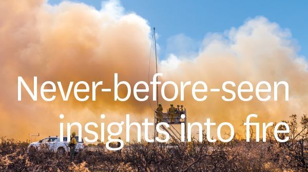
Six experimental burns carried out by our rural fire research team resulted in never-before-seen insights into fire behaviour.
Infra-red & visual footage captured by UAV provided new understanding of the patterns of drafts created by the fire front. More: https://t.co/amxcwO9c4L
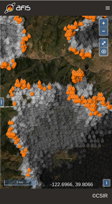
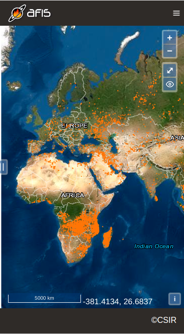
In the meantime please use the "fire report" of the old viewer (https://t.co/9VDNwk9WzV). Click on the button with a flame next to the measurement controls and above the layer selector. We hope that this will help our users to get through the fire season without too much trouble.
We have received a lot of positive feedback (and some negative comments as well) but what stands out is that users miss and are dependent on the LFDI forecast for custom points. We take note of your concerns and we are working on implementing this again in the new viewer and app.
We are pleased to announce that the new AFIS app for Android is now available on the Google Play Store. The new iOS app will follow shortly.
https://t.co/RlBftJVUaj