Recommended reading and an insight into two of the many projects the DataMapWales team supports:
AI in woodland restoration:https://t.co/KMWtDCvzJS
Geospatial tech for underground assets: https://t.co/V4MPquerBx
#AI#Geospatial#Tech
For the uninitiated, @evanroberts23 has written an interesting article as why the Indy 500 is not just an oval race. Anyone for a nice glass of cold milk?
A little opinion piece on the Indy 500 and why i believe it is the greatest race in the world!
I have a look back at some of the traditions and events that have made the historic race what it is!
#IndyCar#Indy500
https://t.co/eqapcdVIto
Mae Llywodraeth Cymru yn hysbysebu ar gyfer Dadansoddwr Daearyddol Ynni Adnewyddadwy i arwain mapio a dadansoddi gofodol ac ymgysylltu efo mentrau ehangach mapio ynni adnewyddadwy morol. Dyddiad cau 5 Mawrth, gweler https://t.co/0UUfnnmpIP
Welsh Government is advertising for a Marine Renewables Geographic Analyst to lead on mapping and spatial analysis and engage with wider marine renewable energy mapping initiatives. Closing date 5 March, see https://t.co/UdY1KaB7MM
Happy International Women’s Day! Today and always, the DMW team recognises and celebrates the talented women in Digital, Data and Technology and Geography. With women in testing, analysis, and mapping, we believe diversity is vital for a reflective and effective team! #IWD2023
Happy St David’s Day from the DataMapWales team! Why not find out more about Welsh place names in your favourite parts of Wales by viewing, or even contributing to, the Mapio Cymru map? Find out more by watching our user guide: https://t.co/GK2HsAxPFN
@LizFox_Tucker @MonmouthshireCC Everywhere that was previously 30mph will become 20mph except where there is good reason to remain 30mph such as main urban through roads, so Bayfields should change. I welcome the safer roads even if some journeys will be marginally slower.
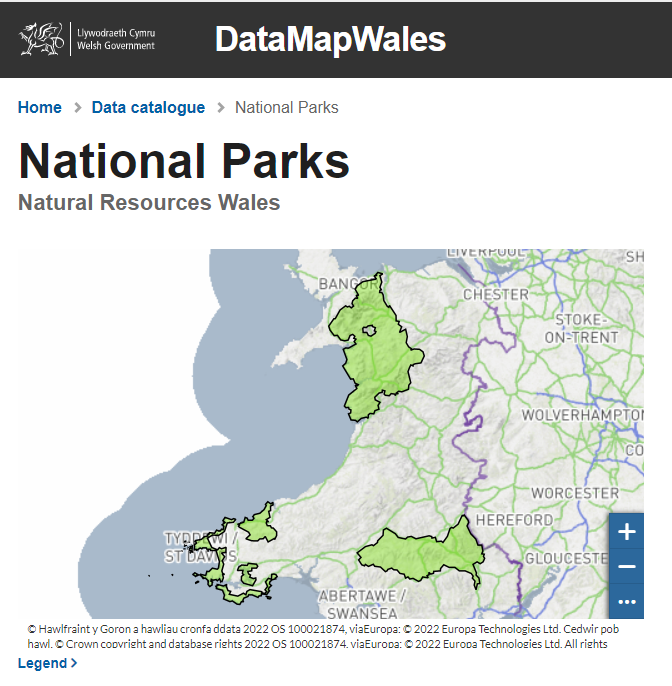
We are excited to announce that DataMapWales is now Live! DataMapWales serves as a source for public sector data in Wales, providing a shared data platform to members of the public and public authorities.
Welcome to the DataMapWales twitter feed. We provide data and maps from the Welsh Public Sector. Follow us to find out more about the site as we prepare for our go-live launch. https://t.co/SM3EQFX5gR
GeoCymru 2022 returns as an in person event at Glamorgan Cricket Club in Cardiff on the 9th September. Join us! 🎟 : https://t.co/NRKftfZ8uL #GeoCymru#Geospatial#GIS
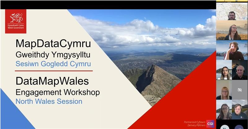
It's been great having over 200 colleagues across the public sector attend our recent DataMapWales engagement events. There is so much interest and excitement to work together using #geospatial data to make a real difference. Lots of great feedback and suggestions from delegates.
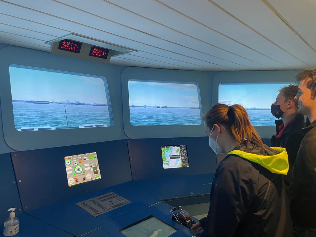
Last week, 3 OCs accompanied TO, SLt Charles to a @HCMM_UK event at HQS Wellington. The evening provided an insight into the CSG 21 deployment with the XO, Cdr Air & OOW of @HMSQNLZ as guest speakers. A unique experience and a chance to integrate with both Merchant & RN Officers.
What lies beneath? ⬇️
Fascinating guest blog about mapping the world beneath our feet and how sharing data can help keep us safe.
#Data#Collaboration#DigitalStrategyWales
https://t.co/kKvARQyrME