🍂 No Leaf Unturned with Mapillary.
@DCDPW uses @mapillary to plan and track citywide leaf collection with street-level imagery, making DC cleaner and safer.
1M+ images, 2,000+ miles covered.
Smarter resources, fewer hazards, real results.
Learn more: https://t.co/OMvrEgKgMe
In West & North Africa, we are working with local municipalities, the healthcare sector, academia, etc, to utilize insights from air pollution data and analyses in transforming urban environments into eco-friendly and healthy habitats.
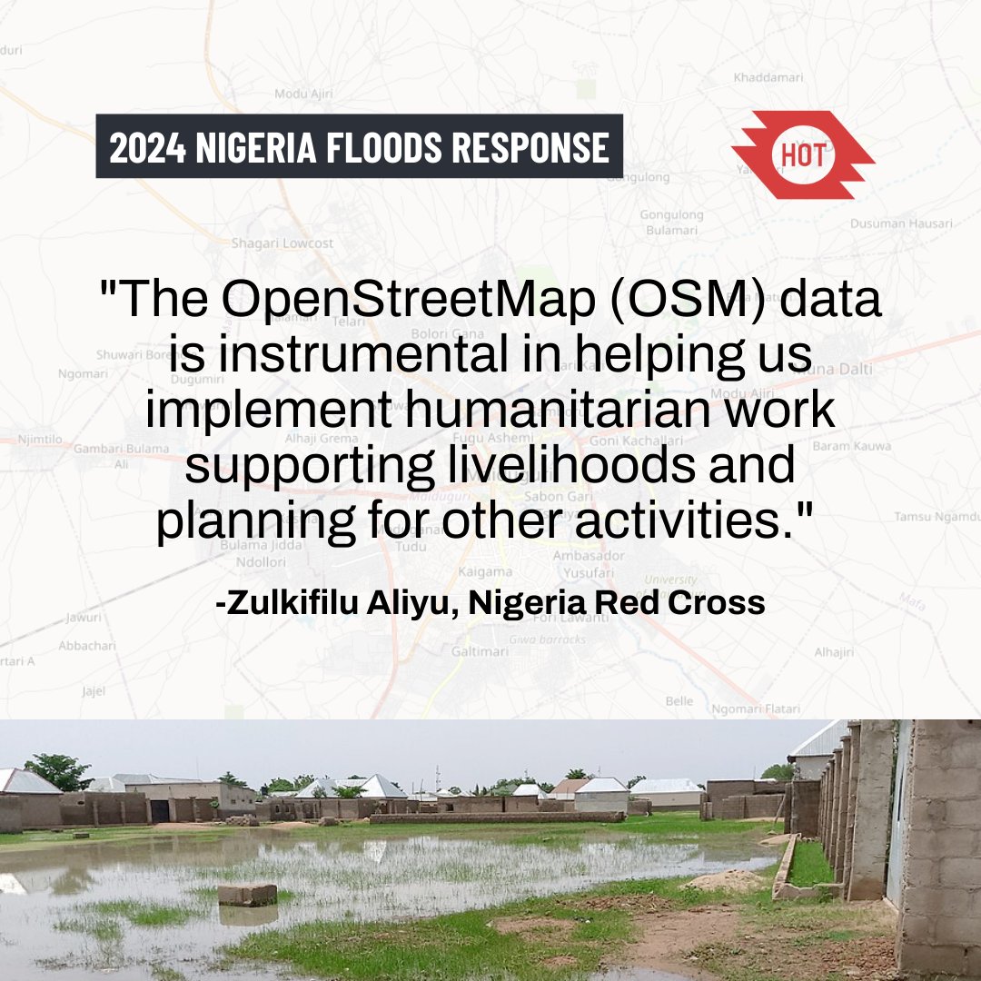
The data that volunteer mappers are contributing for the #NigeriaFlood response is being used directly by the Nigeria Red Cross to support affected people in Maiduguri...
https://t.co/nAKaX1kRQ2
@hotosm@nrcs_ng@TheMissingMaps
The August 2024 floods in Maiduguri, Nigeria, displaced 400,000+ residents, affecting over 70% of the city. You can help through remote mapping—every task makes a difference.
Map here: https://t.co/4cUcn365nQ
#NigeriaFlooding#AidForNigeria#WNAH#HOT#CommunityMapping