Australia's most popular digital agronomy software. 10m + high res NDVI satellite imagery, zoning, Rapid-EM mapping. Available globally. Best Aus Agtech 2023
Don't pay for your #NDVI satellite imagery this season. Our webapp is free to sign up and use. You can have unlimited farms/paddocks. The images are delivered in real-time from the 10metre pixel Sentinel satellite. Auto-zoning coming soon to create instant variable rate files.
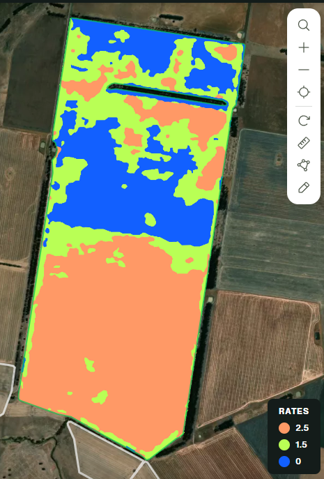
Customer of mine needs to replant some canola. Used @data_farming platform to look at NDVI image of paddock and create a 3 zone prescription map with 3 rates for the replant. Customer has a @vaderstad Seed Hawk so imported shp file into cloud so map syncs with tablet in tractor.
Customer of mine needs to replant some canola. Used @data_farming platform to look at NDVI image of paddock and create a 3 zone prescription map with 3 rates for the replant. Customer has a @vaderstad Seed Hawk so imported shp file into cloud so map syncs with tablet in tractor.
Paraquat products like Gramoxone will be discontinued after 2026. Growers should plan ahead with alternatives like glufosinate or Group 14 herbicides for burndown programs. Full details: https://t.co/saAbnVHE0a #kstateagronomy
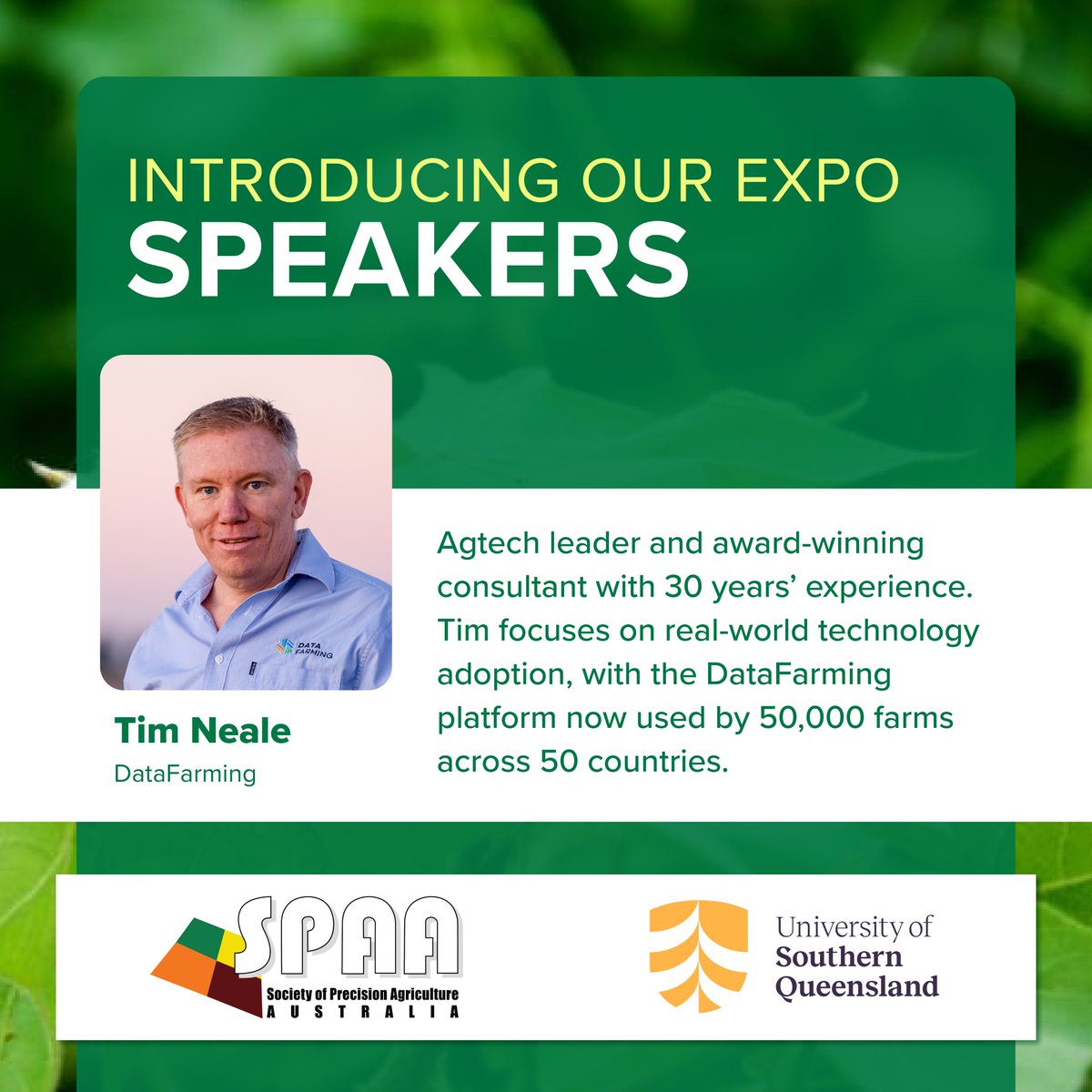
In this episode of GRDC’s Grain Automate podcast series we speak with @TimNeale1, an expert agronomist and the director of @data_farming, a precision farming company based out of Toowoomba in southern Queensland. @SPAA_Inc
Listen now: https://t.co/AFv2KaYlaB
#GRDCPodcast #GrainAutomate
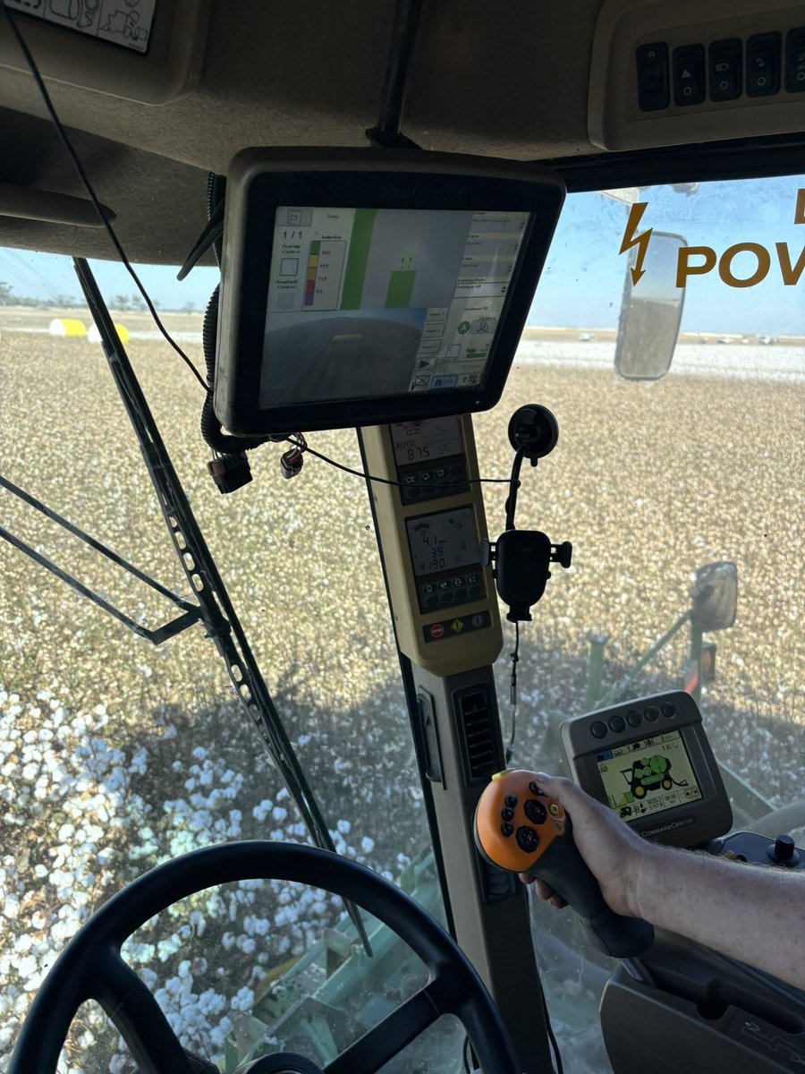
On farm this morning swapping a 2630 display that was playing up in a 7760 picker. Went for a run to fine tune once installed. It’s dry, but great weather for picking. 748 in this paddock yielding very well.
Had a great day with customers of @stgmachinery discussing all things autonomy, agtech and precision ag as part of @theGRDC Grain Automate program. @SPAA_Inc
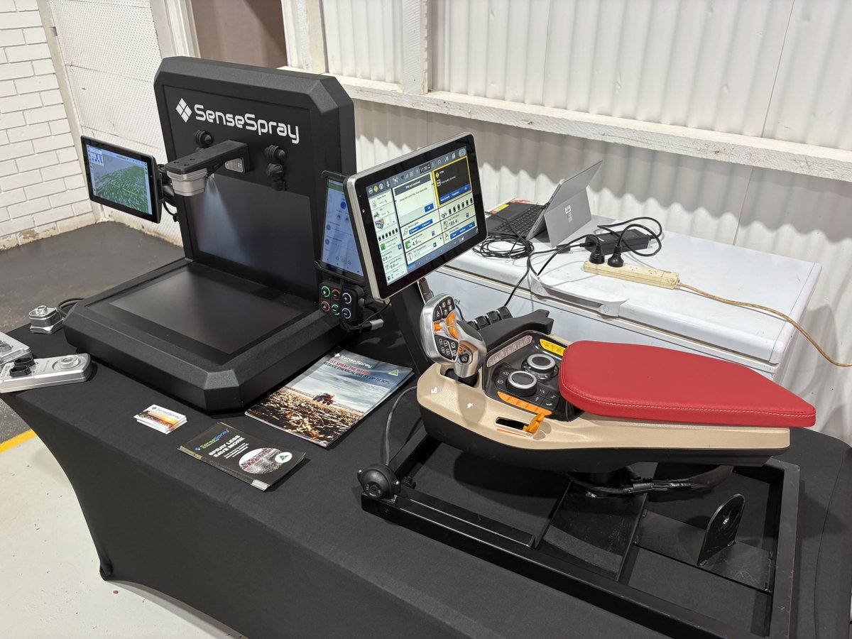
A new targeted spraying system could reduce herbicide use by up to 80% using existing boomsprays.
Developed by @data_farming and analysts from the @Sydney_Uni, WeedSAT™ uses sat imagery to identify weed patches.
Read more: https://t.co/i6A1JRX6iy
#GRDC#GroundCoverOnline
Can satellite imagery help reduce spray costs?
weedSAT, developed with GRDC investment, detects larger, hard-to-kill weeds and integrates with existing boom spray tech.
Early trials show strong ROI and reduce chemical use.
Listen now: https://t.co/4ELSMvhsKl
#GRDC #PrecisionAg| @data_farming |@SPAA_Inc
We can't wait to hear from Tim Neale from DataFarming, just one of our expert speakers at the upcoming 2026 SPAA Precision Ag Expo in Toowoomba in a few weeks.
🗓️18-19 March
👉Day 1 - University of Southern Queensland
👉Day 2 - Field tour
🎟️Register now https://t.co/x2KvfAhF5e
@TimNeale1@data_farming@unisqaus
Some great feedback from a seed company user on our platform. "Last year we improved site selection dramatically using the stacked analysis and reviewing individual images." Get umlinited STACK on a PRO subscription or $99/field
Absolutely 💪🇦🇺
This is what real-world innovation looks like Aussie agtech built by growers, for growers. Automation that cuts costs, boosts efficiency, and tackles real paddock problems instead of hype.
@flux_robotics@SwarmFarm@data_farming showing how smart tech can future-proof grain farming. Exciting times indeed for Australian agriculture 🌾🚜 #GrainAutomate #Agtech #AussieInnovation
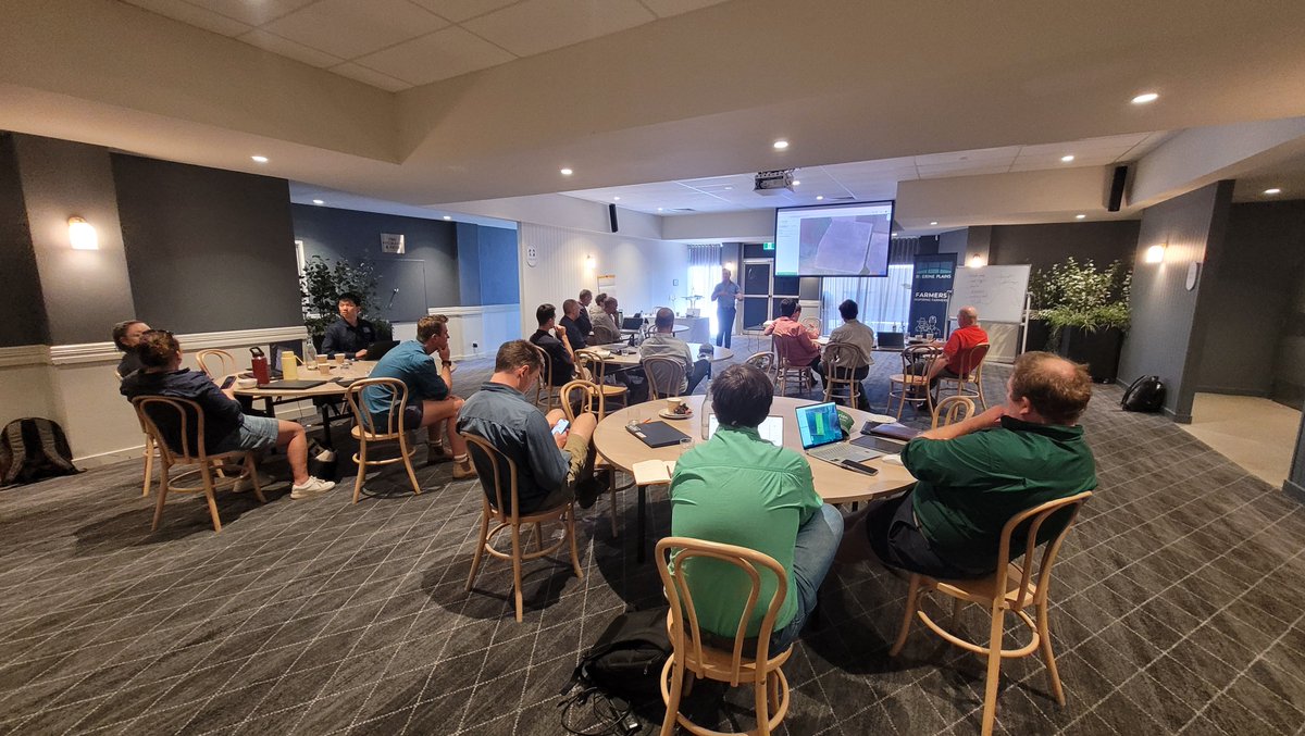
Had a great week this week presenting workshops on #digitalagronomy and #precisionag for @RiverinePlains Great rollups of farmers on day 1 and agrons on day 2. Was a lot of fun divign into the detail on day 2 with the agro's, who were all really keen to know more @data_farming
@BrettAtkin05@TimNeale1@theGRDC@Sydney_Uni We're using hyperspectral data for GoG. Much larger pixels but a lot more bands of light to play with to discriminate weeds from crops. Early days but results are promising. @theGRDC