A partnership between international organizations and companies, created to facilitate the use of third-party data in research and international development.
A very strong El Niño is expected through early 2027, increasing risks of extreme heat, drought and flooding. Food insecurity impacts may peak in the following lean season and will vary by region.
More in our Food & Nutrition Security Update: https://t.co/6whPgciUPh
Internet coverage reaches just 63% of people in Indigenous territories in the Amazon. A World Bank analysis using @Speedtest data through the Development Data Partnership highlights the need for targeted investment to close connectivity gaps.https://t.co/8V7pVqbDIo
Broadband covers just 3.5% of the Amazon biome’s area, a World Bank analysis found using @Speedtest data through the Development Data Partnership. Connectivity gaps can limit timely data sharing from tools such as camera traps and drones. https://t.co/8V7pVqbDIo
How can private-sector data support more sustainable cities? For #WorldCitiesDay, our latest blog shows how data from @JBAConsulting, @Mapbox & @Veraset helped teams study land use in Amman, flood risks in Itahari, and neighborhood interventions in Bogotá. https://t.co/kQDU9mdmu2
Cities can connect workers to more firms, occupations, and opportunities.
But when housing and transport costs absorb the urban wage premium, density stops delivering on its promise.
Good urban planning is also jobs policy: https://t.co/jGpXOWoa66 #WBGAtlas
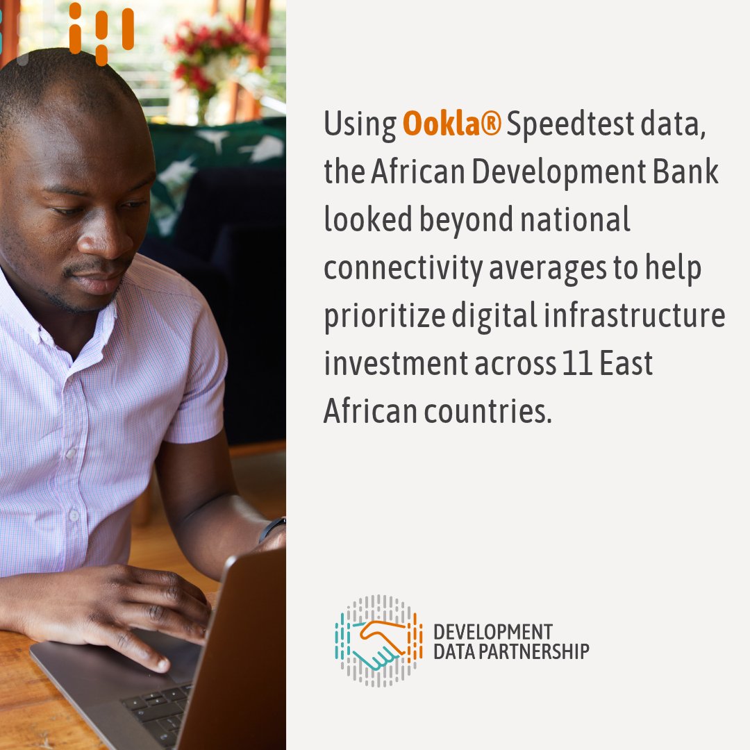
National averages can hide local connectivity gaps. Using @Speedtest data through the Development Data Partnership, @AfDB_Group built a platform that can weight results by where people live to help prioritize digital investment in 11 East African countries.https://t.co/q9T2X4U87v
Where should digital investment go first in East Africa? Using @Speedtest data through the Development Data Partnership, @AfDB_Group developed a platform to identify connectivity gaps and help prioritize investment across 11 countries. https://t.co/q9T2X4UFX3
How can #flood data help countries act before hazards become disasters? For #DRRDay, a new Development Data Partnership blog explores how data from @JBAConsulting supported disaster risk reduction in Rwanda, Costa Rica and Egypt. https://t.co/0YWzBDYRZb
How can mobility data inform event planning? A World Bank analysis used anonymized Veraset data to identify changes in activity across Istanbul around Republic Day 2023, comparing each area’s daily activity with its pre-event pattern. https://t.co/SrIuOmqtAS
A World Bank analysis using Veraset data tracked urban activity across Istanbul around Republic Day 2023: activity rose on October 28, peaked on October 29, and returned close to baseline after October 31. Increases extended across the city. https://t.co/SrIuOmqtAS
A degree or job title does not always show the full range of a person’s skills. An @OECD study found that workers increasingly use digital platforms to show employers what they can do, beyond their education and previous jobs. https://t.co/TIDIAN6Tcq
Listing skills online showcases more than degrees and jobs. Using LinkedIn data, official statistics & other sources, the @OECD found this appears to be associated with shorter periods between employment. especially for those not listing formal education. https://t.co/TIDIAN6Tcq
Data can support knowledge sharing across the Global South. For #SouthSouthCooperationDay, our latest blog explores how approaches to assessing flood risk and school connectivity could inform work in other countries. https://t.co/9Cg9ZPykC5
How can a motorcycle ban affect emissions in Hanoi? An @ADB_HQ model using GrabMaps, Quadrant & VesselBot data estimated a 32% reduction in traffic-related PM2.5 emissions in the proposed low-emission zone. It also assessed effects on surrounding roads. https://t.co/Sq91uybA97
Transport restrictions may cut emissions yet shift traffic and pollution to nearby roads. An @ADB_HQ project combines GrabMaps, Quadrant & VesselBot data with transport and emissions models to help cities assess policy options before implementation.https://t.co/Sq91uybA97
How can #data help cities tackle #AirPollution? For #CleanAirDay, we look at three projects using data from our partners to inform action on air pollution. https://t.co/LhmL1jZpwq
An @ADB_HQ project uses @JBAConsulting’s Global Flood Maps and wealth data to help decision-makers identify communities most exposed to flooding and target support more effectively. https://t.co/u0LeVMrpIr
An @ADB_HQ project combines wealth data with @JBAConsulting’s Global Flood Maps to identify communities where high flood exposure overlaps with low wealth. https://t.co/u0LeVMrpIr
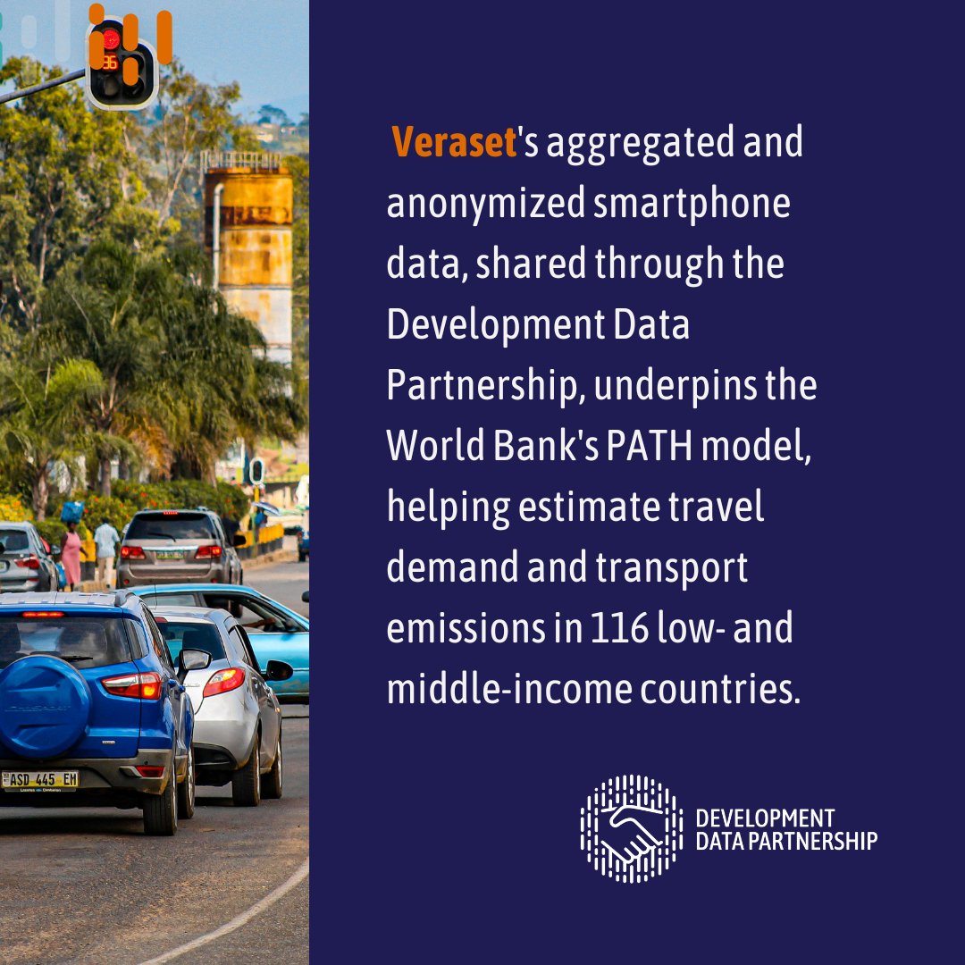
Via the Development Data Partnership, Veraset's aggreagted and anonymized smartphone data supports the World Bank's PATH model, which estimates transport demand & emissions across 4,000 cities. https://t.co/aibw7MYlDK
How can cities plan sustainable transport when mobility data is scarce? The World Bank's PATH model uses anonymized Veraset smartphone data to estimate transport demand & emissions. https://t.co/aibw7MYlDK