🌍 Turning satellite data into decisions.
At DENG GIS & Remote Sensing, we transform complex spatial data into clear, decision-ready maps for researchers, NGOs, government agencies & businesses across Africa and beyond.
📩 Let's map your project → +233 543077366
Turning location data into business strategy 📍
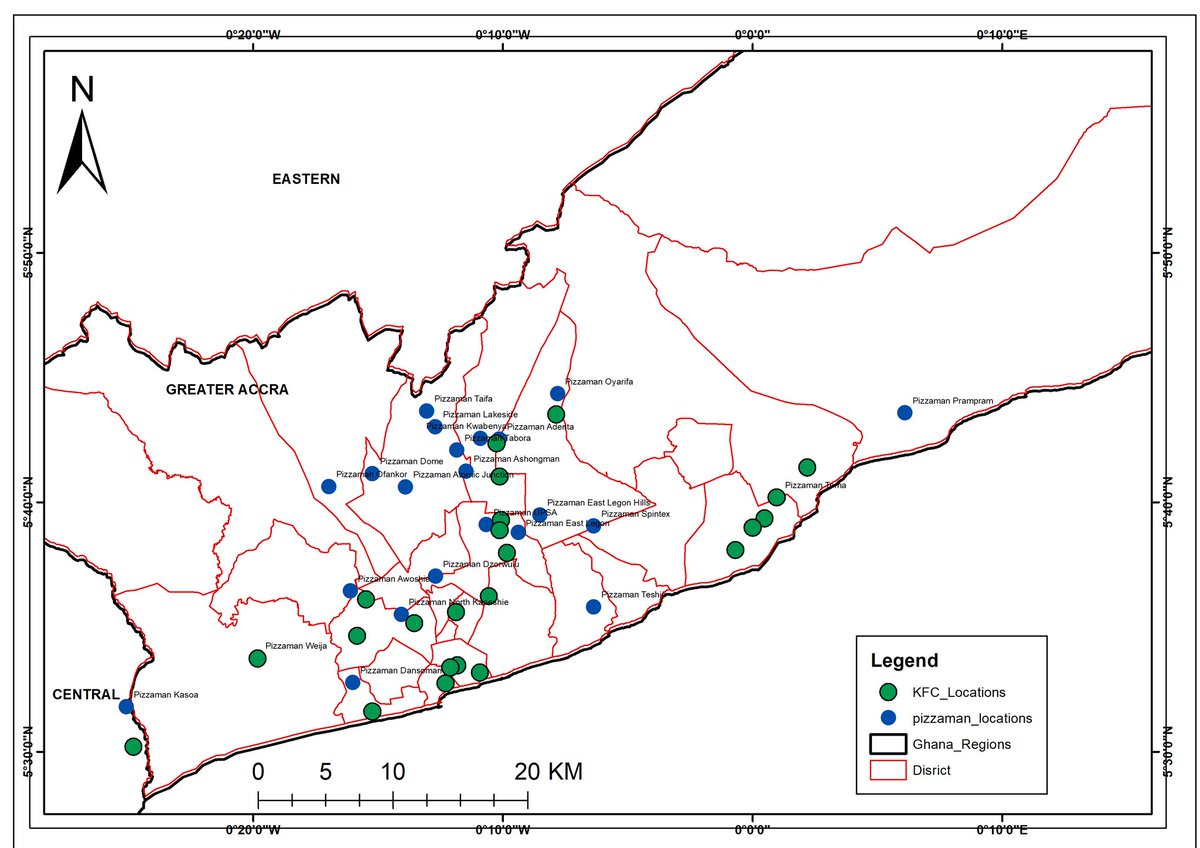
Analyzed Pizza Man & KFC outlets across Greater Accra using GIS to reveal:
Market saturation vs opportunities
Service area boundaries
Competitive postioning
Coverage gaps
Need spatial analysis? Contact details in the flyer 👇
#GIS
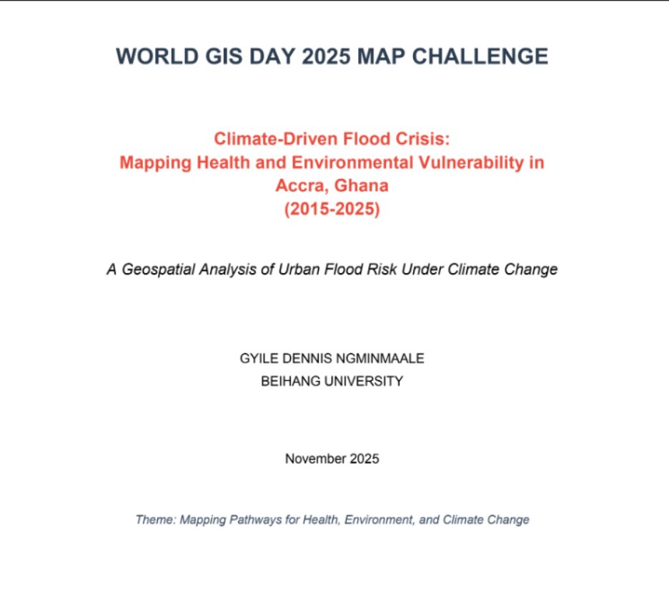
We’re excited to unveil the top three winners of the @dsn_ai_network World GIS Day 2025 Map Challenge.
Over a 21-day sprint, we received 24 strong submissions from across the globe. Each entry tackled real-world problems through geospatial intelligence, and the review panel evaluated them on innovation, data accuracy, visualization quality, and clarity of insight.
Here’s the final ranking:
1st Place – Gyile Dennis Ngminmaale
Climate-Driven Flood Crisis: Mapping Health and Environmental Vulnerability in Accra, Ghana (2015–2025)
2nd Place – Oboni Nadimah Abubakar (@Na_Deemah)
Mapping Pathways for Health, Environmental and Climate Change
3rd Place – Nazir Sani (@NazirSani18)
Barriers to Health Access: Conflict Intensity and Health Facilities in Nigeria – Identifying High-Risk Zones for Medical Aid Delivery
Thank you to every participant who submitted a thoughtful, well-crafted project. Your work shows how powerful geospatial technology can be in shaping smarter decisions across health, climate, and community development.
#datasciencenigeria #WorldGISDay2025
We can see there is a high different from 2015 and 2022 when it comes to soil moisture in Ghana. Soil moisture is a key variable in controlling the exchange of water and heat energy between the land surface and the atmosphere through evaporation and plant transpiration.
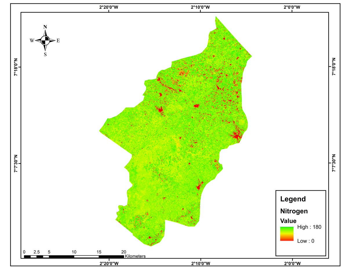
Nitrogen mapping in tano North district. Green area show where there is nitrogen and the red show where nitrogen is absent. Nitrogen play a critical role in plants or crop growth. Management can make decisions out of this to know where to farm and where not to
@Jimmy_Al_James @GeospatialDev_@linkupbilly@GintechG@gischatbot@jobingis@GISEd I used the landsat 8 band 4 and 5, and calculated for the NDVI ( normalized different vegetation index and after that calculated for nitrogen with the sufficiency index formula.