I'm excited to announce the publication of my article resulting from my master's degree in the Ocean & Coastal Management Journal.
You can access the article for free for the next 50 days here:
https://t.co/E0klq5tEZj
Enjoy reading!
Built a script today to create a building density map for anywhere in the world using Google #EarthEngine and the @Microsoft Global ML Building Footprints dataset from the GEE Community Catalog. Try out the script on your own region of interest https://t.co/NBHThWsBLO
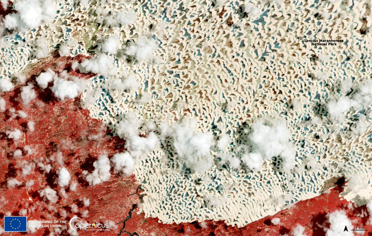
IMAGEM | Os lençóis maranhenses vistos do espaço. Imagem do satélite Sentinel-2 do @CopernicusEU mostra o parque nacional e uma das maravilhas naturais do nosso país.
#SIMOCUTE pretende:
- mejorar los procesos de toma de decisiones políticas sobre el manejo del territorio 🏛️
- mantener la calidad e integridad de los ecosistemas 🦥
- generar los reportes de información sobre el cumplimiento de los compromisos nacionales e internacionales 📊📗
New research from @ConservationOrg, @UMNews and other partners shows that prioritizing nature's benefits to people simultaneously advances human development, nature conservation, and climate mitigation goals.
Via @Physorg_com https://t.co/EAzUshGXOh
PS: If you want to learn how to create gorgeous, informative maps, join our free Cartography #MOOC. Course opens February 22.🗺️ https://t.co/Ah9XSAFglU
We want you for the #UR22 Global Forum to discuss the latest 💡 in #DisasterRisk management
📍 28 Nov–2 Dec. Florianopolis 🇧🇷 + online + satellite hubs
✨ Make connections w/ a vibrant global community
✅ Register today https://t.co/VTRVpIiPUi
#RiskReduction#Resilience#Climate
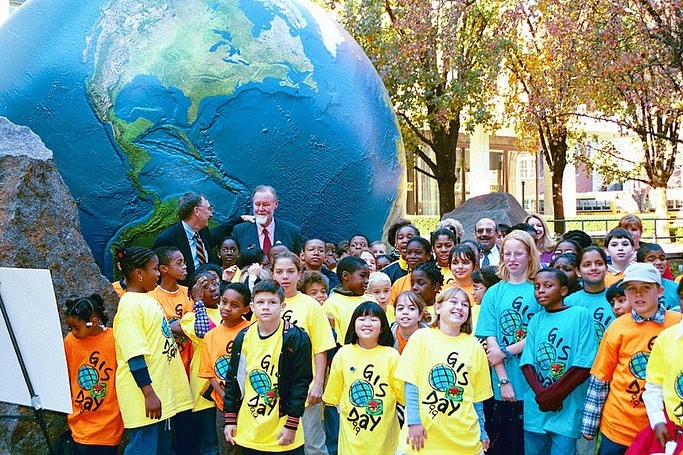
The first GIS Day celebration was on Nov. 18, 1999 at Murch Elementary School in Washington, D.C. 🏛 In attendance were Jack Dangermond of Esri, Dr. Roger Tomlinson, and a few dozen students eager to learn about GIS. Read more about the origins of #GISDay: https://t.co/mH64hjDFEk
Geographic Information System (GIS) tools are a powerful way to visualize Earth's interconnected systems and how they interact with society.
This #GISDay, explore some of @NASA's resources for studying air quality using GIS StoryMaps: https://t.co/y0b4C7nNBq