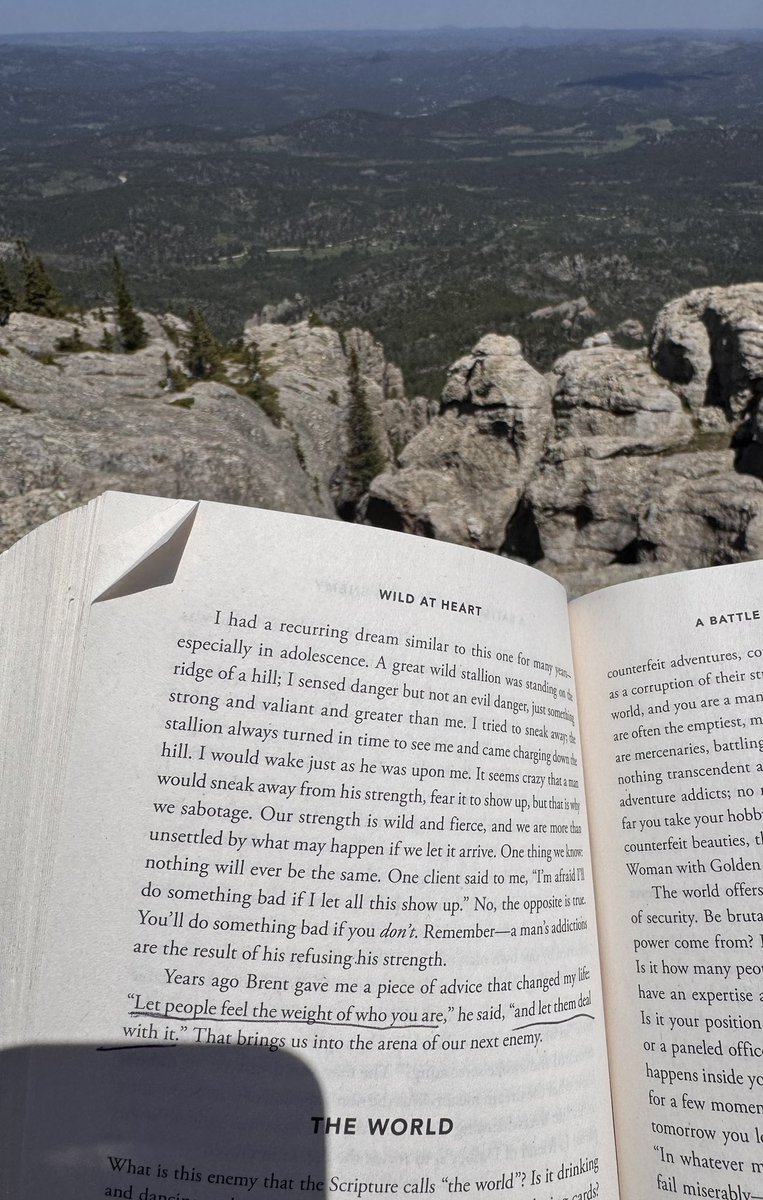
NWS has some of the best people, and I’ve had the honor of temporarily working with the amazing staff at the Rapid City office for a couple weeks. It’s been fun! I’m also enjoying exploring the Black Hills during my off time.
...driven by confluent flow within the warm conveyor belt and its anomalous deep moisture leading to significant storm coverage and messy storm modes. Nevertheless, in at least small/brief corridors of favorable storm mode, kinematic/thermodynamic fields will support tornadoes.
It isn't often you see 90+ hours of a strong IVT anomalous moisture transport signal over the same area. This will lead to a serious flooding situation in the lower Ohio and mid-Mississippi Valley regions. The very high QPF signal has been in the models for quite some time.
The high-end severe threat seems a little more conditional, and hopefully won't overshadow the messaging of the dangerous flooding. Mid-upper flow is rather straight, with stronger forcing displaced well northwest. In this synoptic setup most of the convection should be ...
The recurrence interval for these type situations is quite low. Deep/persistent/intense mesocyclone, limited near-term potential for storm mode change, and very broad downstream warm sector with dangerous parameter space.
Decent snowfall, after a few years below normal. Good job by my team at @NWSIndianapolis! A lot of new tools and challenges emerging now, with a movement deeper into a probabilistic world. It will be fun to look at this in retrospect and adjust/refine our approach as needed.
Notice at @SkyPixWeather's desk, a heavy weighting toward observational data analysis in order to understand what the atmosphere is currently doing. He is one of the best at comprehensive obs-based analysis and extrapolating over the next 6-12 hours. https://t.co/mQ6Q4nYZ5b
Now more than ever it's easy to get bogged down in the data. One of the most important forecaster skills is to be able to narrow down the fire hose of data, focusing on just what you need to tell the story of a most likely outcome, and reasonable best/worst case scenario. (cont.)
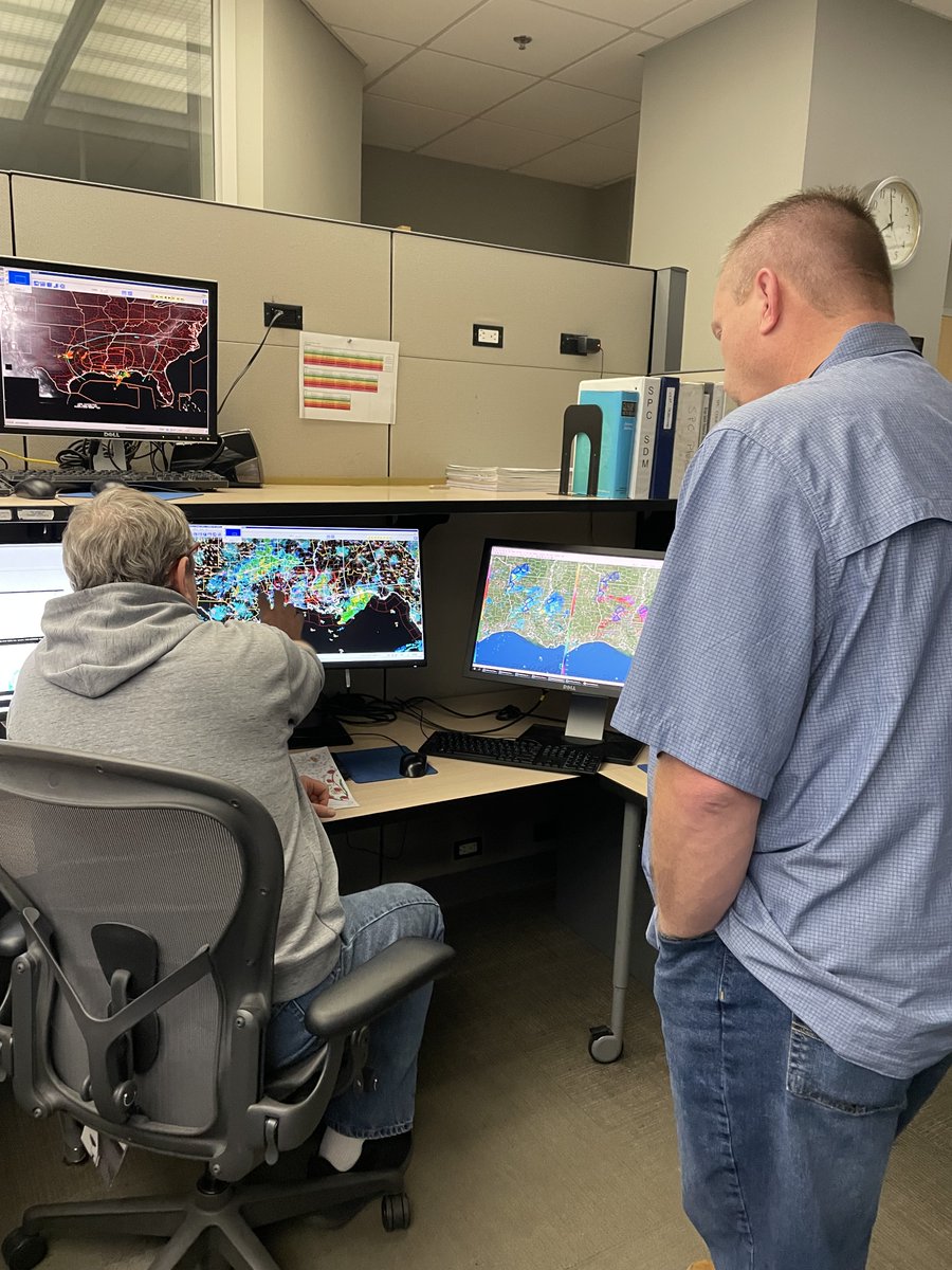
A severe storms outbreak is underway this morning across parts of the south-central U.S. Lead forecaster Roger Edwards briefs Lead forecaster John Hart at shift change this morning in SPC operations.
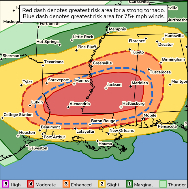
Severe storms & tornadoes are expected today into tonight across the Southeast.
Although we were still slightly under the actual snowfall amounts with our day-of forecast update, a simple blend-it-and-send-it forecast approach would've under-represented amounts and associated travel impacts. When these situations arise, don’t be afraid to be a meteorologist!
Another low-end winter weather forecasting case to share (12/12/24). This time a little more of a success story, and a good example of the importance of a probabilistic forecast mindset AND applying old school meteorological conceptual models—a powerful combination. 🧵
It appears that dendritic growth was most prominent (based on observations) within the narrow band of stronger mesoscale ascent, while out side of that (over Indianapolis) needles and columns dominated since the saturated atmosphere was warmer than the dendritic growth zone.