Singapore through SkyFi 🛰️
From a regional view down to Changi airport, Sentosa, the Port, Marina Bay, and the CBD, imagery from @vantortech , @planet , @umbraspace , and @Satellogic
Different use cases call for different imagery sources. SkyFi brings them together so you can search, compare, and buy in one place.
https://t.co/PJr4waApOT
Featured in @Newsweek: A satellite image delivered by SkyFi revealed an unidentified object at Scarborough Shoal, one of the most contested reefs in the South China Sea.
The analysis from @SeaLightFound indicates the object appears to be under 10 meters in diameter. Whether it is fixed or floating remains unclear.
Read Newsweek's full report: https://t.co/GqIryC1hoK
SkyFi has advanced to the Mission Track of NATO DIANA's Defense Innovation Accelerator for the North Atlantic (DIANA).
As one of five companies selected from DIANA's 2026 cohort of 150 innovators, and chosen from over 3,600 proposals across 24 NATO countries, SkyFi is now entering the adoption phase of the program.
In the coming months, we will refine our AI-enhanced geospatial decision-support platform alongside NATO end-users, aiming to broaden coalition interoperability and strengthen decision support in contested, denied, and austere environments.
Thank you to @NATO DIANA for the opportunity to support the readiness of all member nations.
Read our full announcement 👉 https://t.co/0VY043oL3c
The Earth doesn't stop changing. Neither should our ability to monitor it.
Earth Day is a reminder that better decisions start with better visibility.
Deforestation, flood risk, urban expansion, wildfire monitoring, crop health: these aren't abstract concerns. They're measurable, trackable, and actionable when you have the right view.
SkyFi brings together 50+ satellite providers and built-in analytics in one platform, giving organizations a clearer picture of the planet and enabling faster answers about what's happening on it.
We only have one Earth. Let's keep a close watch on it.
Happy Earth Day. Start monitoring what matters. → https://t.co/edMMs6SQ0U
Sourcing the right satellite imagery shouldn't be complicated.
SkyFi gives you access to @Satellogic 's high-resolution satellite imagery and the ability to task new captures for the exact area and timeframe you need.
Compare across the world's leading providers and order everything through a single platform in minutes.
Explore Satellogic on SkyFi today 👉 https://t.co/JluForw4xT
Everyone’s racing to put more sensors in orbit. Good.
But the hard problem was always getting that imagery to the people who need it, fast. A commercial customer pulling archive imagery through a single API, or a warfighter receiving it at the edge. That’s what we built @SkyfiApp to do.
@DefenseOne
https://t.co/W3miJCUTMV
Still can't get over the Olympics? Neither can we. 🏒
Watch Milan's Olympic hockey arena turn into a historical world stage in seconds.
With Vantor Connect by SkyFi, track construction from first dig to final build with on-demand satellite monitoring, historical data & 3D models.
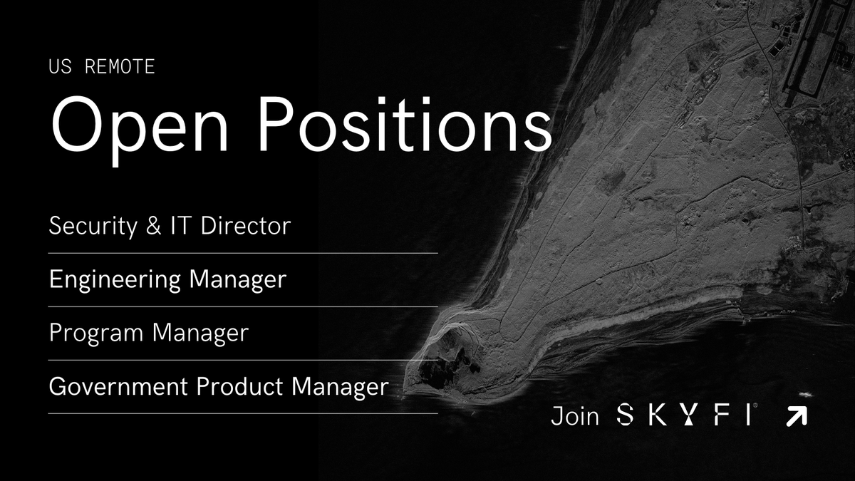
We’re hiring leaders to help build the future of Earth intelligence 🌍
Open roles at SkyFi:
💼 Security & IT Director
💼 Engineering Manager (Senior / Director levels)
💼 Program Manager
💼 Government Product Manager
Apply now: https://t.co/XoNn8VSTHB