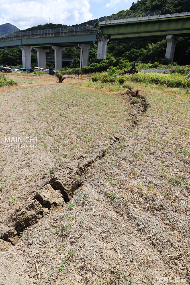
China: Scientists have identified the first surface rupture from the 22 October magnitude 7.0 Baqên earthquake in Tibet, about 15 km east of the epicentre.
The fault produced around 3.5 metres of vertical displacement, with up to 0.9 metres of left-lateral movement locally.
Investigators also found sand liquefaction and ground fissures. The earthquake was caused primarily by normal faulting as the crust stretched.
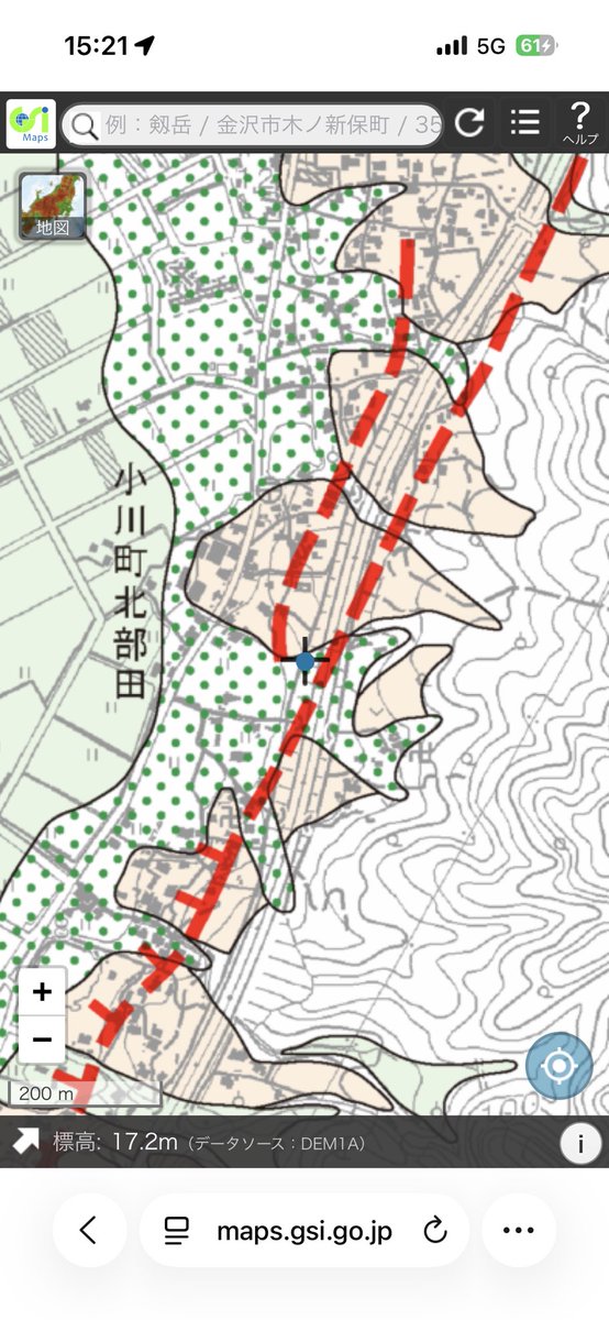
Amazing footage of surface rupture forming on the Hinagu Fault in Kumamoto during the Mj7.1/Mw6.8 earthquake! This is the second time CCTV has captured surface ruptures forming so clearly. #地震#geology#geoscience
Credit: https://t.co/coYnJBrjjz_matsumura on Threads
Paleoseismic investigation (study of prehistoric earthquakes) using earthquake fault trenching of a newly identified thrust fault in Humboldt County, California
Opened trench this week
Stratigraphic structural relations are promising
Background info:
https://t.co/zKR5l26o1W
"Periglacial landforms and deposits from the Last Glacial Maximum to the Holocene in the Visogno and Spluga valleys (Central Italian Alps)" by Pietrogrande et al.
Full open-access article available here: https://t.co/Gf0BZW6Ke4
Marco Cuffaro, primo ricercatore dell’Istituto di Geologia Ambientale e Geoingegneria del CNR, risponde alla domanda: “Quali sono i valori che orientano il tuo lavoro al CNR?” Destina il tuo 𝟓𝐗𝟏𝟎𝟎𝟎 𝐚𝐥 𝐂𝐍𝐑: 𝟖𝟎𝟎𝟓𝟒𝟑𝟑𝟎𝟓𝟖𝟔.