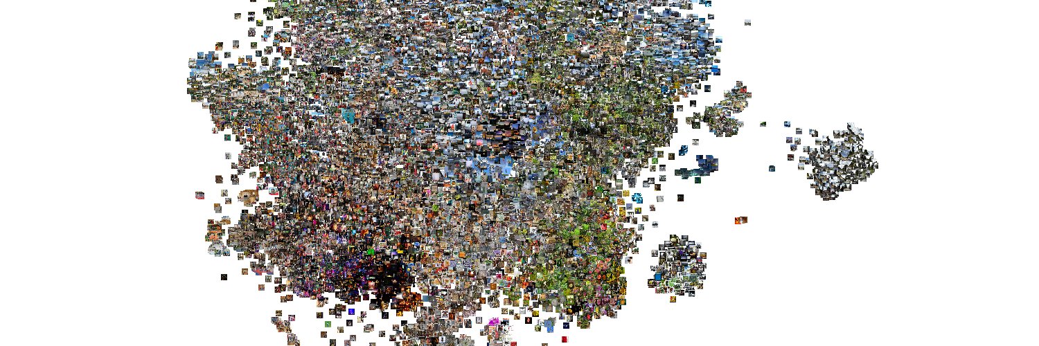
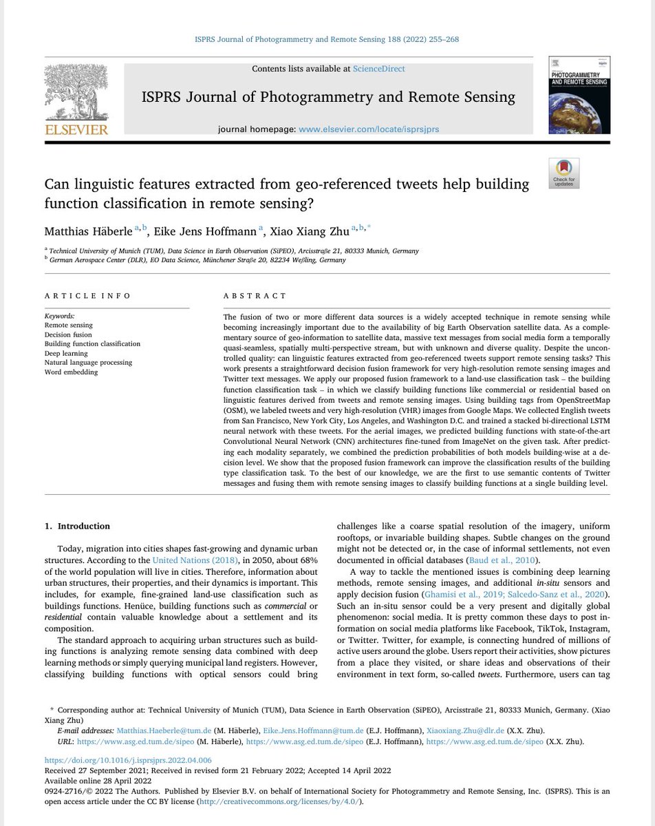
Tweeting for #socialgood? We discuss how we could harvest geo-information from #socialmedia data, such as text messages and images: perspectives, data issues, geo-information retrieval, #ethical opportunities and applications. #remotesensing
Link: https://t.co/fVuWfYmnkh
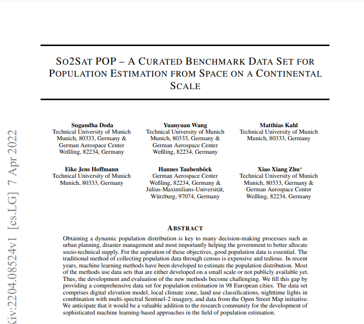
💫#HelmholtzAI CountMeIn Challenge💫
📅 11 Apr - 23 May 2022
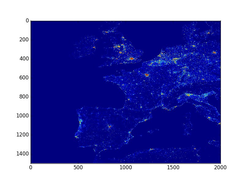
Solve a challenging #DataScience problem: a spatially resolved population estimate based on satellite images!🛰️🗺️
Work on 2⃣ tracks: GoGreen🌱& GoFast⏱️
Learn more:👉https://t.co/mdSxuexObV
Our DynamicEarthNet benchmark was accepted as a #CVPR2022 paper! We hope to give change detection from space its ImageNet moment. This took more than 2 years to build so I'm gonna be offended if you don't use it ;) see you in New Orleans!
So happy to announce DENETHOR, the first paper of my Ph.D. which has just been accepted at the NeurIPS dataset track. We present a novel dataset for crop type monitoring from space with daily, analysis-ready data (1/4)
Paper: https://t.co/7FLDugxlx1
Code: https://t.co/ZwAfxknZJo
so excited that we finally launch our joint challenge! Improve food security and play with analysis-ready, daily satellite image time series for crop type mapping :) Lots of prices and karma to win. Find out more at: https://t.co/zXrnadx0uJ
I am giving a talk reflecting on my time at @ai4eo_de and the broader scope of my PhD research on machine learning for geographic data on July 2nd! 🌏🤖
Come and join 👇
📢Join us at #DynamicEarthNet Challenge (15March-1June). With a huge effort from our colleagues at @DLR_en, @TUM and @Planetlabs, a rare opportunity is provided to delve into multitemporal #EarthObservation data and innovate🤓.
see👉https://t.co/n9KhUpSe6D and hurry up😉
Globimap implementation is now available from github. You can store small sparse raster datasets with less than one bit per pixel!
https://t.co/78ojn981NW