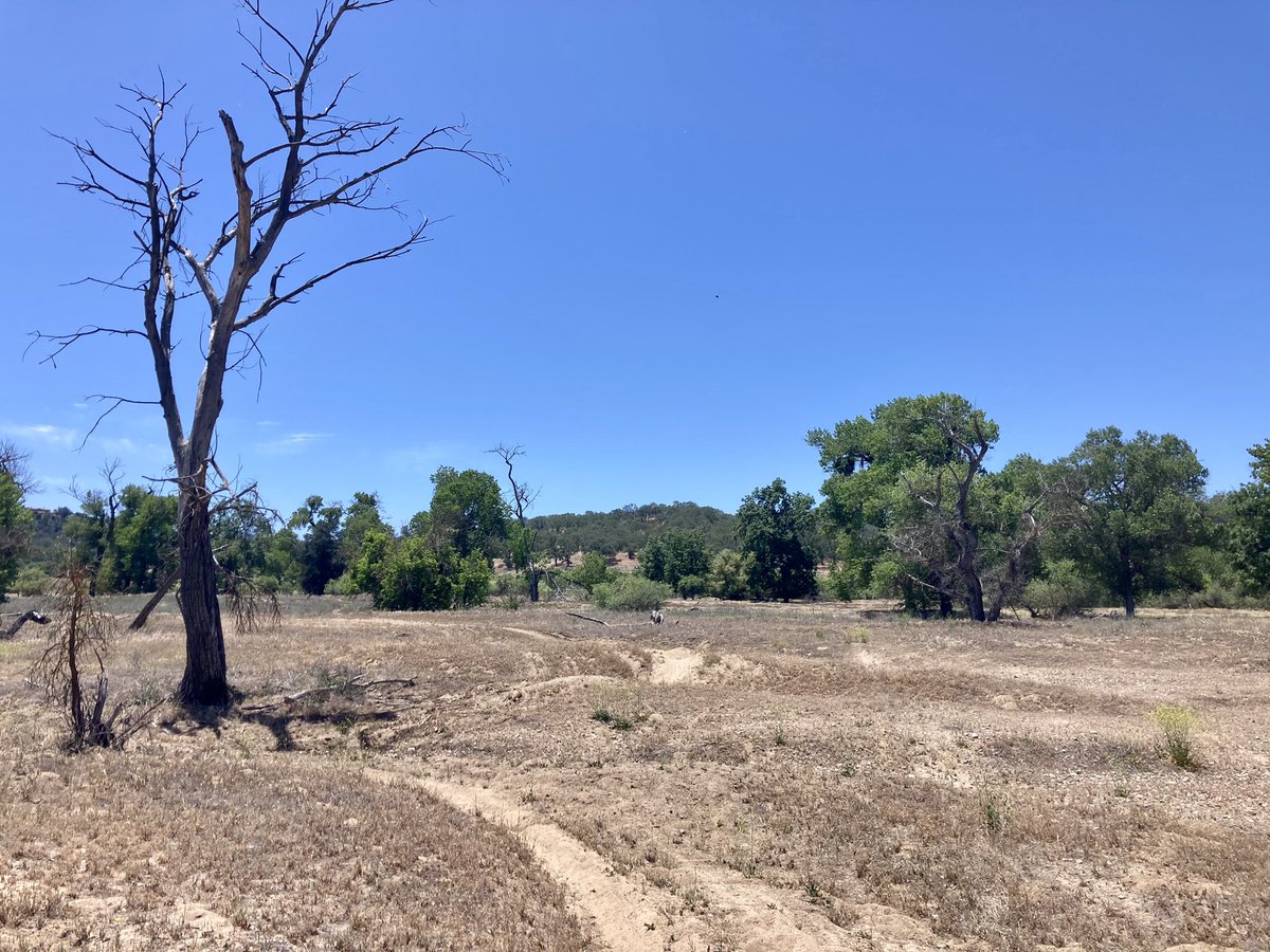
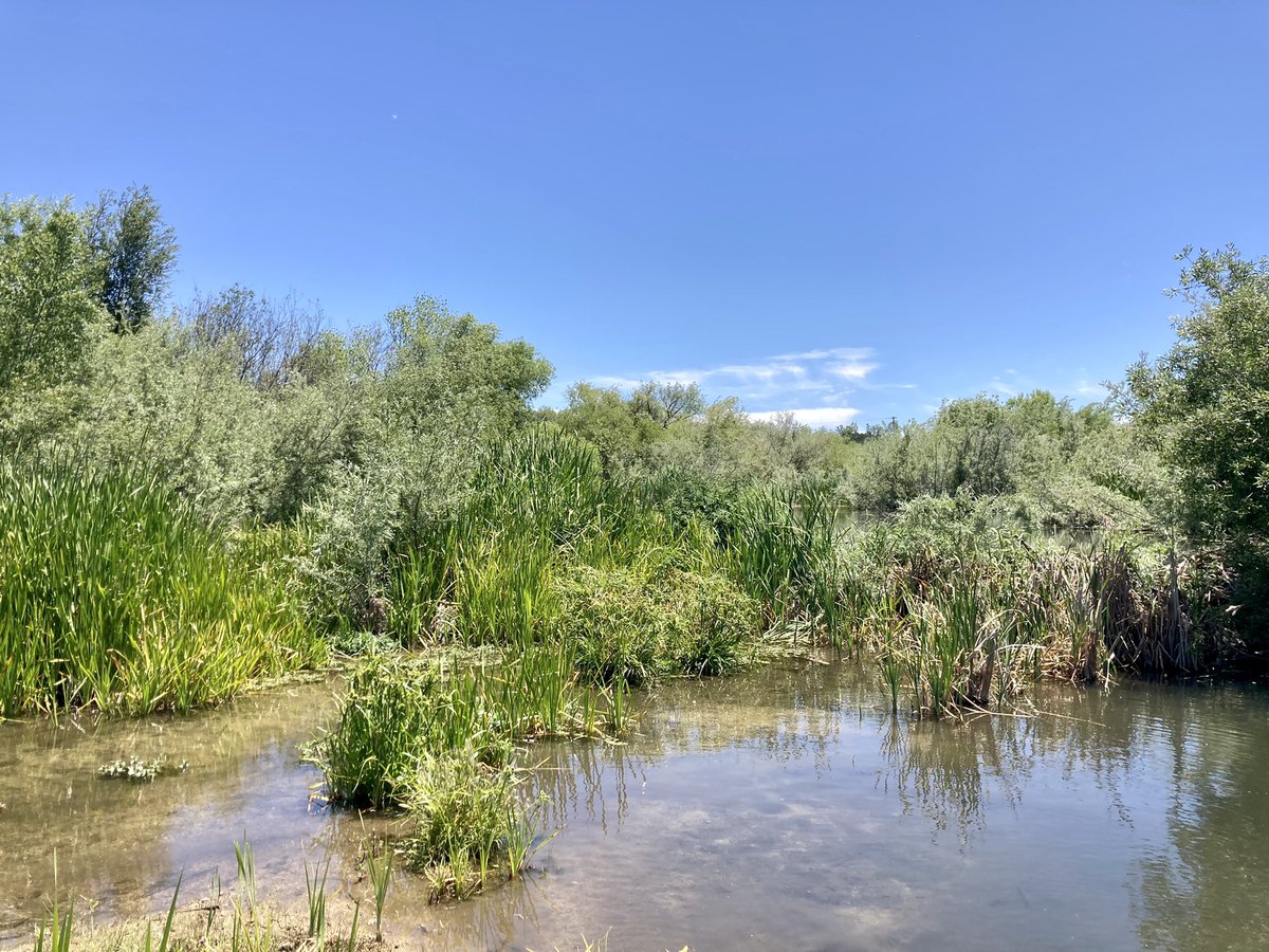
It's incredible seeing the transition from degraded, single-thread streams into expansive beaver-engineered wetlands. And it only took a handful of #beavers to do this. Imagine what the continent and the rivers looked like prior to the Fur Trade, back when beavers were abundant!
The Surface Water and Ocean Topography (SWOT) satellite has separated from its @SpaceX Falcon 9 rocket. SWOT begins #TrackingWorldWater now and will cover the Earth's surface worldwide at least twice every 21 days for at least three years.
Prof. Ryan Bailey was part of this study. The results can be used to explore effects of management strategies on groundwater and agricultural sustainability in similar regions in the face of a changing climate. Read the paper:
The difference in greenness between where the Salinas River has #beavers and where it doesn’t is remarkable.
Beavers make California #riverscapes more complex, which helps protect them from droughts and wildfires. Plenty of water for the plants here!
Thanks, beavs.
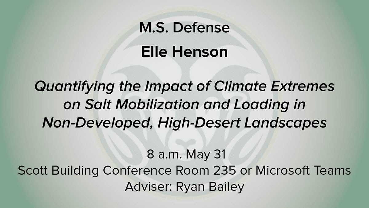
Elle Henson M.S. Defense
"Quantifying the Impact of Climate Extremes on Salt Mobilization and Loading in Non-Developed, High-Desert Landscapes"
8 a.m. May 31
Scott Building Conference Room 235 or Microsoft Teams
Adviser: Ryan Bailey
Lake Powell is shrinking. These photos were taken 9 months apart (Top photo 6/23/21 - Bottom photo 3/27/22) at Lake Powell's Lone Rock Beach in Utah. Water levels at the lake are at their lowest level since the lake was created in 1963 by damming the Colorado River. #drought