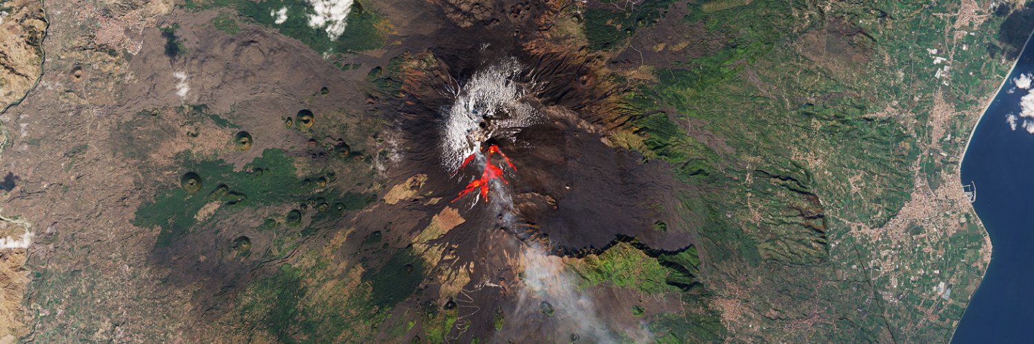
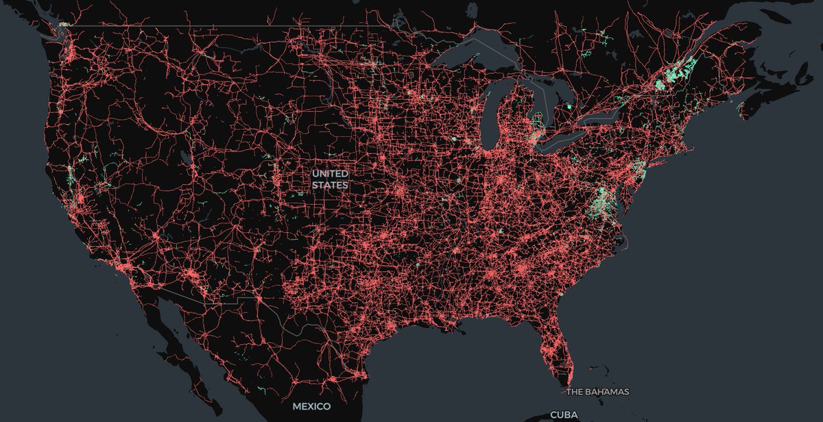
Just published our latest blog on Geospatial Foundation Models - powerful tools that are making satellite imagery more accessible and actionable.
We share our learnings on how these models can accelerate your geospatial applications, from rapid similarity search to streamlined change detection.
Practical insights and implementation guidance:
🛰️https://t.co/n55n1hBLZf
🚀 We’re hiring! Join us as a Technical Project Lead to advance open science in the cloud and help drive impactful NASA projects. Are you a proactive, independent leader with PM experience? Apply today: https://t.co/WVRBM0pkNN
New Python package to easily read/write/etc with object storage (S3, GCS & Azure)!
- Sync & async with streaming responses
- Seamless multipart file uploads
- Simple API & static type checking
- Easy to install with no Python deps
- Built on @rustlang
https://t.co/57fBC3N9DT
Our latest newsletter is now available, summarising recent activities of the Charter: https://t.co/5zCi2CtxeL
Some of the articles in this issue:
- @DLR_en six-month lead
- Charter data contributors
- ALOS-4 data for the Charter
- Feature on the unprecedented flood in Brazil
Lonboard 0.10 is now out!
Animate trajectory data on an interactive map, all from Python!
Also MovingPandas integration, draw bounding boxes on the map, @pyodide support, new ColumnLayer for rendering extruded cylinders, fewer required dependencies https://t.co/jB9PSkxYy2
New blog post in collaboration with @ncclementi on using Ibis + DuckDB + Lonboard for analyzing and visualizing large geospatial data
https://t.co/fx2v4ltQ3P
Le 9 septembre à 12h01 (heure française), la sonde @ESA_JUICE s'est tournée vers la Terre et a pris cette image du couple Terre-Lune avec sa caméra de navigation (NavCam).
Je vais oser être fier de cette photo: c'est moi qui l'ai commandée et je vais vous expliquer pourquoi.
🧵
A collaborative approach is central to how we get things done at Earth Genome & it's a joy to work alongside partners like @developmentseed.
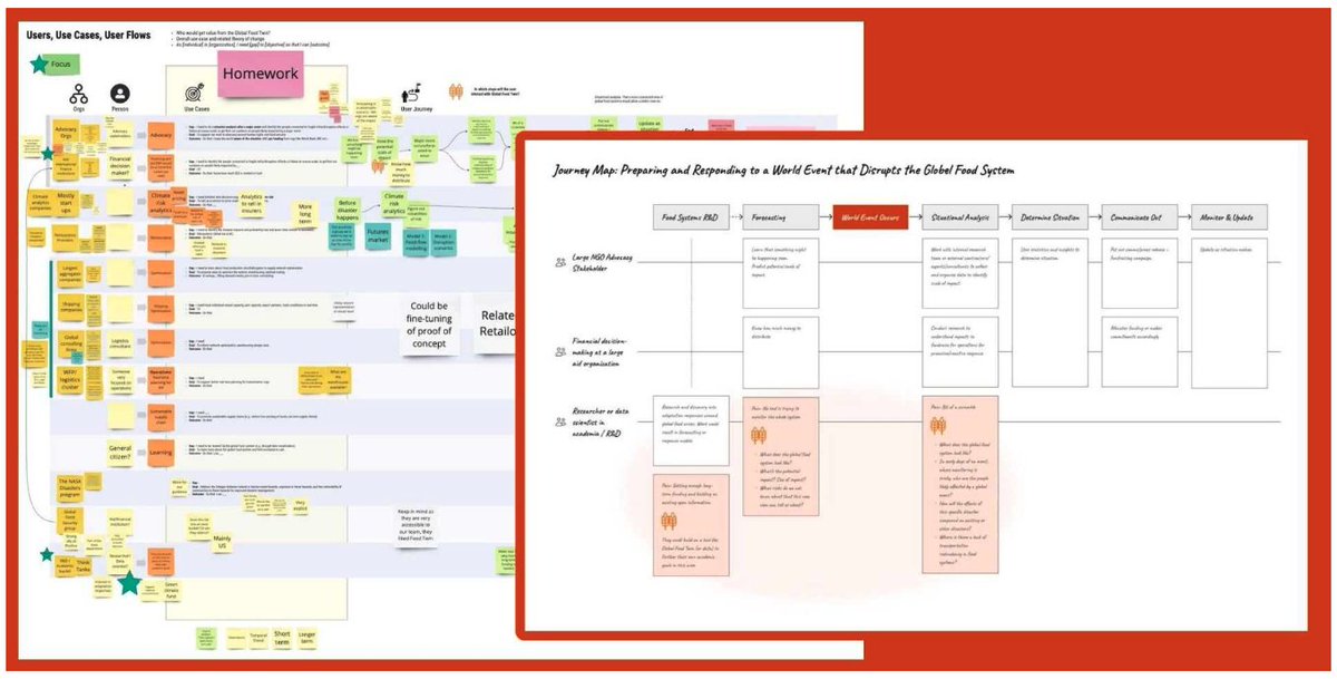
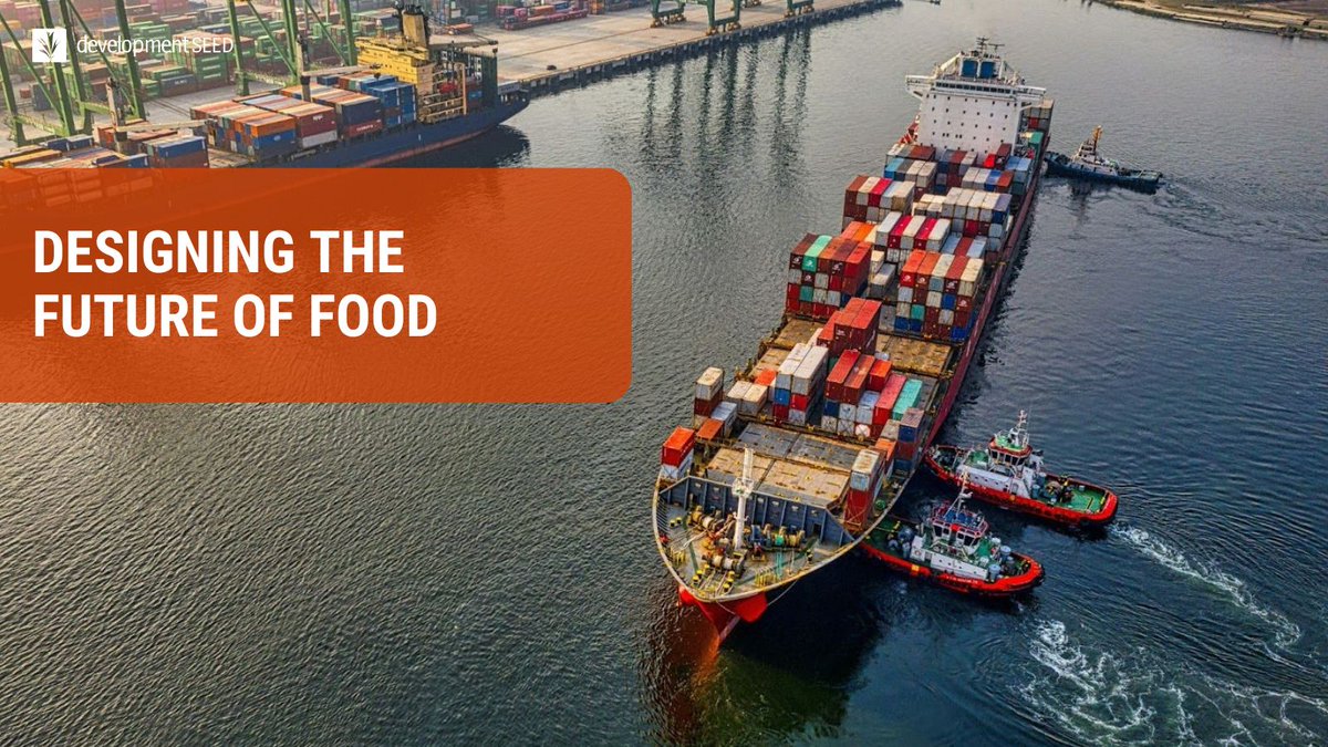
Here's a preview of the Global Food Twin project & the step-by-step design approach before the official launch: https://t.co/cTo4mHjN9K
We teamed up with @EarthGenome and Better Planet Lab (@ZiaMehrabi) to tackle a complex problem: visualizing the global food system.
Our design sprint process gave us new ways to think about data modeling and collaboration. Learn more in our blog: https://t.co/Njg1RmjPtV
Are you a woman in geospatial data science? Don’t miss this opportunity to connect, learn, and grow! Join our webinar series and be inspired by women making a difference.
⚫ Co-organized w/ @geospatialwomen, @developmentseed & @Element84
⚫ Sign up https://t.co/rmbUjgPuII
We'd like to invite you to attend SatCamp in beautiful Boulder, Colorado, from October 1 to 3, 2024. Because of its unique nature, space is very limited. There are still a few spots left that include accommodations. https://t.co/v3Bj2xSllS
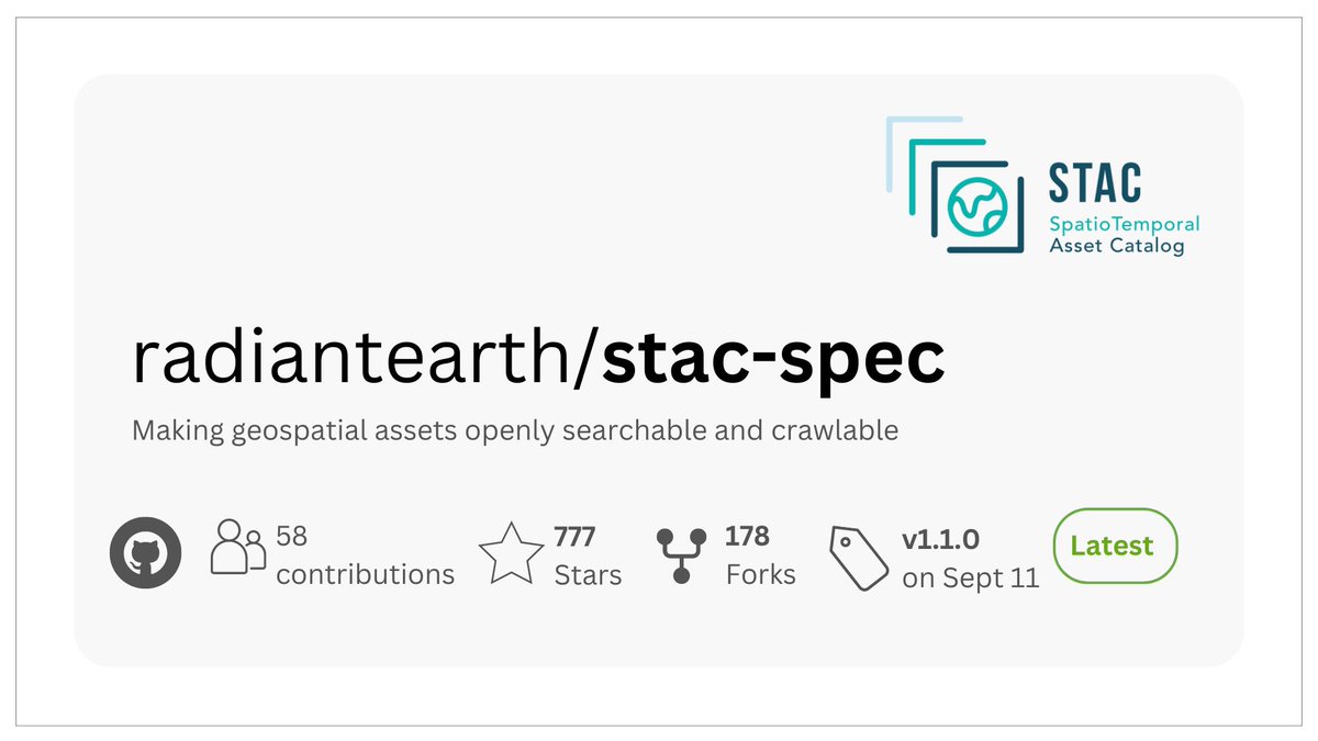
STAC 1.1.0 is here! This version introduces a common band construct, Item Asset Definitions & aligns with some OGC API - Records. It's a big step forward for making geospatial data more accessible. Learn more
https://t.co/YBXA346kc6
Big kudos to @matthmohr and @emmanuelmathot for STAC 1.1.0! 🎉
And do you want to hear something nice? The "eo:common_name" now has a direct mapping to #AwesomeSpectralIndices! 🥳⭐
I published geoarrow-rust v0.3 and updated Python bindings!
- Latest GeoArrow: 3D & GeometryCollection
- Read/write GeoParquet 1.1, including fast bbox reads from spatially-partitioned datasets
- Pyodide support
- Better Arrow interoperability
https://t.co/rQHyWd5Wny
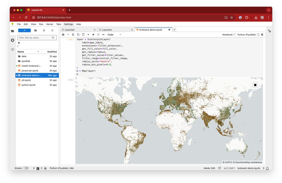
Lonboard & GeoArrow Rust in @ProjectJupyter's JupyterLite, all running in WebAssembly right in your browser! No server required!
Try it out here: https://t.co/RNR6aXtrKL
Let's hear some applause for our first round of hashtag#SatSummit Lisbon speakers 👏 Get your tickets today and hear fresh insights from some of the brightest minds in our industry. 🛰 #satsummit
Tickets available now: https://t.co/Iuy41PSon5