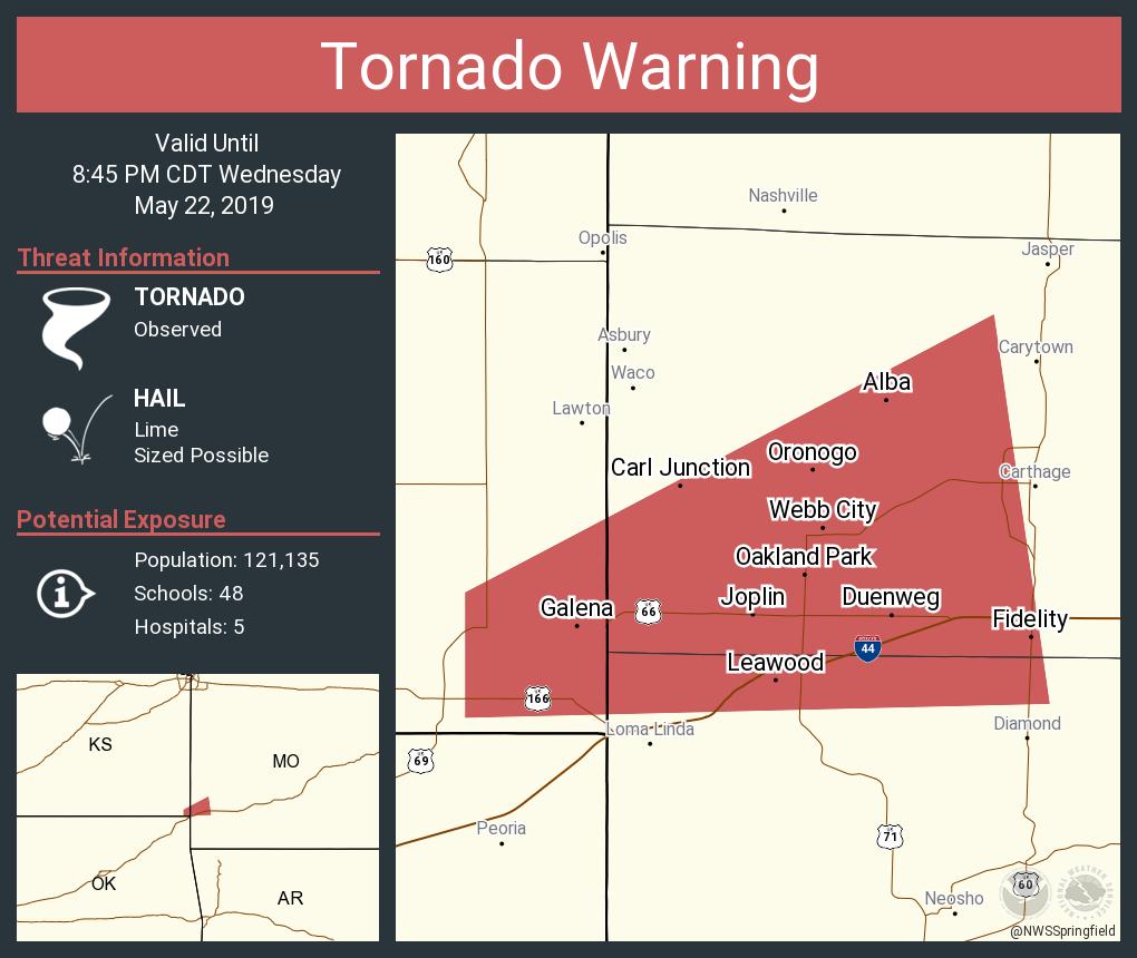
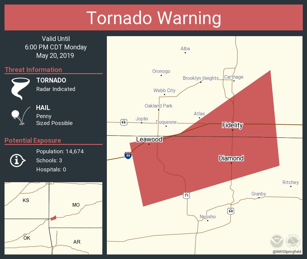
A Tornado Warning has been issued for Cherokee county in SE KS until 7:30 PM.
At 6:42 PM, a severe thunderstorm capable of producing a tornado was located near Columbus, moving NE at 45 mph.
Hazards: Tornado and ping pong size hail
Radar indicated rotation
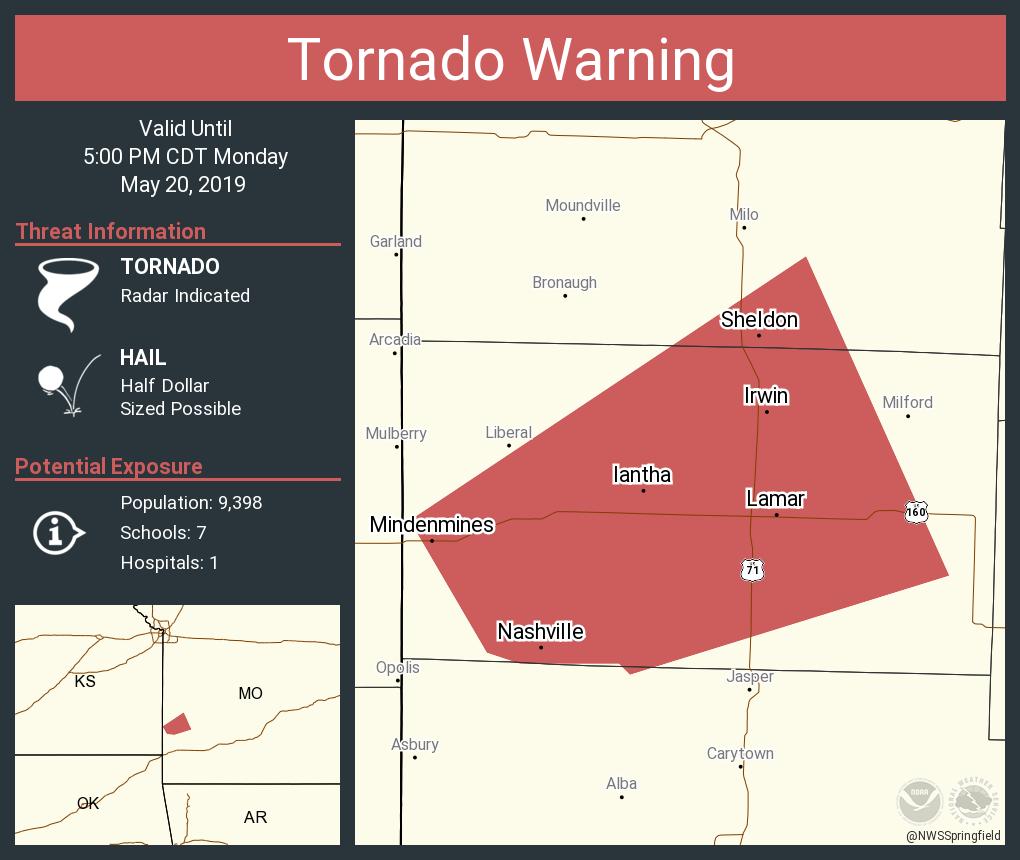
A Tornado Warning has been issued for N Craig and NW Ottawa counties in NE OK until 7:15 PM.
At 6:32 PM, a severe thunderstorm capable of producing a Tornado was located 8 mi NW of White Oak, moving NE at 40 mph.
Hazards: Tornado
Radar indicated rotation
St. Louis tuned in to watch the team advance to its first Stanley Cup Final since 1970. The market delivered a 20.8 rating, NBC Sports’ HIGHEST NHL RATING ON RECORD in St. Louis.
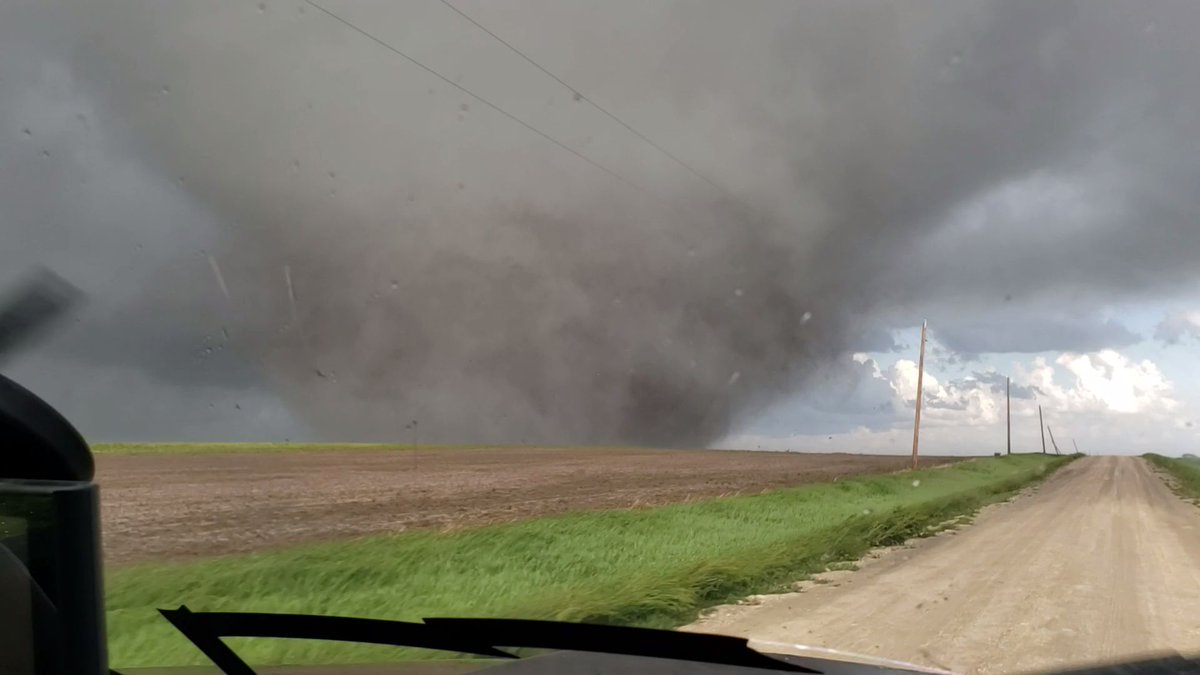
Tornado was reported on the ground 10 minutes ago, 9 miles north of Columbus. This storm is still capable of producing a tornado east of Pittsburg. #kswx
Due to severe flash flooding, many roadways in the city have become impassable. We are seeing flooding in some areas a couple ft above the roadway. Please avoid getting out in this weather if at all possible. JPD & JFD are responding to vehicles becoming disabled in flooded areas