GIS Professionals are actually managing "products" with the apps and maps they create. Next week, join @productboard's free user conference to hear how #productmanagement professionals (including at @Esri) are going about this. #ProfessionalDevelopment
https://t.co/VWM5lRgfSn
Don't miss the 🔥 hottest 🔥 new island in the ring of fire🌋, the Esri Maintenance & Subscriptions Island in the #EsriUC Showcase! Visit us to learn about administering your #ArcGIS and accessing your benefits! #SanDiego
They mentioned all the #opensource integrations on the launch webcast, and Esri's actually a really cool company that has a Commitment to Open. Interested #Developers can read more about it here: https://t.co/I9PhmGVHoh
We’re proud to introduce #ArcGISPlatform, our new PaaS designed to bring powerful mapping and location capabilities to the global developer community.
Learn more about it here: https://t.co/Yh92MdYLUV
Here's the #ArcGIS site built using #ExperienceBuilder with more info on the Sustainable Development Solutions Network #SDSN. YOU can apply these in your communities to help the world move forward against the #SDGs. #EsriUC folks, you also have ArcGIS Open Data & GeoPortal Server
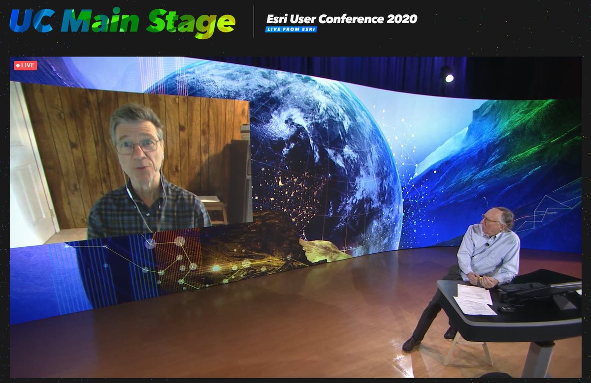
This is the #SDSN#Hub Jeffery Sachs (Advisor to 4 UN Sec Gen) & Jack are talking at #EsriUC about #SDGs Today Global Hub for Real-time #SDG data https://t.co/960ZiiKoky
No organization just sets goals without aligning tactical milestones and methods for achieving them. Sustainable Development Solutions are the way that we can apply #GIS to the #SDGs. Jeffrey Sachs: "Geospatial is a defining feature of every feature of an economy!" #EsriUC
Virtual 2020 Esri User Conference - Plenary Session Day 3: Jack Dangermond with special guest Jeffrey Sachs, President of the UN Sustainable Development Solutions Network, UN SDG Advocate, and Director of the Center for Sustainable Development at Columbia University #AEC#EsriUC
Seems like this #GenGeo that @NatGeo and @Esri are creating are arriving right in time to help us apply #GIS as a framework for managing our planet. Question is where should they start with so many problems to solve! #EsriUC
We also have a new program due to #COVID19 to provide access to individuals who have been #furloughed or fired to provide training access through the #LearnArcGIS lessons Riley just presented: https://t.co/U7uvx7t896 #EsriUC#investinyourself
#EsriUC Vicki Phillips (@NatGeo) and Jack just discussed bringing #spatial into the #classroom. Vicki mentioned #GIS skill-building being a continuum, rather than a spectrum...probably because we're all always learning! Web Training is included with your @Esri Maintenance!
Due to technical issues, closed captioning is currently unavailable on the #EsriUC Virtual platform. For closed captions, please tune into our livestream at https://t.co/3XatCZgCO9. We apologize for the inconvenience.
#ArcGIS#Geocards represent a principal many of us already know--the UI doesn't have to have a map to be spatially aware or informed by #GIS. Part of #ExperienceBuilder, available to all users on Maintenance, they're meant to help you engage new users who aren't familiar w #maps
GeoCards are a new kind of app created in #ArcGIS Experience Builder that bring together maps, StoryMaps, Dashboards, & Infographics as shareable containers of geographic data, to create customized web experiences. Try them here in the #livingatlas https://t.co/XBRia8TU7D #EsriUC
@amber_brooks_ Good feedback. Can't vouch for it, but some1 posted https://t.co/UrNKx7i2zm, then drag the “Toggle Fullscreen Chat” button into your bookmarks/favorites bar. Navigate to your chat page. Click on your new Toggle Fullscreen Chat shortcut to turn on/off the 280+ red flagging.
#EsriUC Jack: "We need a holistic approach to managing our world"....makes sense. Would you let something in your company or organization go completely unmanaged? Crazy to think areas of our community actually aren't until YOU implement #GIS as the framework in your areas.
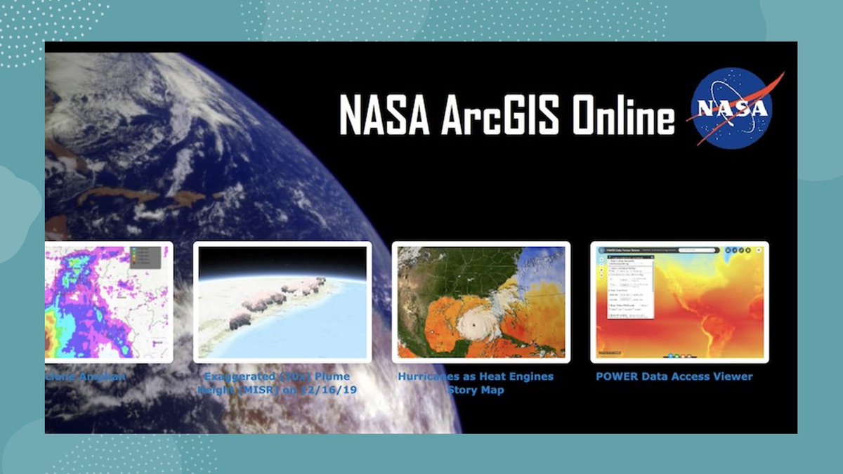
NASA is responding to the growing need to make Earth science data GIS-ready for easy integration and analysis in #GIS programs. Learn about the geospatial tools that enable users to access NASA data with our new GIS Data Pathfinder: https://t.co/MliUEDBwZB, #EsriUC
The #Esri maintenance program keeps you up-to-date on the latest software, skills, security, & support. Watch this 2 min video to see how you can use these benefits to empower your team & organization. Are you using all of the benefits available? https://t.co/rzx2LX2vVw #EsriUC
(Come see us in the Guiding Your Geospatial Journey Neighborhood in the #EsriUC virtual Expo, Maintenance Kiosk) to learn more about how to access it if you're not sure! https://t.co/cEA6D3PHOj
Are you an #ArcMap user, but have been impressed by @ArcGISPro shown at #esriuc? If you've had Maintenance any time since Pro's first release in 2015, you've already got Pro in your My Esri! (YOU ALREADY OWN IT) For current users, you'll have access to Pro 2.6 this month!