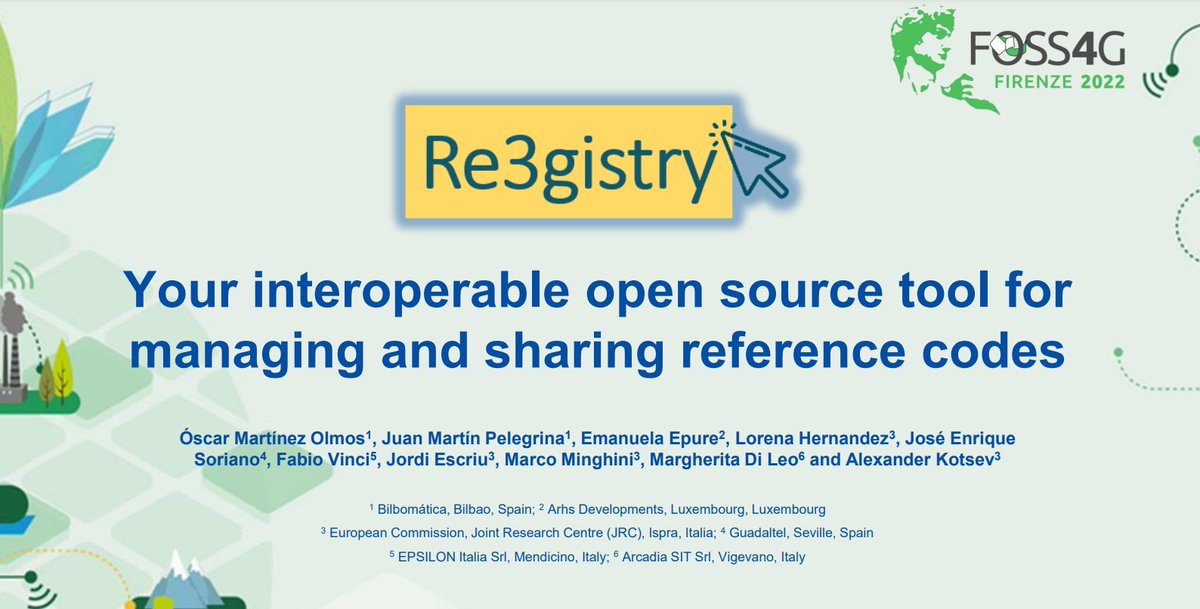
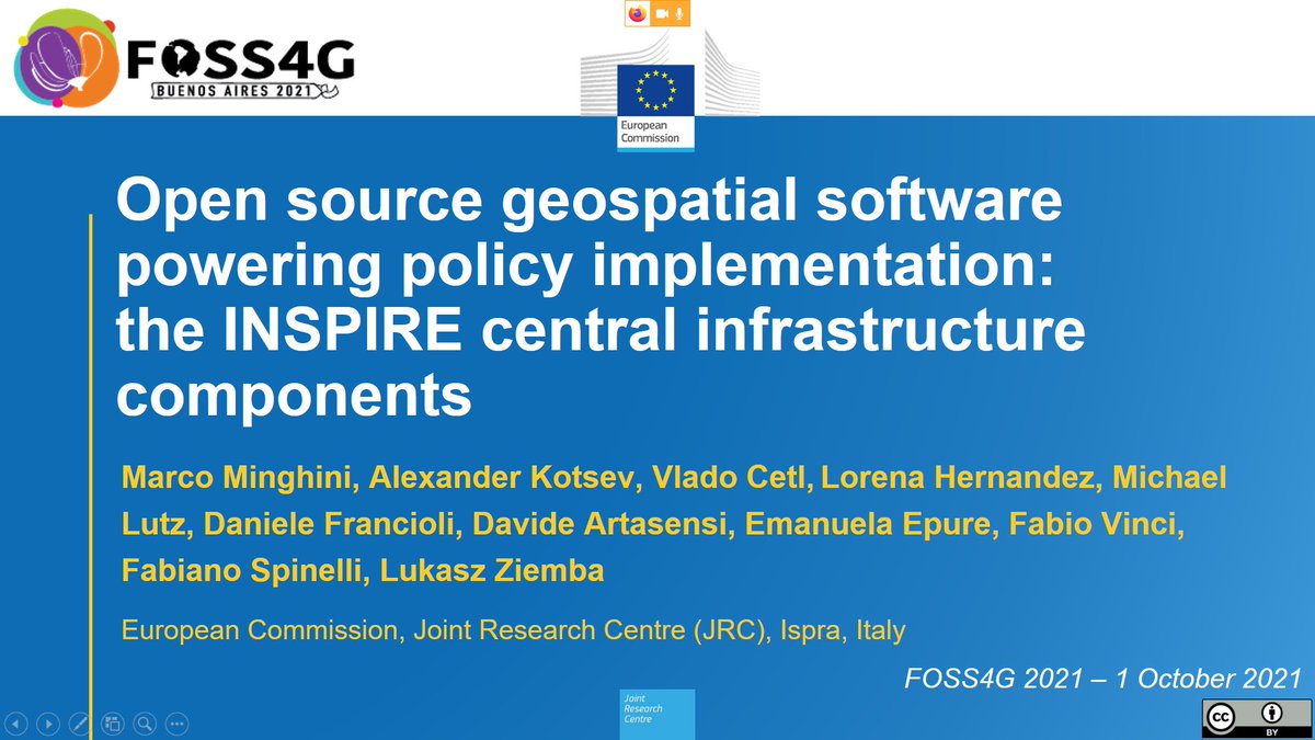
📰The #Re3gistry software was presented during the @foss4g conference.
Its presentation highlighted:
-The reasons for utilising it
-Its progress
-The upcoming functionalities to be developed
📚👉https://t.co/E7R3bGb8bp
@masquesig@JordiEscriu@IGNSpain@geoinfinita@OSGeo
Blog Alert! A new QGIS plugin that allows browsing STAC API catalogs inside QGIS was released. The plugin was developed by Kartoza and sponsored by Microsoft. For more on this awesome plugin, click on the link below
🔗 https://t.co/LK2jSPcqqb
#kartoza
Dati geologici di sottosuolo 3D armonizzati secondo #INSPIRE_EU e condivisi attraverso l’encoding #GeoPackage e #OGCAPI. Giovedì 2 dicembre dalle 9.30 alle 11.30 #ISPRA e #EpsilonItalia presentano i risultati nel workshop #GO_PEG. Registrati qui https://t.co/hyjokEFdWW
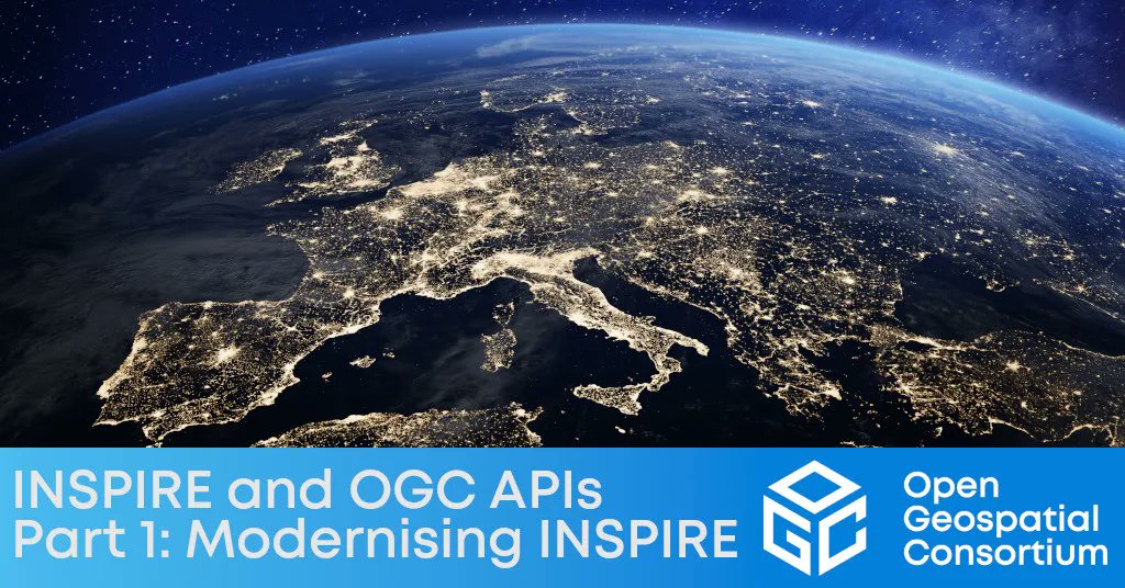
From the OGC Blog: how @INSPIRE_EU is embracing #OGCAPIs as part of the modernization of its technical stack, so that - 14 years after its creation - it continues to provide accessible and interoperable geospatial data to the European community and beyond https://t.co/kEpxlLfurC
Slides of my #FOSS4G2021 talk "Open source geospatial software powering policy implementation: the @INSPIRE_EU central infrastructure components" are available at https://t.co/WghGZfBH1R 🌍🇪🇺
💮The @INSPIRE_EU Reference Validator is getting a 🆕 look that improves its usability❗
Its updates include:
🔵Alignment with the @EU_Commission's visual identity
🔵More user-friendly approach for starting tests & filtering test reports
💡👉https://t.co/Z3amWeDVyb
@rndt_it
📌#bachecaRNDT
"Integrazione tra piattaforma #PELL, #SINFI e database topografici #DBGT: la frontiera più avanzata per la costruzione di #SmartCity e #SmartLand", l'articolo-resoconto del workshop di @ENEAOfficial del 30/01 con @AgidGov
👉Leggi l'avviso: https://t.co/CpMT3LLNGI
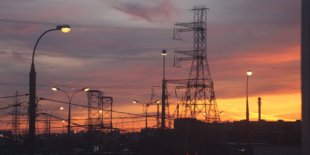
The Elise Energy Pilot Contributes to Provide a
European Perspective of the Benefits of Using Digital Platforms for the
Smart Management of Public Lighting Infrastructures https://t.co/pH97ftQVEV