For the @ITI_Insurtech series 'Meet the Founder', @forbesmckenzie goes on a wide-ranging journey from his time in the Intelligence Corps to becoming a leader in the insurtech space with MIS.
Read about the evolution of MIS and standing up to bullies here: https://t.co/jrSkrPtv7b
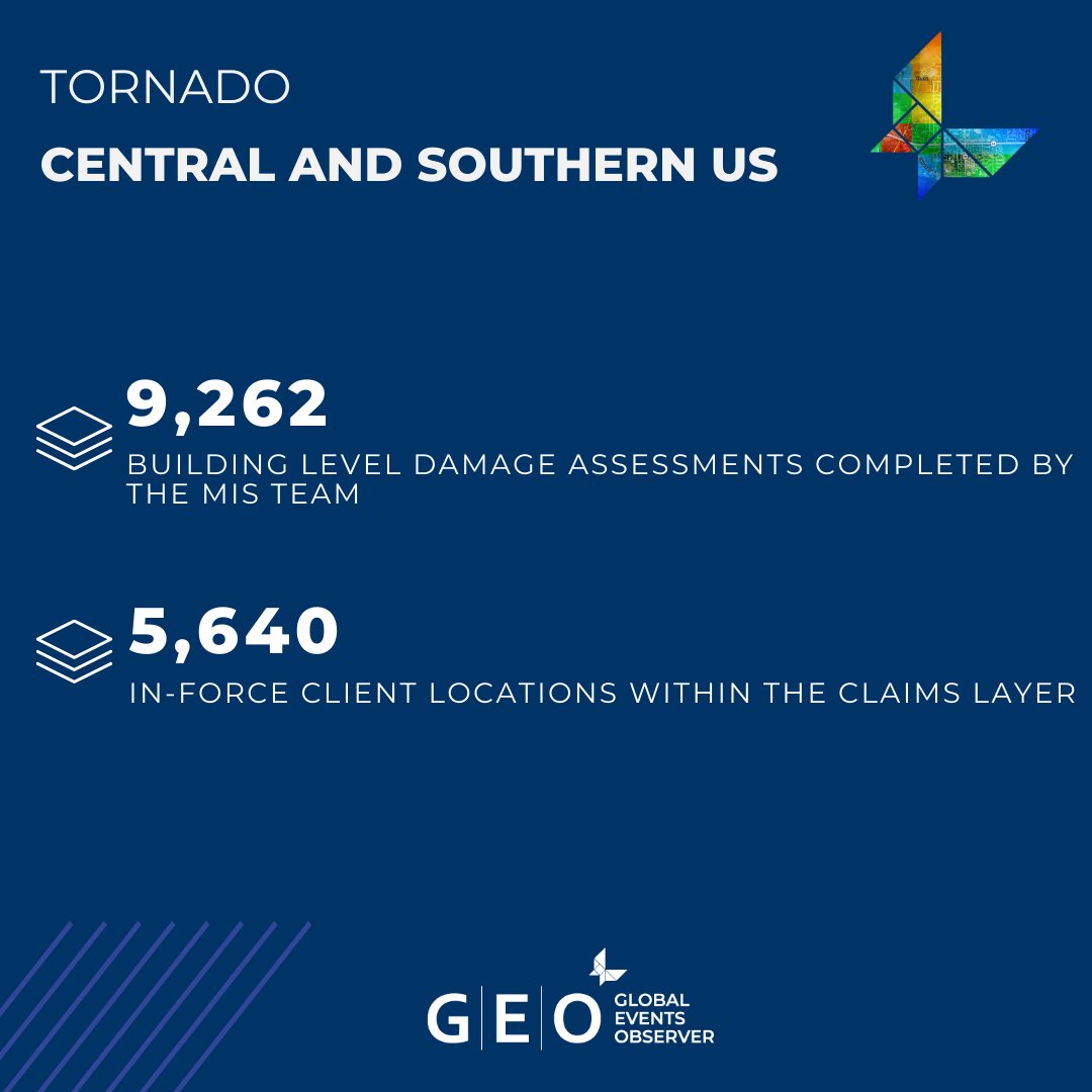
After over two weeks of analysis from the MIS team, the GEO report for the Central and Southern US tornado outbreak is complete.
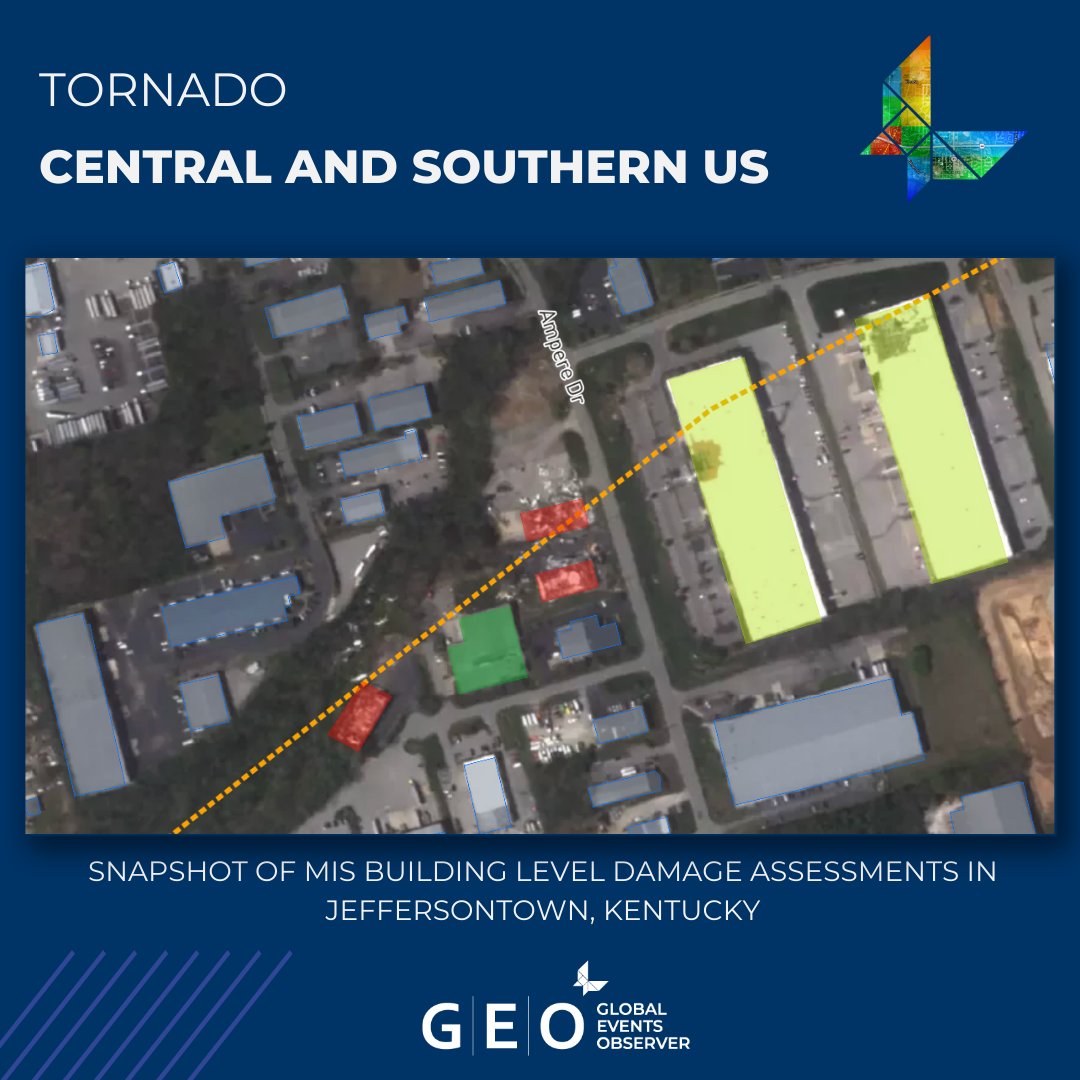
The final update includes Satellite Imagery, Building Level Damage Assessments and a Claims Layer covering Jeffersontown, Kentucky.
The MIS team have made initial assessments of the powerful earthquake which struck Myanmar this morning.
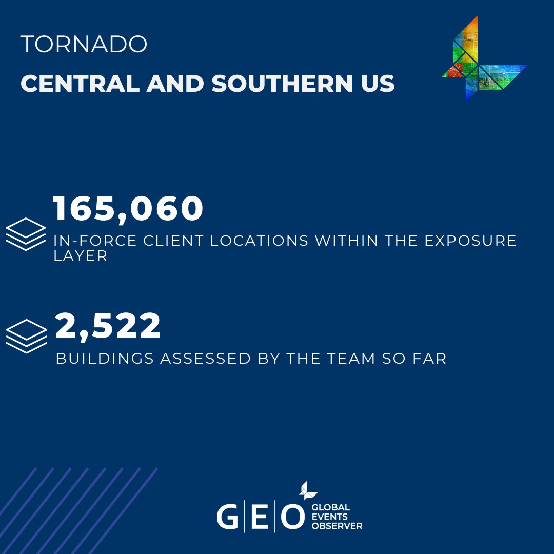
To help clients gain an early understanding of where their in-force policies may be impacted, the team have added an Exposure Layer for this event to GEO.
MIS analysis continues to determine the impact of the tornado outbreak that has affected multiple Central and Southern US states.
To provide details around areas with confirmed damage, the team have added Building Level Damage Assessments to the GEO report.
The MIS team have made further assessments of the major tornado outbreak impacting multiple US states.
To inform clients with the most up-to-date intelligence on where tornadoes have put their in-force portfolios at risk of exposure, the team have added to the GEO report.
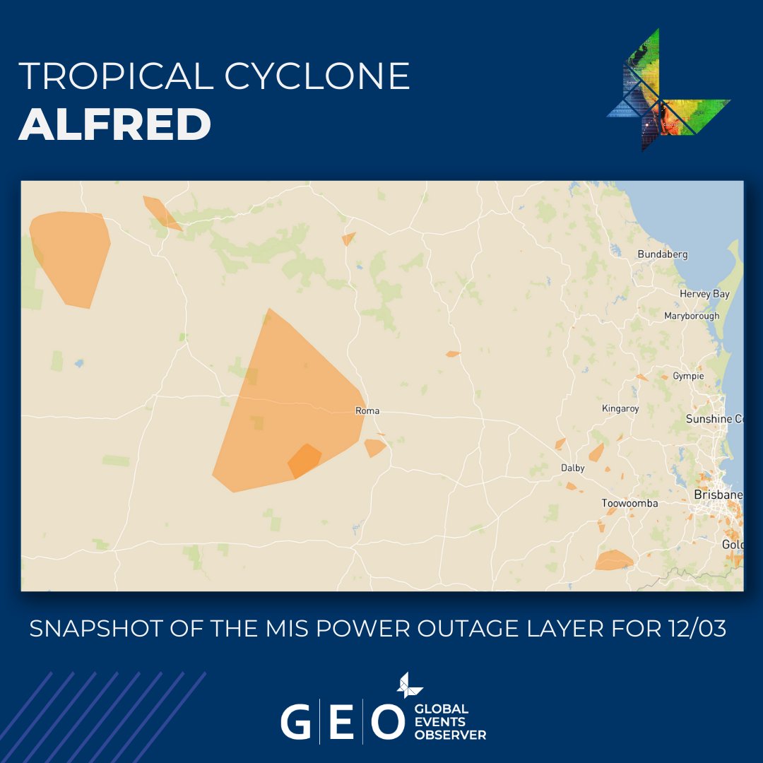
The MIS team continue to assess the fallout from Tropical Cyclone Alfred on Queensland.
To provide clients with further intelligence on where their relevant portfolios may be at risk of exposure to flooding, the team have made more updates to the GEO report.
We're delighted to share that MIS has received 2 nominations for the upcoming @ModInsuranceMag#ModernClaimsAwards25
After 2 wins in 2024, we're honoured to be included amongst the nominees for the 'Innovation of the Year' and 'Supporting the Industry (26+ Employees)' awards!
Assessments continue of Tropical Cyclone Alfred as the team complete more analysis of areas across Queensland affected by the extreme weather.
To support clients with further intelligence around their likely exposure to Alfred, the team have updated the GEO report.
The MIS team has been in California this week to support our partners the California Insurance Emergency Response Association and their members, where we were delighted to have GEO front and centre as CIERA members ran an exercise based on the HayWired earthquake scenario!
Last weekend, MIS featured in an @nytimes article about a potential Russian drone attack on Chernobyl.
The MIS Investigations team made assessments and shared their findings, seen in the pictures below.
Learn more about MIS Investigations services here: https://t.co/m9eiLwPIw2
In @TechRoundUK - today I comment on AI & what scale ups need to succeed “The opportunity is huge – but success depends on understanding that AI itself isn’t the product, it’s the enabler.” https://t.co/X14P0vSumb
Our commentary in todays @nytimes. “initial analysis by @McKenzie_Int … said video footage showed some minor internal damage to the facility.
https://t.co/PDyASEsI2Y
Whilst we often use 7.5cm Aerial imagery - 40cm multispectral Sattelite imagery more than delivers the contracted client “Understanding” at scale. Each analysed building footprint or GeoJSON - provides an automated return into our clients policey insights page on our product #GEO
In this latest clip from our LA wildfires briefing, MIS Intelligence Manager David Heathcote dissects our ~57,000 building level assessments, overlaid on @Maxar 40cm satellite imagery.
To unlock the full video briefing for this devastating event, head to https://t.co/eZnlIiF4de
Welldone! @McKenzie_Int to now the official NATCAT partner to the Californian Insurance Emergency Response Association. The recent #CaliWildfires highlighted where our deep value lies. #ProudToServe we are ready to respond to all potential NATCATs - including #Earthquake
We are delighted to announce that we have agreed an initial one-year partnership with CIERA to help enhance the insurance industry's response to catastrophic events in the state.
Read the full press release on our website: https://t.co/tfsAvmyz12
When natural disasters strike, our customer @McKenzie_Int leaned on GitLab to cut their insurance data delivery time from months to 72 hours—helping people get aid faster.
Key wins:
⚡️ 40% faster deployments
💸 25% tech budget saved
✔️ Seamless compliance across global markets
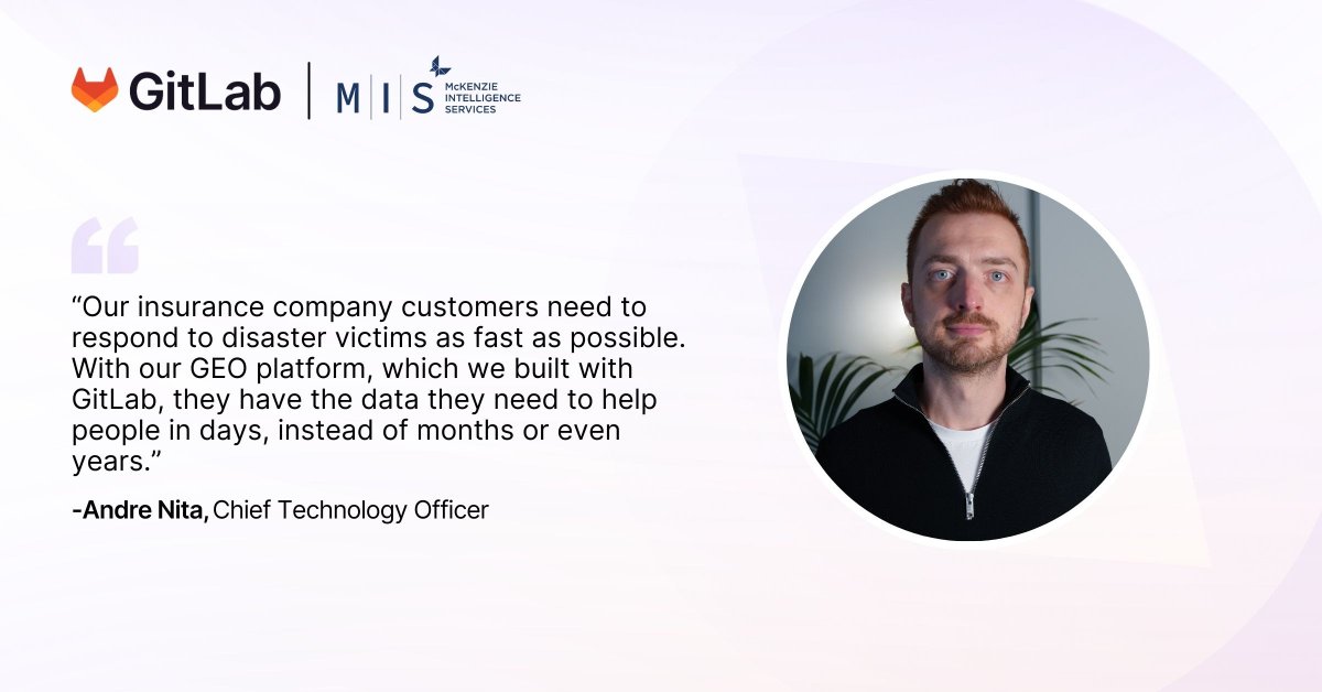
We've collaborated with @gitlab for a detailed, insightful case study about our partnership.
MIS CTO Andrei Nita highlights how GitLab enables us to constantly improve the GEO platform, critically saving both time and money without sacrificing quality.
https://t.co/BIwnKVOSam
On 07 January 2025, several wildfires broke out in northern Los Angeles county, exploding in size due to swirling winds. Learn more in the attached video link.
https://t.co/1xPImf98lq
Our friends at @planet discussing the use of Satellite data to assist in the understanding of the recent catastrophic Cali Wildfires. @McKenzie_Int is referenced as we add the value to the Insurers. https://t.co/CVnmEQ6eO1
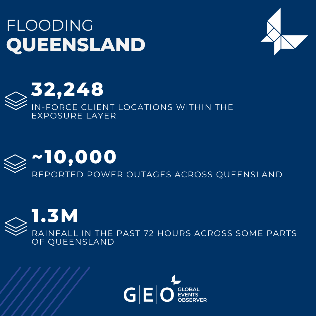
The MIS team have made early assessments of the major flooding in Queensland, Australia.
To inform clients how their relevant portfolios in Queensland may be at risk of being affected, the team have produced an initial Exposure Layer on GEO, depicting potentially flooded areas.
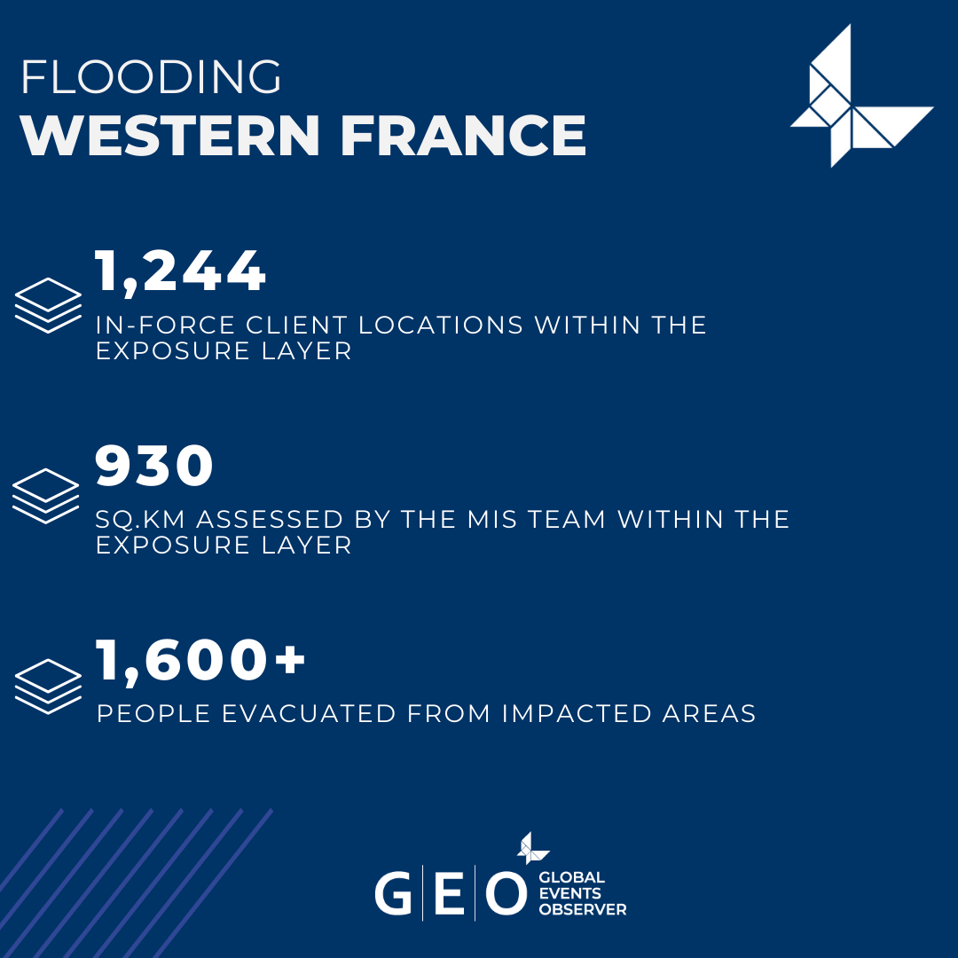
The MIS team have made assessments of the flooding that has affected areas across western France.
To inform clients with initial intelligence on where their in-force locations may be at risk of being impacted by the flooding, the team have released an Exposure Layer on GEO.