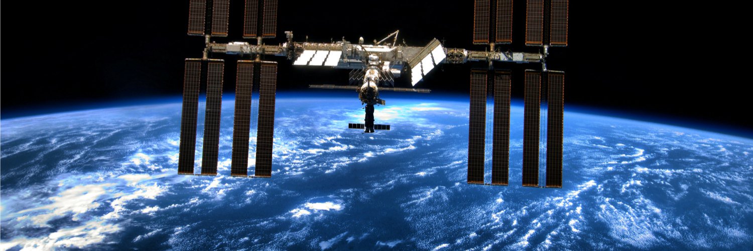
NASA/UMD's Global Ecosystem Dynamics Investigation is a lidar mission on the ISS mapping forest structure. Account managed by UMD. Tweet/retweet ≠ endorsement
Drum roll please... #gedih3 is officially released!🎉
gedih3 turn billions of NASA GEDI LiDAR footprints into analysis-ready spatial datasets — from the command line or Python.
Learn more here https://t.co/0wiuGR0bSl and access the source code at https://t.co/mDH76sigF1 !
Global and boreal estimates of woody aboveground biomass for 2020: Filling GEDI'S northern data gap with ICESat-2 and harmonized Landsat Sentinel-2
https://t.co/cSMqZKUEG2
Version 2.0 of the #GEDI L4C Global Waveform Structural Complexity Index (WSCI) Fusion Product has been released via the @ORNLDAAC !
https://t.co/htuUpA5CO0
Tracking savanna vegetation structure in South Africa by extension of GEDI canopy metrics with Landsat, Sentinel-2, and PALSAR
Congrats to #GEDI Competed Science Team member @JodyVogeler!
https://t.co/CfvOndMwRs
"EDGE builds on decades of collaboration between UMD and Goddard. Its observations complement and extend those from previous NASA missions, including the UMD-led #GEDI"
https://t.co/vNkjEDyr6p
Big news! Two next-gen Earth missions are moving forward in development that will deliver lifesaving data for disaster response & help us better understand our planet.
🌎 STRIVE: High-res atmospheric data for better forecasts & ozone recovery tracking.
❄️ EDGE: 3D mapping of ecosystems, glaciers & sea ice.
🔗 https://t.co/3ulvZhTEiO
NASA Earthdata highlights the new #GEDI Level 4D Imputed Waveforms dataset, which provides spatially continuous estimates of GEDI waveforms at a 30-m resolution across the global land surface.
@NASAEarth@umdgeography
https://t.co/Fxv39Mgdei
Have you read the newest #GEDI article published in Dec 2025? Check it out below! ⬇️
Scalable deep fusion of spaceborne lidar and synthetic aperture radar for global forest structural complexity mapping
@umdgeography https://t.co/NUTXLUWixE
EDGE Mission Reaches Key Milestones as Scientific Momentum Builds
We chat #EDGE, #GEDI, and how the proposed mission will fill gaps and create new opportunities in Earth observation.
@umdgeography@bsosumd
https://t.co/228cETMLHh
🚨Version 2.0 of the #GEDI L4D Imputed Waveforms product is now available via the @ORNLDAAC, covering April 2019-March 2023!
This product provides a 30-m spatial elaboration of GEDI footprint-level L2A V2.0, L2B V.0, and L4A V2.1 products.
https://t.co/rP8R4ojoR2
Heading to #AGU25 this year and want to make sure you catch #GEDI-related talks and posters? Check out this spreadsheet that contains presentation and session info. 🚀🌎✨
@umdgeography@theAGU
https://t.co/3dTPWmEgom
GEDI Competed Science Team member Jody Vogeler leads a project investigating how the fusion of #GEDI, #Landsat and #ALOS data helps us understand the impacts of rewilding on the Greater Kruger region in South Africa.
@NASAEarth@NREL_EcoPress
https://t.co/WKhdvcwfxV
🥳 #GEDI L2A and L4A are in the top 10 #NASA Earthdata data products in FY2024, with over 4.7 million GBs and over 8.1 million files distributed by volume in total.
@NASAEarth@umdgeography
https://t.co/1xhT7f14wD
Legacies of model initialization on predictions of future ecosystem dynamics in California's Sierra Nevada: insights from #GEDI@NewPhyt
https://t.co/IpD8fQ2ja2