@YouTube Selamat menonton semua! 🇮🇩🇲🇾
One of our users in put together a video showing how to sign up, check the imagery of the #NICFISatelliteDataProgram in @planet Explorer, @googleearth#GEE and @qgis.
Basically a whole training under 9minutes! 🤯
https://t.co/n1rZB1vGcP
The map and the user interface shouldn’t be two different things. Data should do the talking. @tjukanov He’s not a fan of dashboards (today he calls them platforms). #LCLSummit
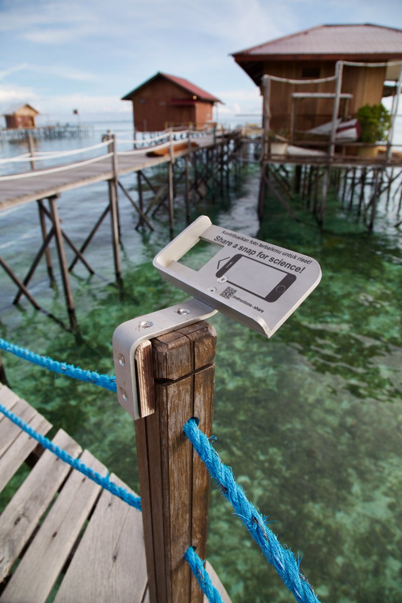
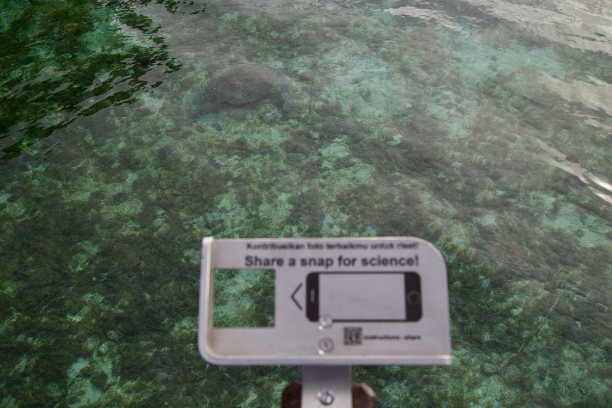
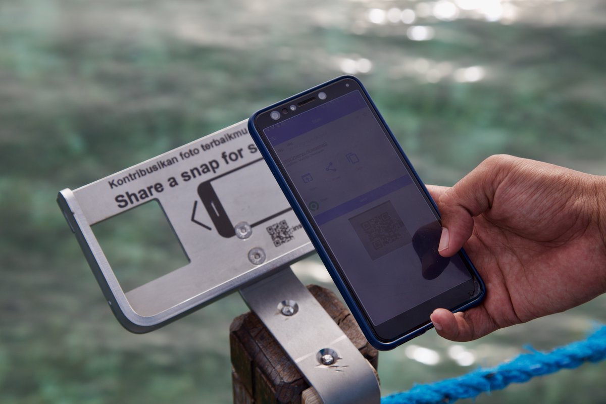
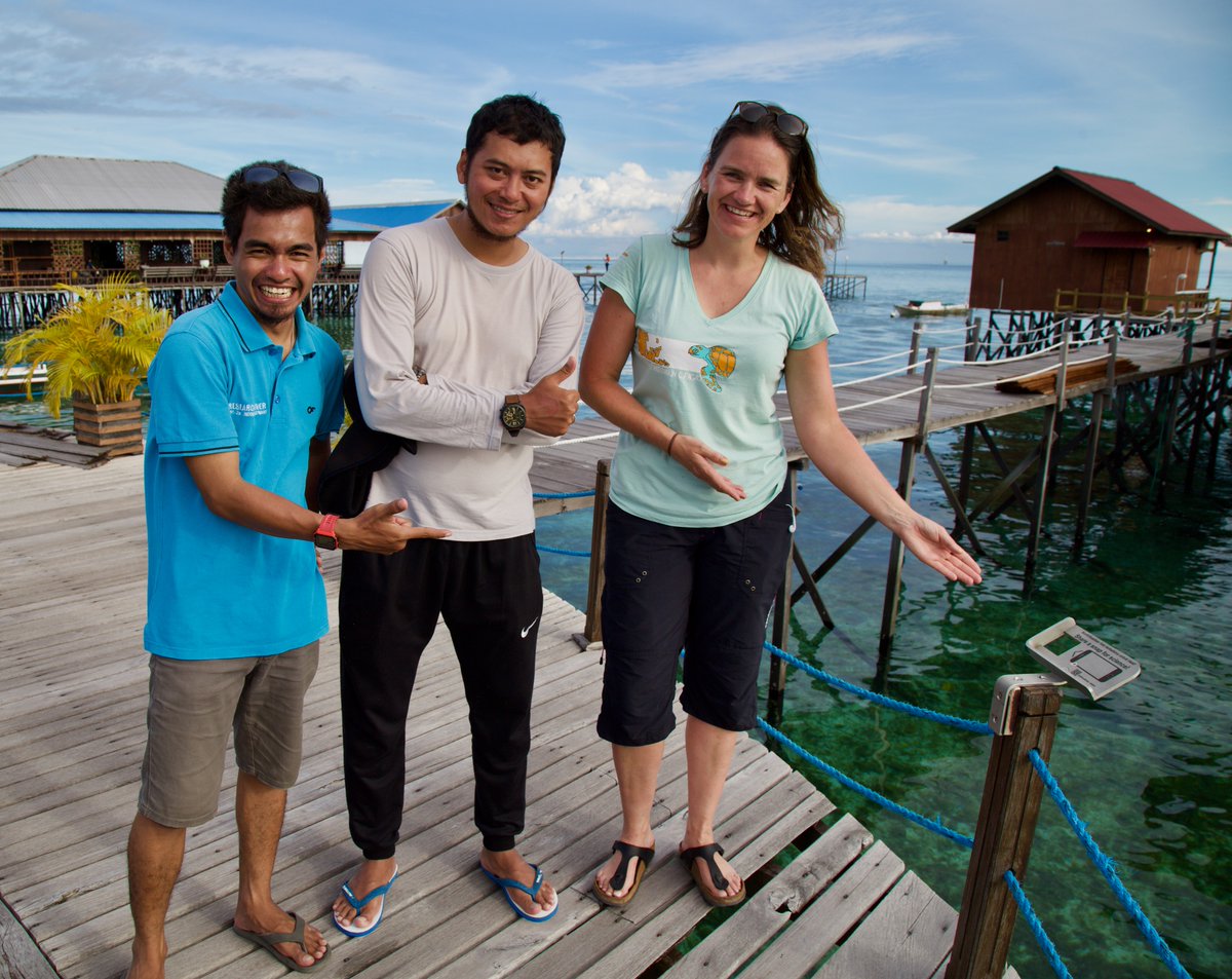
Our first #SEASNAP frames are installed on the islands of #Derawan and Maratua in Indonesia. From these frames citizen scientists can make photos that help capture the change in #seagrass (& the occasional passing #turtle -> photo) with Prama & Hafizt Info https://t.co/rzWNn9Wd2K
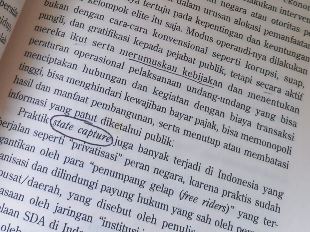
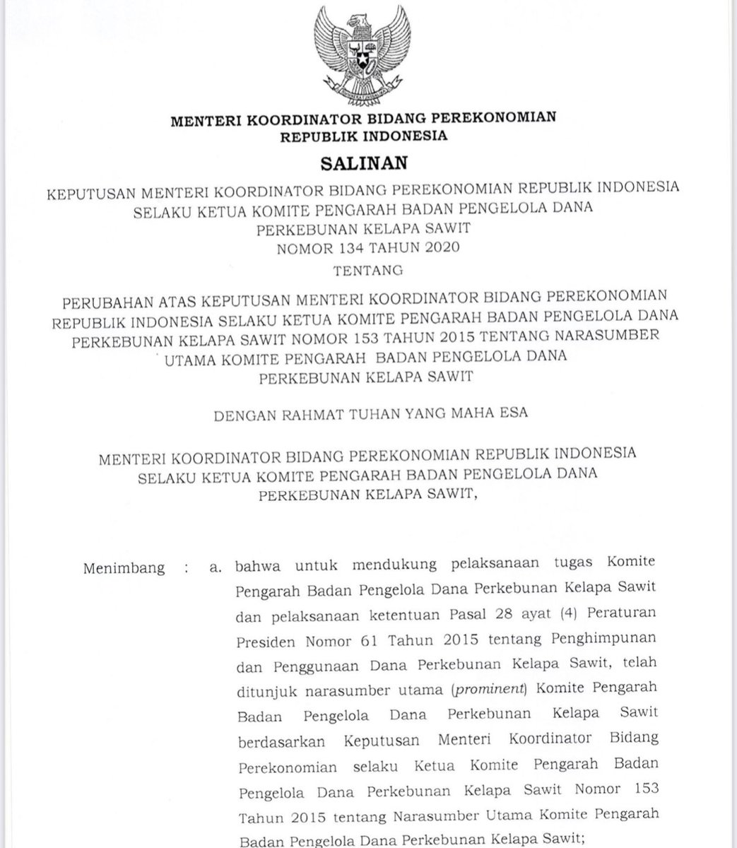
Pendiri Wilmar, Martua Sitorus alias Thio Seeng Haap,ada diKomite Pengarah Badan Dana Sawit sbg Narsum Utama berdasarkan PermenkoEko,134/020
Peran Komite: membuat kebijakan aliran dana untuk biodiesel dan Minyak Goreng skrg.
Wilmar sejak 2016-21; dapat subsidi biodisel 39,52 T
The 👇 is precisely what the @BZgeo admin was talking about yesterday when he spoke about #SciComm becoming "Science Community Building" and not mere "science communication." Many tnx too to @KelMarkert, @Gena_D, @Keiko_geo's responses to @VeronicaAndreo.
https://t.co/AtpPrRW1ai
Different map projections distort the surface of Earth in different ways – which means that a square on a map is not always a square in real life! https://t.co/nCWnC2WqVm
#DYK that #Landsat#Collection2 will include global Surface Reflectance AND Surface Temperature science products? You can download sample products at https://t.co/ZI9S3j7OaP. 🧐
Contact [email protected] with feedback or questions!