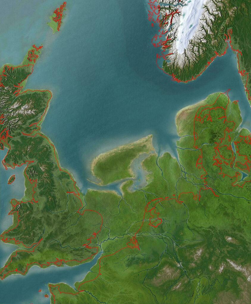
Doggerland 8000 b.c.
Maps like this amaze me
One land mass from Britain to continental Europe
Everything we think is fixed in imperceptibly changing
What dramatic changes will we see in 8000 years time?
h/t @AddictMap#geography
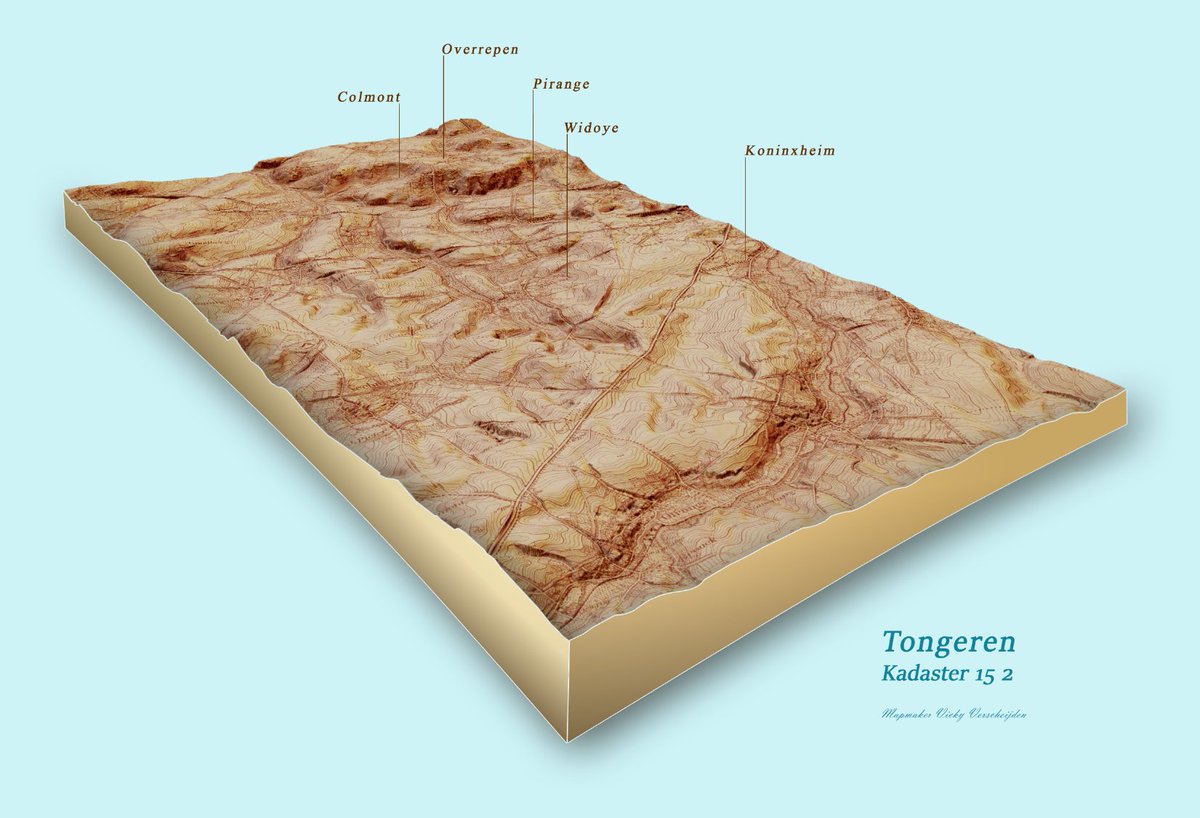
My colleagues from the archive were impressed by yesterday's map. So here's the answer to their question: 3d model from a old military topographic map. #WorkInProgress#gischat@stadtongeren
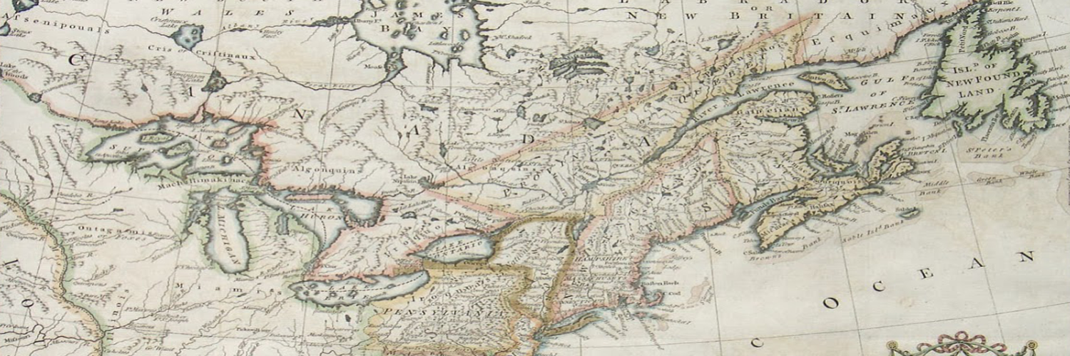
Check out this map from 1558 showing the Americas with the north eastern portion labeled Francisca, after Giovanni di Verrazzano’s 1524 voyage. An island off the coast of Francisca, Corterati, likely corresponds to present-day Newfoundland.
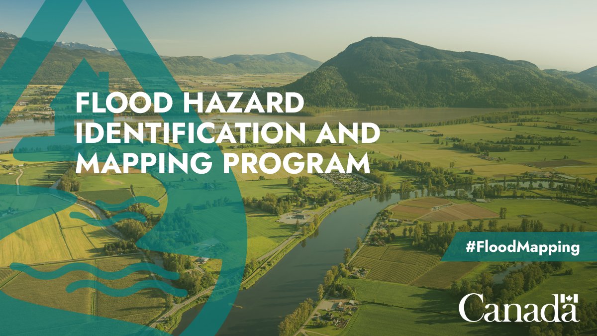
#DYK the Flood Hazard Identification and Mapping Program, in collaboration with provinces and territories, creates flood hazard maps for higher-risk areas throughout Canada?
We've just open sourced the code behind PEARL, our platform that allows you to do fast AI-based land classification without writing a line of code. We hope this code will accelerate responsible efforts to monitor our planet and address climate change 🧵
https://t.co/kBAEOwucmI
1920 Indexed guide map of the city of Vancouver and suburbs with streets, lot numbers, parks, reserves, City Hall, railway, streetcar lines, steamship docks, ferry routes & more
https://t.co/hVbL24c0fY
#geography#history#cartography
Ministry of Forests, Lands, Natural Resource Operations and Rural Development
Victoria is looking for a Geomatics / Geodetic Specialist https://t.co/LRt0FwGZbp #geojob#gisjob#geomatics