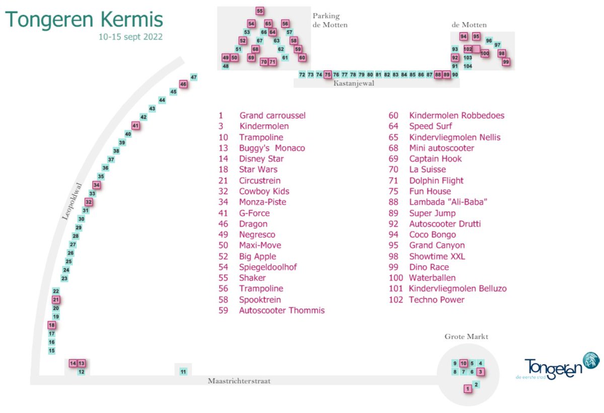
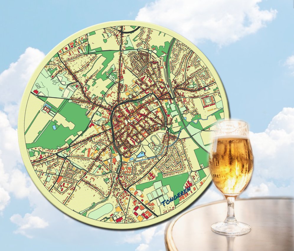
September is kermismaand 🎡in Tongeren. Op maandag 12 september toveren de kermis om tot een heus pretpark. Polsbandjesdag! Van 16u tot 21u kun je onbeperkt gebruik maken van maar liefst 37 bewegende attracties en dit voor maar slechts 20 euro ! https://t.co/xmg6g3kJGK
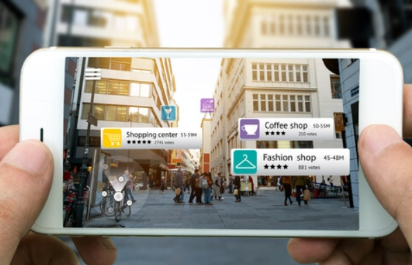
AR and GIS ! Yes, I want to be able to do this. How do I get started? Does anyone have experience or a step-by-step plan? AR on the street outside is ok, doesn't have to be inside. (I am quickly satisfied ) 😉https://t.co/BeESDaCq0H
@LieLauwers @avilarenata Data huishouding in orde? Bulk- upload mogelijk. Het heeft zo zijn voordelen 😉 Is dit een overtuigend argument om te beginnen met het structureren van de data ? #OSLO
Easter weekend is blossom 🌸weekend in Haspengouw. They look beautiful! Blossom and hiking🚶♀️🚶♂️ maps can be found at https://t.co/fkkCmLPfA9 @stadtongeren Happy Easter 🐣
GIS & AR part2 #gischat Here is a way of proceeding: 𝐎𝐒𝐌 𝐭𝐨 𝐐𝐆𝐈𝐒 𝐭𝐨 𝐀𝐫𝐜𝐆𝐈𝐒 𝐭𝐨 𝐂𝐢𝐭𝐲 𝐄𝐧𝐠𝐢𝐧𝐞 𝐭𝐨 𝐔𝐧𝐢𝐭𝐲 𝐓𝐮𝐭𝐨𝐫𝐢𝐚𝐥 Does anyone know how to get the job done without @Esri 's @CityEngine? $£€ https://t.co/W8SgW0QBez @Dragons8mycat
GIS & AR ❓ #gischat: Is there anyone who processes GIS and augmented reality together? Yes!?😀
What did you make and how do you proceed? #WorkInProgress#GIS@gischatbot
@JirkaPanek@Dragons8mycat@gischatbot@Mapbox@qgis@Esri3D@unitygames@UnrealEngine@Vuforia Pure GIS would be the ultimate. I played around with esrilab tool augeo. And I wondered if I easily can make something like that myself outside esri. So GIS and AR. But I don't know where to start. Does anyone have some experience with this? I'm not a programmer.
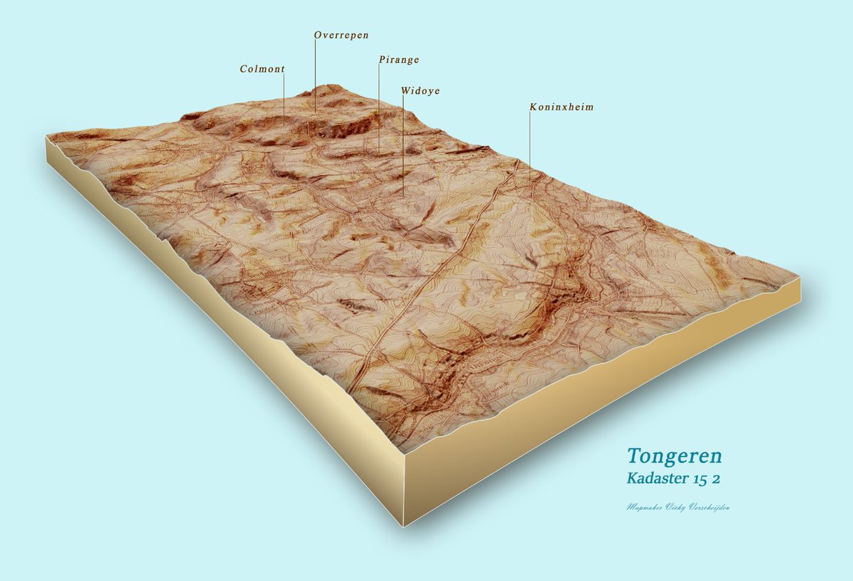
My colleagues from the archive were impressed by yesterday's map. So here's the answer to their question: 3d model from a old military topographic map. #WorkInProgress#gischat@stadtongeren