⭐️⭐️⭐️⭐️⭐️
Very Impressive App Brought In By IGAPP
"This is a VERY powerful GEOINT data collection tool."
A review for Touch GIS on the IGAPP App Store. If you're a credentialed fed gov employee you can get TGIS free!
https://t.co/EMUUjaUZmf
#geoint#geo#gis
Do you do fieldwork/mapping as a federal gov employee? Did you know you can get professional-grade mapping apps at no cost (Touch GIS, Avenza, etc)? Now you do 🙂
https://t.co/iR9yKX7qoz
#GEOINT#geo#mapping#fieldwork
What better time to explore new field mapping software than the offseason? Try Touch GIS for iPhone & iPad free today: https://t.co/hLMhng56jK
#geo#fieldwork#maps#mapping#gis#geoint
If you're a US Federal Employee and do field work (digital mapping) you need to know about the FREE resources available to you on the GEOINT App Store: https://t.co/K2J3vySYMq
#gis#mapping#digitalmapping#geo#geoint
Touch GIS Update 1.3.4 - now available as a free upgrade for credentialed US Fed Gov employees on the @NGA_GEOINT App Store.
Lots of great updates - get it today!
https://t.co/K2J3vySYMq
#geoint#geo#gis
FREE RESOURCE ALERT: If you're a federal gov employee, there's a wealth of FREE geospatial apps available to you. Save money, collect field data in style. Explore the NGA's GEOINT App Store today!
https://t.co/K2J3vySYMq
#geoint#gis#maps#mapping#geo#geospatial
Field mapping as a federal employee? Check out our June round up of mobile apps available on the GEOINT App Store: https://t.co/fvc4loG9JH
Have you accessed the GEOINT App Store yet? We'd love to hear about your experience.
#gis#mapping#maps#geo#geology#fieldwork
Field mapping as a federal employee? Check out our June round up of mobile apps available on the GEOINT App Store: https://t.co/fvc4loG9JH
Have you accessed the GEOINT App Store yet? We'd love to hear about your experience.
#gis#mapping#maps#geo#geology#fieldwork
GIS Professional working for the Federal Gov? Are you aware of the amazing resource for free access to mobile GEOINT app? You should be!
https://t.co/Th50IUya5w
Touch GIS 1.3 is now available. See what's new, including a clinometer tool for easy dip & strike measurements, on our documentation site: https://t.co/DXhtI58kpd
#geo#gis#maps#mapping#mobilemapping#geoint
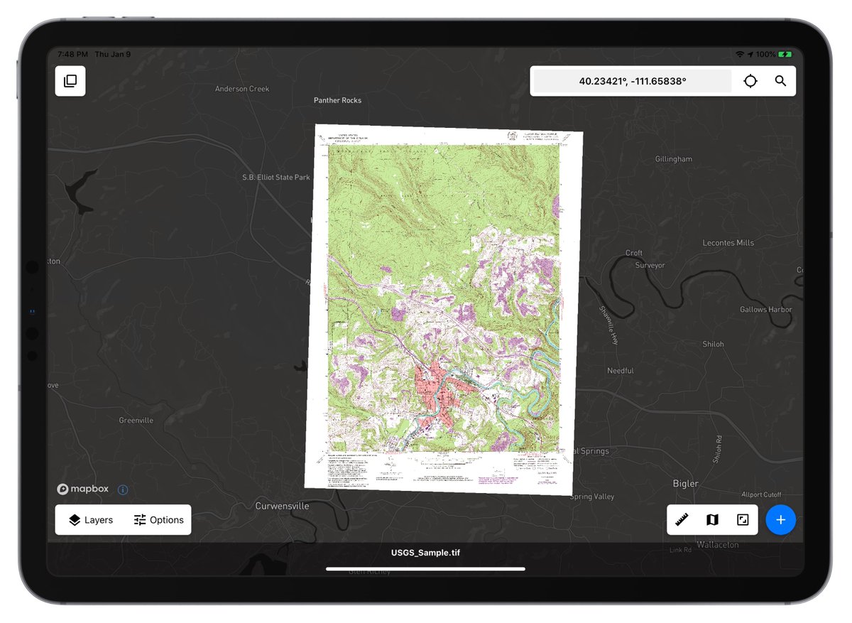
The ability to place raster map imagery over a tiled base map source can be invaluable when collecting geo field data. Touch GIS has a system that lets you accurately place any imagery. Learn more: https://t.co/Ub9vooPDkj
#gis#geo#geoint#fieldwork#maps#mapping#cartography
The iPhone & iPad are perfect devices for field data collection and mapping. But you still need to prepare before working off grid. Learn about caching maps for offline use here: https://t.co/Flg5C5dn77
#gis#fieldwork#maps#mapping#geo#geoint
Have questions about adopting a mobile solution for field data collection & mapping? Schedule a 20 min meeting with a member of our development team. We'd love to talk about your specific needs.
https://t.co/dCKIaTeOMr
#gis#mobilemaps#maps#mapping#geo#geoint#touchgis