This is the official FIji GIS Page. The page will display the upcoming events with relation to GIS in Fiji, GIS Achievements and progress updates of GIS in Fiji
The evolution of #mapping and #cartography has changed from traditional mapmaking to interactive, data-driven visualizations 🗺️
This article explains some core concepts of mapping and cartography while providing resources for educators:
https://t.co/mXtbSYvjfU
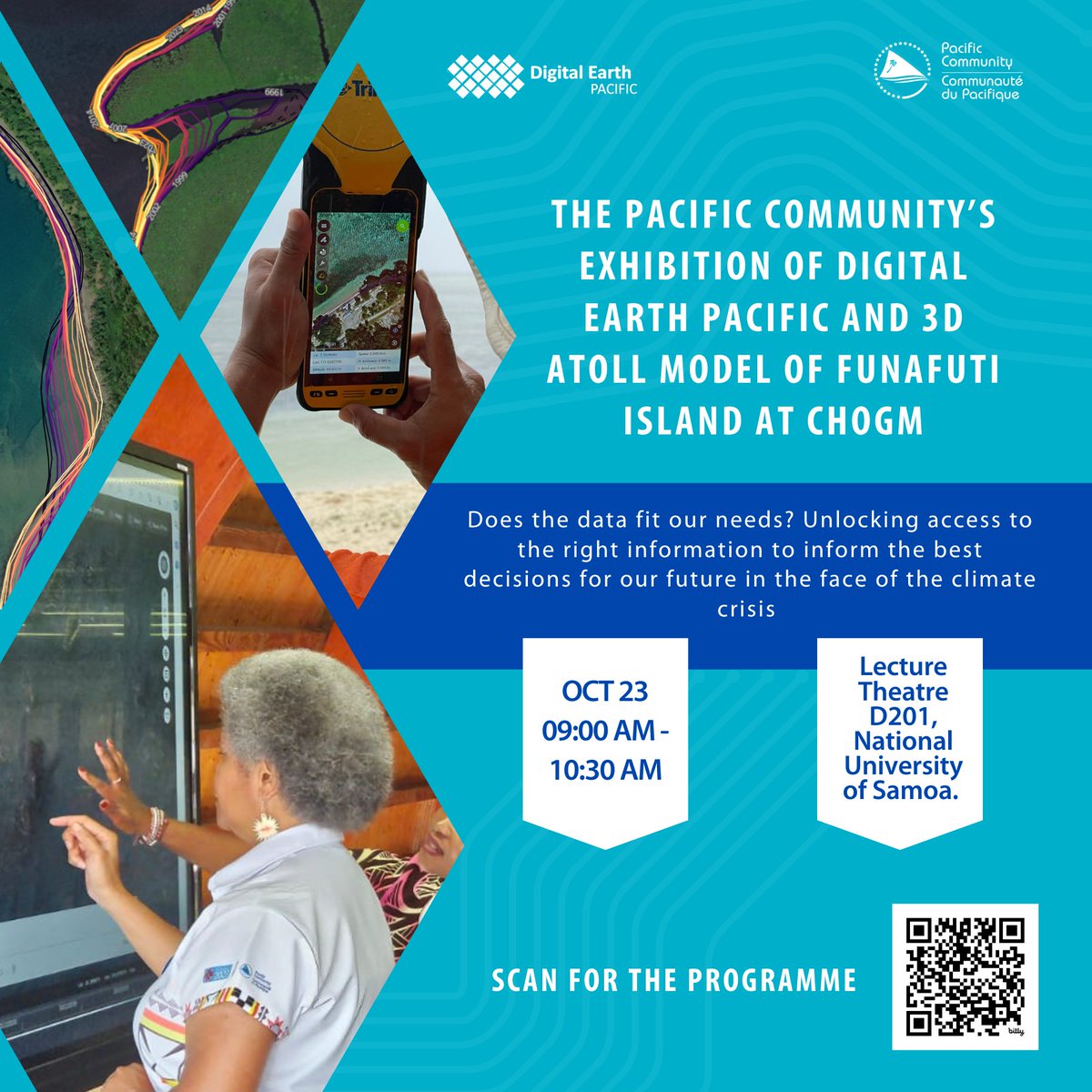
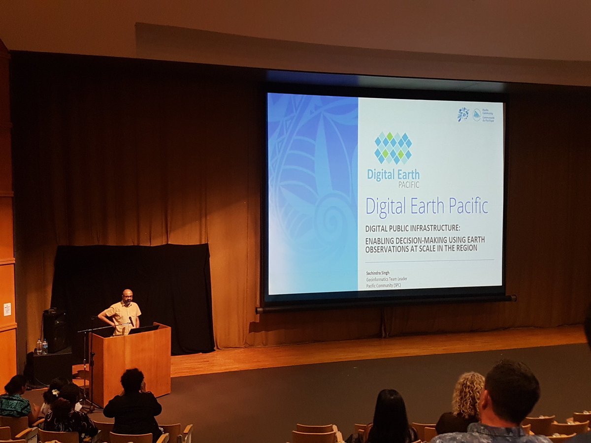
Meet us at #CHOGM 2024 in #Apia for SPC's exhibition of #DEP and the 3D Atoll Model of #Funafuti Island.
📅 Wednesday 23 October
🕘 09:00 to 10:30
📍 Lecture Theatre D201, National University of #Samoa.
📑Programme info: https://t.co/9Qi8ttUD1S
@DEarthPacific
It's been a while but my first paper for my PhD co-authored by my awesome supervisors is out now!
https://t.co/TUwMNYwJqG
@SprepChannel @UON_research @chrisowers_ @saschafuller
If you want to start your spatial data learning before our next MOOC opens, check out this lab ➡️ https://t.co/pHW7msOX2w
Play the role of a 🔥wildfire analyst and train a deep learning model to classify buildings as damaged using 🌎ArcGIS Pro!
#ArcGISPro#DeepLearning
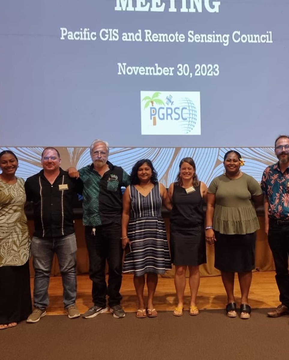
Announcing the Pacific GIS and Remote Sensing Council (PGRSC) Conference Committee for 2024!
We are excited to introduce the dedicated members of the Pacific GIS and Remote Sensing Council (PGRSC) Conference Committee for 2024.
In recognition of International Day of Women and Girls in Science, we highlight the work of 2015 @AustraliaAwards alumna Vani Koroisamanunu, who is an environmental GIS Specialist @SprepChannel. Vani hopes to inspire #girls to explore geographical information systems #STEM.
Discover how GIS is empowering the federal government to tackle complex issues. Join us at the Esri Federal GIS Conference, February 13-14. Attend workshops, see the latest GIS tech, and connect with experts.
🔹Register: https://t.co/OqIrkgC3BY
#FedGIS2024#Government
Learn how governments prepare for extreme weather by deploying a real-time GIS mapping solution. This solution utilizes #ArcGIS Velocity, a SaaS IOT app for #ArcGISOnline. Connect with an #Esri expert to better prepare for winter operations. ❄️
Sign up: https://t.co/bO8sOxlbyL
🌐 Reflecting on a Successful Annual General Meeting - Pacific Islands GIS & Remote Sensing Council 2023 🌐
As we conclude this AGM, we eagerly anticipate your continued involvement and look forward to seeing you at the next Annual General Meeting.
Thank you #pgrsc members.
“Fiji Government invested in transitioning our paper-based map records into a GIS environment. This strategic move has significantly empowered us. Today, through platforms like Vanuaview or VanuaGIS, accessing maps and land information has become effortless"
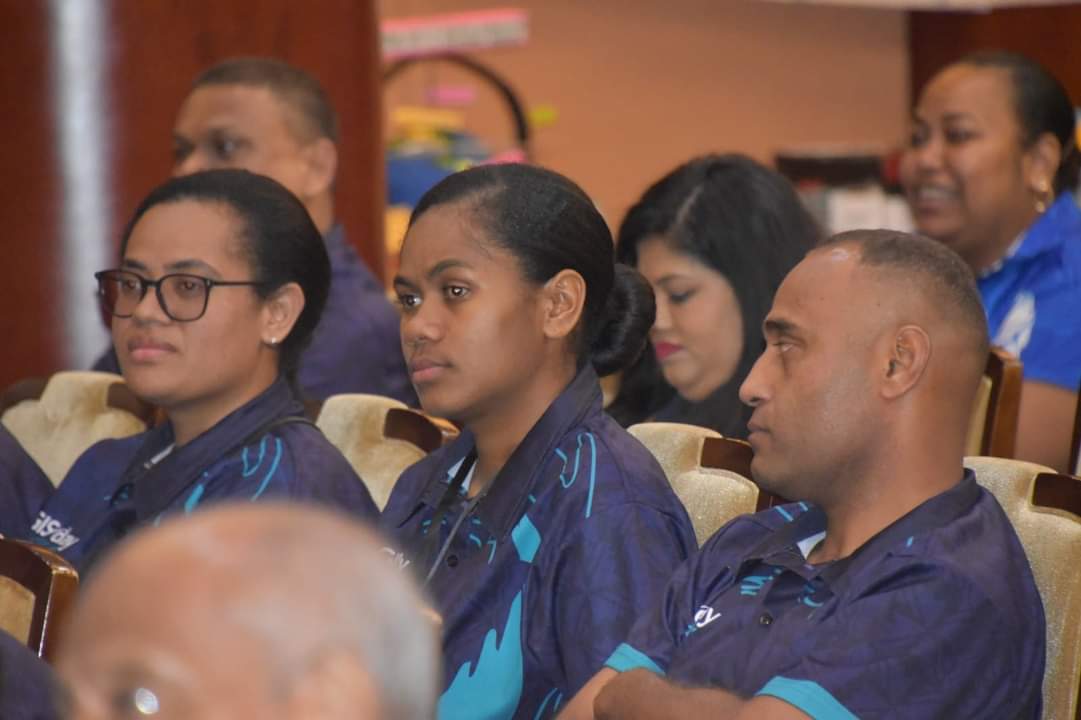
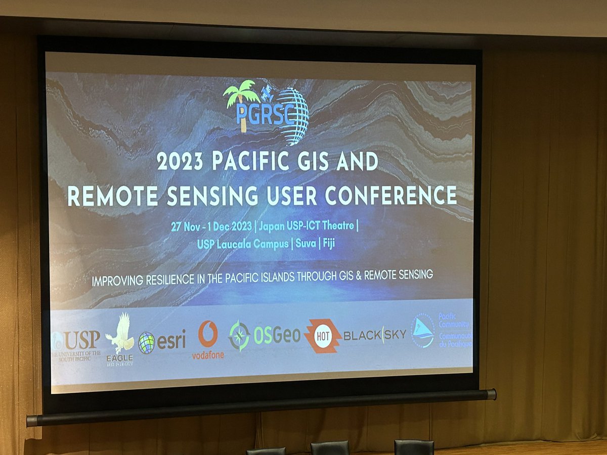
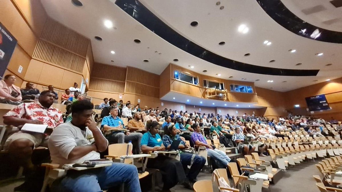
The 2023 Pacific GIS/RS User Conference which saw around 200 participants at its opening today has @spc_cps as one of its partner organizations; along with having @DEarthPacific showcased in the industry session.
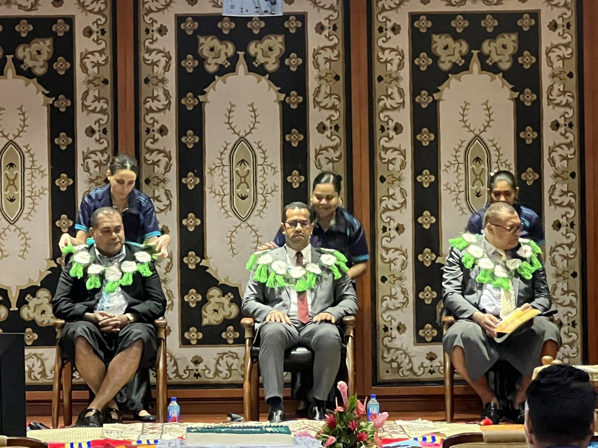
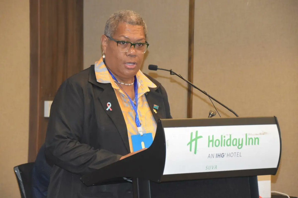
“It's a timely and critical focus as the Pacific undergoes rapid infrastructural growth. We must collectively address the potential risks and challenges that accompany this development, from environmental impact to socio-economic implications.” said MInister Filimoni Vosarogo.
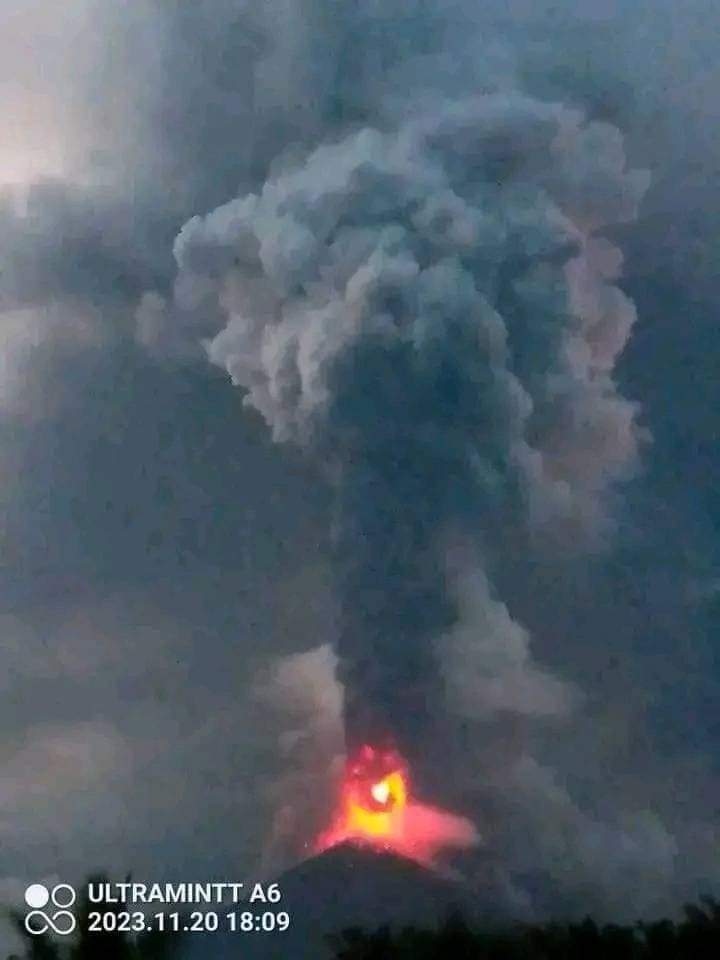
Some great photos of Ulawun erupting....
On the evening of the 20th November, a significant eruption took place at Ulawun Volcano in Papua New Guinea, with volcanic ash reaching 15,000 meters.
Via: @abc_geografija
📷 Lost Generation
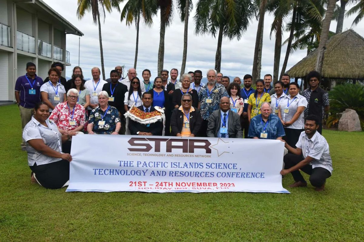
The Pacific Islands Science, Technology and Resources Network Conference will commence tomorrow Tuesday, 21st November - Thursday, 24th November 2023. Theme: "The Risks to the Pacific Region from the Development of Infrastructure"
#scientistnetwork#PacificScienceConference2023
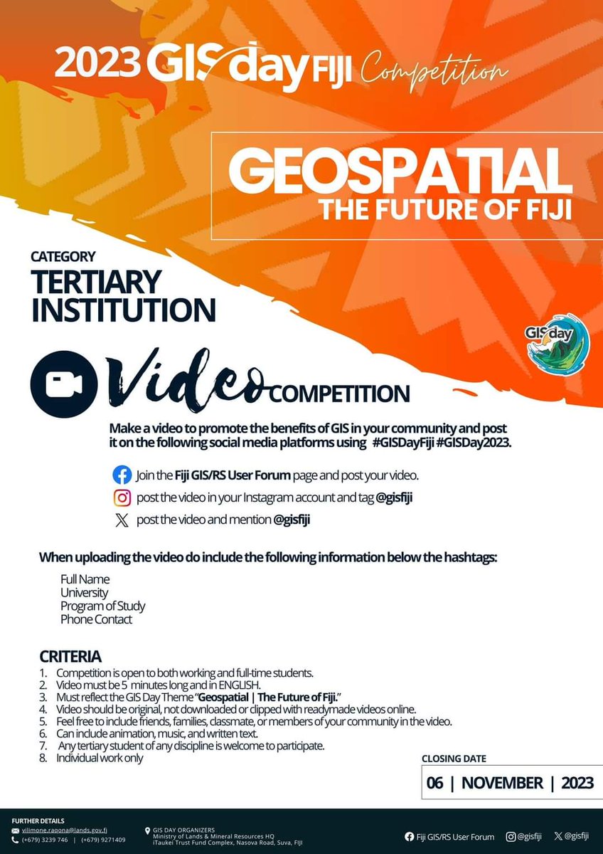
Queen Victoria School (QVS) students, based at Matavatucou in Tailevu dropped off their GIS Day Models accompanied by their Geography Teacher ! 2 more days left for the closing on GIS Competition on 6th of November 2023. Hurry now, don't delay, take part to win amazing prizes.