Understanding the Global Freshwater System by Combining Geodetic and Remote Sensing Information with Modelling Using Calibration/Data Assimilation Approach
The total drainable water storage of the #CongoBasin has been quantified for the first time, ranging between 476 km³ to 502 km³ - almost the size of #LakeErie! 63% lies in southern sub-basins. More: https://t.co/SPTyyaxpcF
@FabricePapa @ElmiOmid@BenjaminKitambo
In the afternoon at 15:30 CEST, @CSchwatke will present his research on high-resolution water surface slope on Polish rivers from multi-mission #altimetry measurements in the open session in Geodesy (G6.1). @EuroGeoscience @EGU_G
In the morning at 11:15 CEST, @HGerdener will talk about the global land water storage data set GLWS2.0 which is based on global GRACE #assimilation into a hydrological model (11:15). It is part of the "Geodesy for Climate Research" session (G3.1).
Join us in the poster session of HS6.4 today at #EGU23. @SchererDaniel presents his research about deriving river surface slopes from #altimetry. His poster is in hall A (A.86) from 8:30 to 10:15. Do not miss out this opportunity to network with him! @EuroGeoscience @EGU_G
Good morning, #modelling and #hydrology enthusiasts! Join Sayed-Mohammad Hosseini-Moghari today when he shows how to improve the simulation of man-made #reservoirs in a global hydrological #model at PICO spot 4.7 (Hall X4) from 8:30 to 10:15. #EGU23 @EuroGeoscience @EGU_HS
@KExploringEarth will provide a talk at 17:25 in room 2.15 about calibrating a hydrological model while simultaneously assimilating two data sets - total water storage anomalies and streamflow observations.
@MehediH11538546's poster about applying a multi-variable Pareto calibration to 1500 major basins around the globe is in hall A (A.28, second floor) and he will be happy to answer your questions from 10:45 to 12:30 CEST.
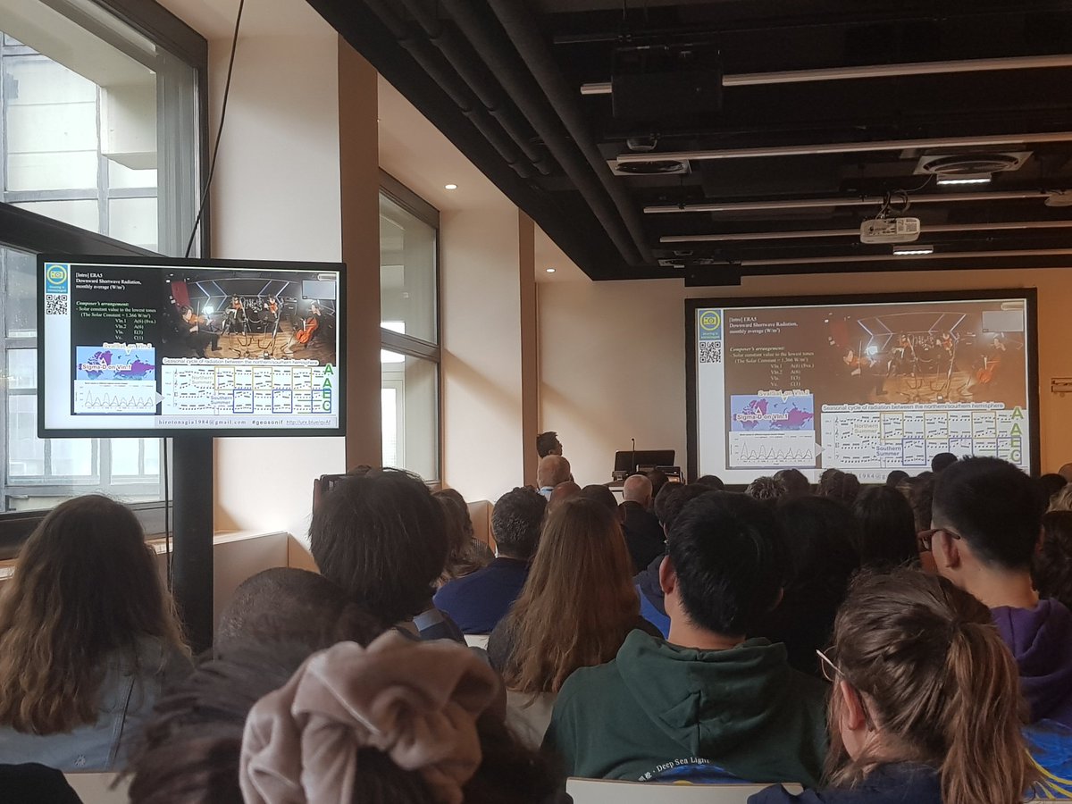
How does the Earth sound? Hiroto Nagai presents his fascinating quartet based on Earth observation data: String Quartet No.1 "Polar Energy Budget" #EGU23
We're are excited that several project members will be presenting their research at #EGU23! Come hear our members share their latest research! @EuroGeosciences@EGU_HS@EGU_Geodesy
Covered topics are reservoir #modelling, #calibration of hydrological models, data #assimilation, and deriving river surface slopes from #altimetry. A full overview of the presentations is provided at https://t.co/2SzAxqo64n
This figure shows the temporal variations of the total water storage over Germany, with the large seasonal variations (summer vs. winter) already removed. We can see that in particular the recent dry years affect the trend.
Did you know that Germany lost about 760 million tons of water per year within the last 20 years? Scientists (including several GlobalCDA team members) used #GRACE and GRACE-FollowOn satellite data to investigate the #waterLoss.
https://t.co/KdGbpFXs6o
The 2nd ICCC Workshop on "#Geodesy for #Climate" starts tomorrow @IAG_climate. Do not miss the talk by Mohammad Tourian et al. about "Current availability and distribution of Congo Basin's #freshwater resources" on Wednesday at 8am!