Delighted that our report and website with interactive maps on "New Approaches to Understanding Equitable Access to the Outdoors" is out in the wild at The @Wilderness Society. With thanks to partners @greeninfo and @ResourcesLF, too. https://t.co/qZOq7VvYFB
Join us for the launch of TrueViews, an innovative public opinion resource by @HarvardLaw's @ElectionClinic & @BloombergCities' Local Politics Lab! 🗳️ Virtual (open to all) & in-person (Harvard ID holders) on Sept 3 at 11 am ET. https://t.co/0rM3uM8a3q
We are hiring a "GIS Manager and Senior Analyst"! Come work with us!
Check out the job description below.
https://t.co/AYb47lUvCD
#gis#gisjobs#geospatial#cartography
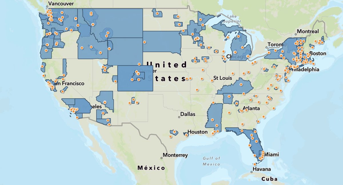
We are thrilled to announce the release of our CLT/Nonprofit Shared Equity Homeownership map. Using our brand-new census data, we hope this serves as a helpful tool to identify CLTs/SEH across the U.S.! Special thanks to @greeninfo for their partnership.
https://t.co/dHG7KOVDzn
At @NACIS 2023, we gave an Accessibility in Mapping Workshop. If you missed it, or just would like a review of what we chatted about, we summarized the workshop in a blogpost. Check it out!
https://t.co/4XJfiOdxtZ
#gis#cartography#design#accessibility#accessibleDesign
There are so many ways to get into mapping, GIS, & development.
Former staff member Kimberly Becerril interviewed some current staff about career journeys & how they got into GIS and dev.
Read it here! https://t.co/TUX4s5cK6Z
#gis#mapping#design#developer#code#geospatial
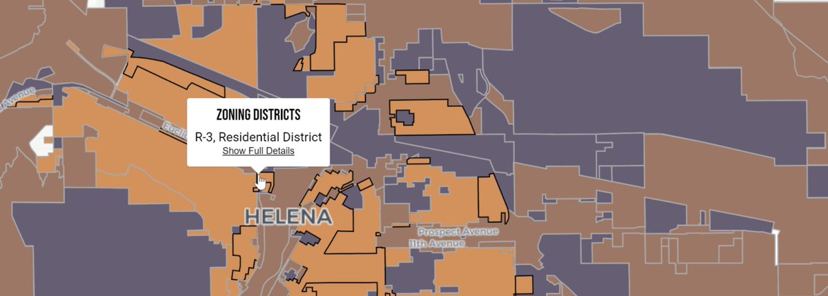
Laws that govern land use, economic influence, & more are influenced by zoning. Zoning data is complex, and we are supporting the development of a web app that improves the error prone collection data processes that exist. Read more below:
https://t.co/TZF0RZp2Or
#gis#data#maps
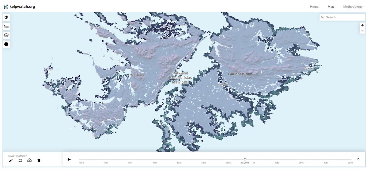
Excited to be part of the growing https://t.co/YhOzaEHN8h project that's helping scientists and advocates understand and protect kelp forests -- now in Alaska and the Falkland Islands!
New data are up on https://t.co/pHFBx1Uf6S! The tool now hosts canopy-forming #kelp data in Southeast Alaska and the Falkland Islands. Check it out! @WHOI and @UCLA#Landsat#opendata#kelpwatch
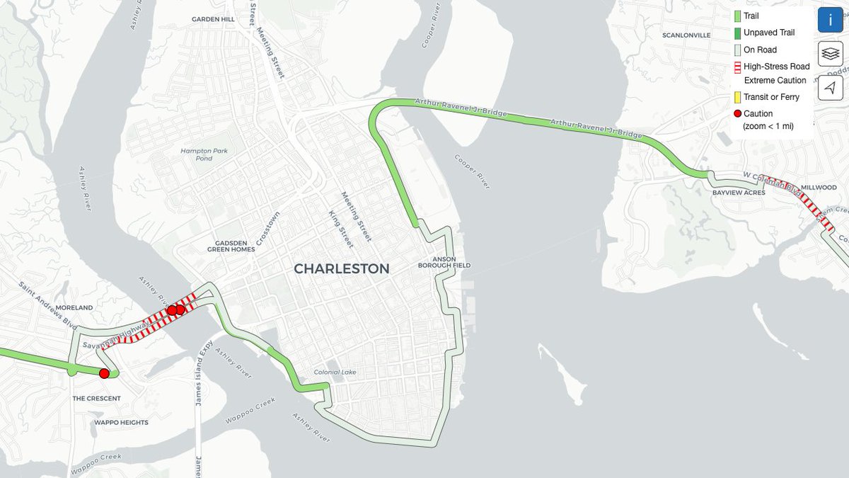
Working in coordination with our long-time partners at Greeninfo Network, we are pleased to share that our online mapping tool has been updated to clearly identify high-stress, on-road portions of the interim East Coast Greenway route.
🔗 https://t.co/9DbX7MEn1u
We love to see our clients and maps in the news! First it was @GlobalEnergyMon in the NYT, https://t.co/IXbiLCjVU6 and now https://t.co/YhOzaEHN8h from @Conserve_CA on Vox, https://t.co/qXZJbgZ54Y
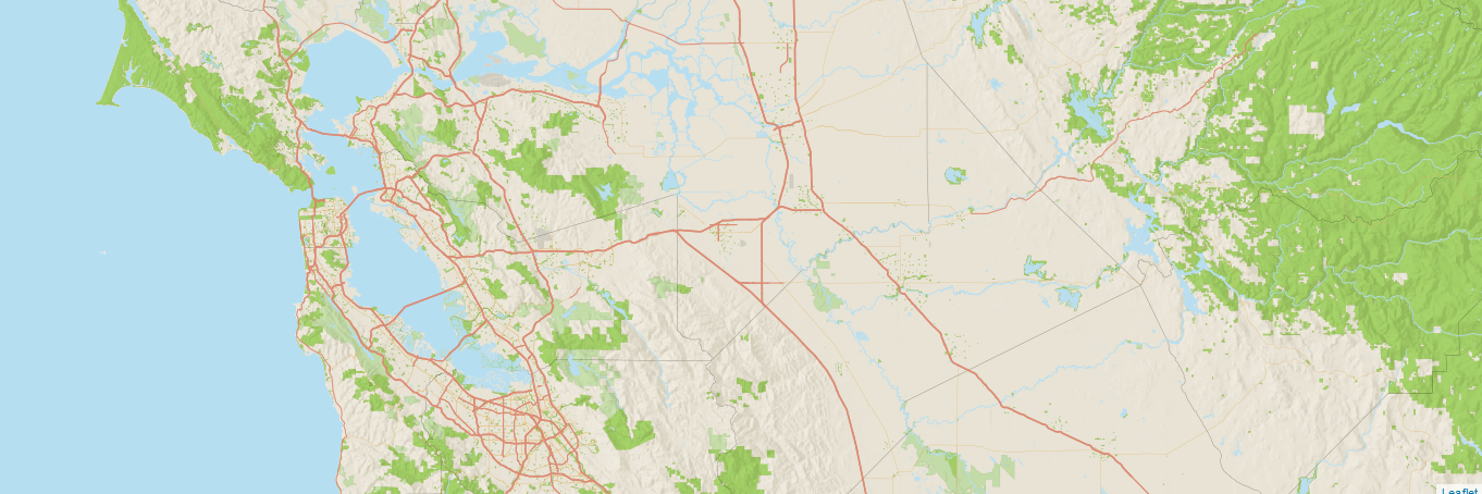
In addition to historic inspired #styles, we have worked with @OpenHistMap to design the main #map that shows all OHM data over time.
@tsinn discusses this style's iterations & the latest landcover/landuse updates below - check it out! https://t.co/mLAOXhvduS
#gis#cartography
Long-time GreenInfo Network Board member Madelyn Glickfeld is retiring soon, which inspired us to talk to her about her 20+ years working with #GIS, & how she has seen things change
"there was almost no GIS at all when I started..."
https://t.co/yjOcak1ZPh
#map#maps#cartography
Interested in #30x30 effort #conservation in #California? Join us to talk about restoration & stewardship, measuring outcomes, and advanced mitigation. Hosted by @FHBP_OC on 4/27. Registration and info: https://t.co/gDzJGgZSPn
Did you know ~3 million Californians have an "assigned" State Senator until Jan 2025 & others have 2 senators until then? I didn't & we've been working on #redistricting the past few years. Down the rabbit hole: https://t.co/ZtwzVULzs2 + data for current state senate districts!
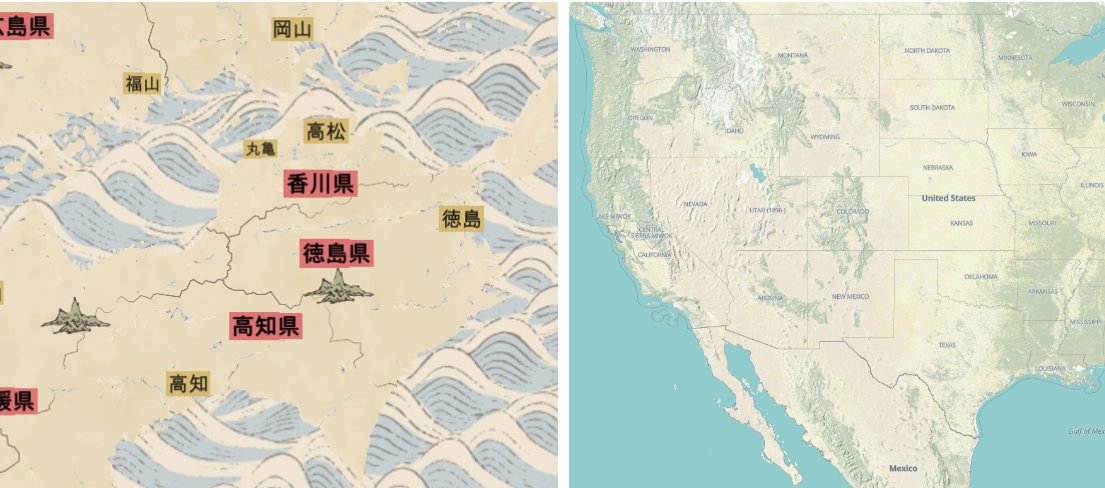
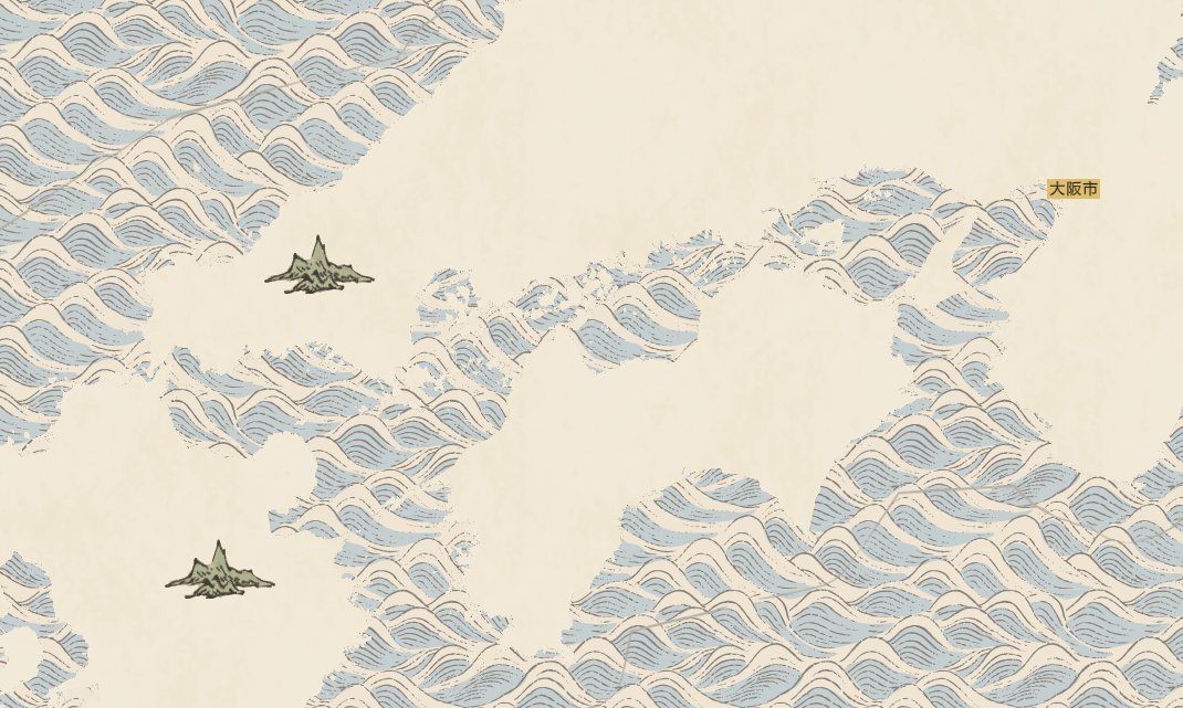
GreenInfo Network helped to create another historical style for @OpenHistMap, inspired by japanese scroll maps in the history of cartography.
Learn about the design process from in the below blog post!
https://t.co/0ASJzBepsH
#gis#cartography#design#maps#aesthetic#map
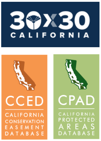
How do 30x30, the California Protected Areas Database (CPAD), Conservation Easements Database (CCED), and the Conservation Land Network (CLN) all fit together? And what counts for 30x30 anyway? Learn more on March 29, w/us and @TOGETHERBayArea. Sign up: https://t.co/0ch7QDedTS