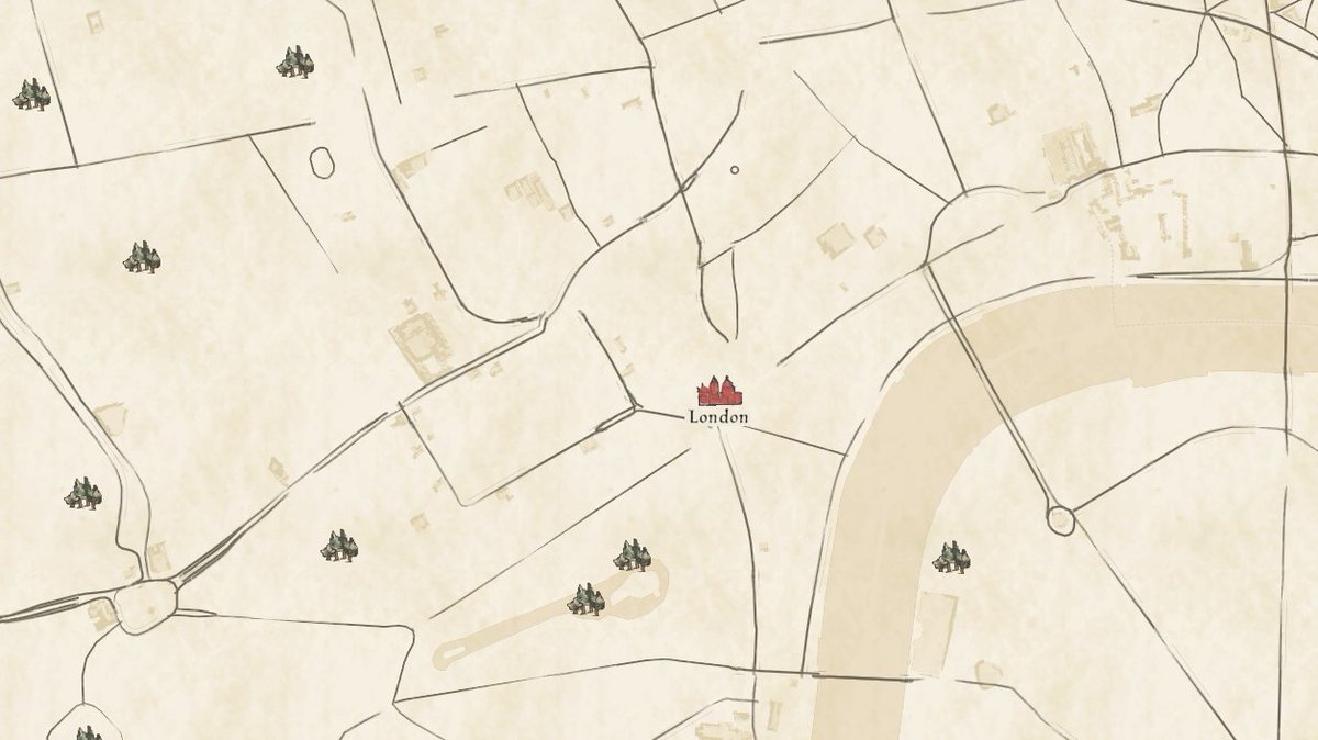
In addition to historic inspired #styles, we have worked with @OpenHistMap to design the main #map that shows all OHM data over time.
@tsinn discusses this style's iterations & the latest landcover/landuse updates below - check it out! https://t.co/mLAOXhvduS
#gis#cartography
Great insights from our friends @greeninfo on COVID-19 and the American Community Survey. https://t.co/LKjJCsVJdq
Top level: the @uscensusbureau advises data users not to compare 2020 data to any other ACS data year.
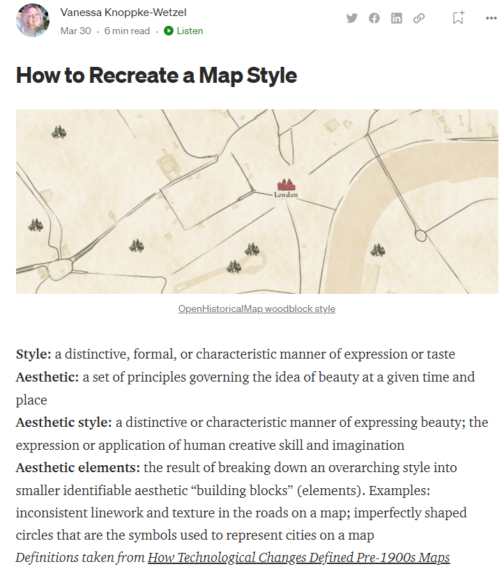
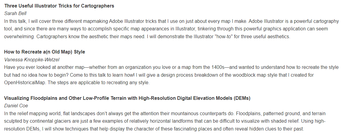
Woo! Catch me talking about some of my work at @greeninfo and learn how I created the woodblock style for @OpenHistMap (and how you can recreate a style, too)
AND after @sarahbellmaps and before @geo_coe? What a lovely session to be in :)
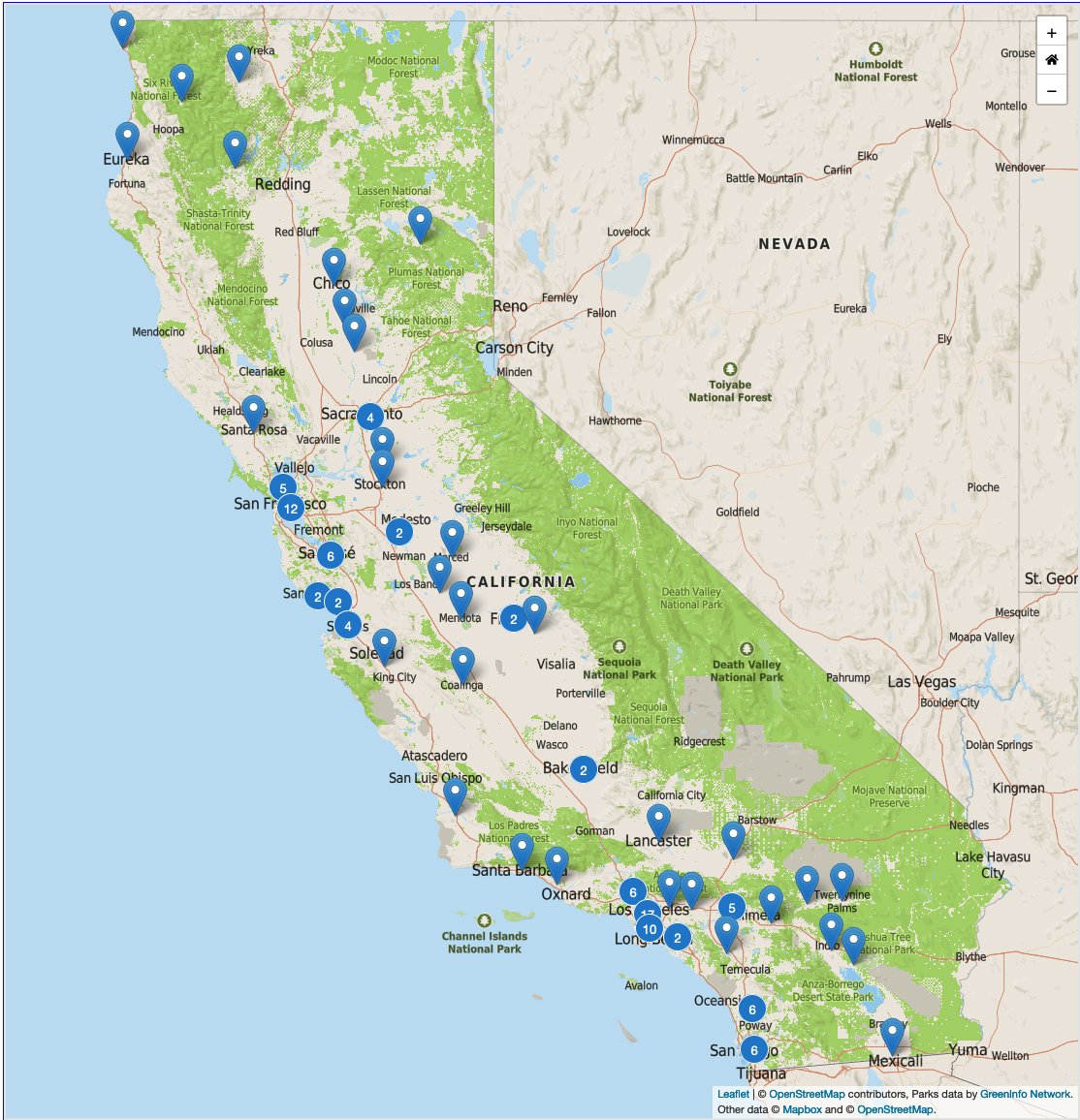
So many great programs getting funded! All listed and mapped at https://t.co/V4F0szmVOF. We are always excited to help w/data and presentation of such amazing projects!
We’re incredibly proud to announce $57M in grant funding for 125 low-income urban & rural communities to expand their access to outdoor experiences @ state parks & other public lands. Learn how this funding will help all Californians: https://t.co/R0b0eIB3IV
@cvdcastateparks
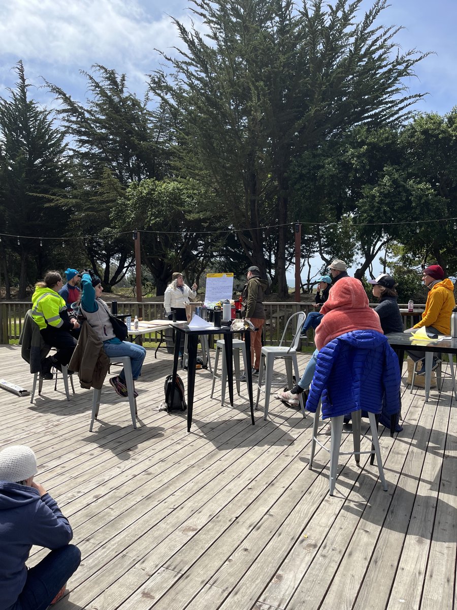
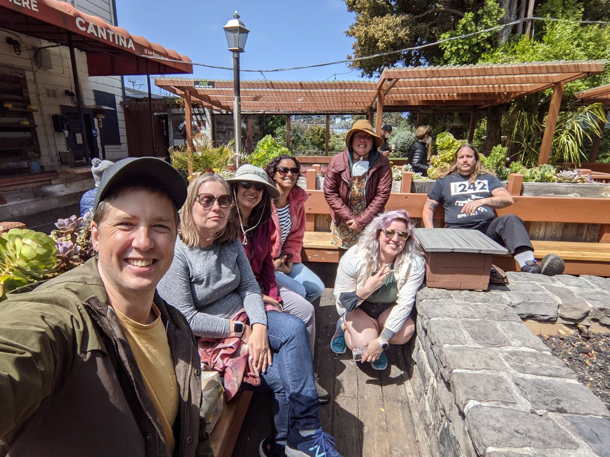
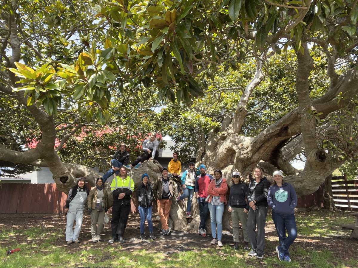
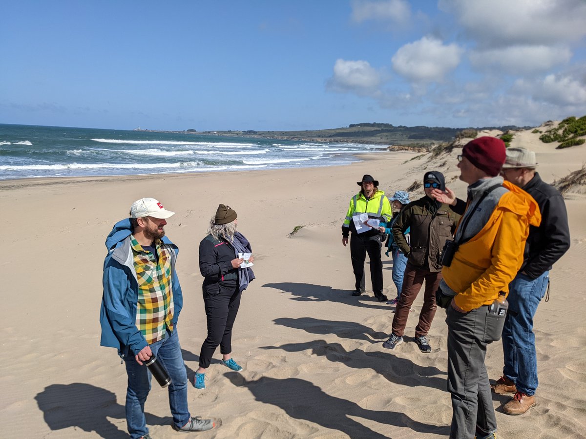
Last week GreenInfo met after not having seen each other since 2019! It was a productive work retreat (stay tuned for some exciting news in the future 😉) and especially wonderful just to catch up in person, make abstract maps (see thread), explore area, cook, together, and more!
Have you ever wanted to recreate a #style in a #map and not known how to go about it?
Read our latest blog post to understand how to break that style down, and what Qs to ask when working in modern #mapping technologies.
https://t.co/GVNJjbvtOa
#gis#gischat#cartography