The Saharan Air Layer (SAL) is coming across the Atlantic now & it can suppress hurricanes. Its dry air, strong winds, & warmth stabilize the atmosphere, hindering storm formation & growth.
Learn about SAL & research on its impacts on hurricanes: https://t.co/LpT13g2ORs
Uncrewed surface vehicles (USV) are vital tools used to collect observations to improve hurricane forecasts.
For the first time, scientists at AOML are using USVs to directly quantify air-sea momentum exchange in hurricane force winds.
Check it out: https://t.co/ncV3uwas97
Today is my 4th anniversary as @NWS Director. I’m so proud to lead this public safety, national security, science agency. It’s humbling to lead our Transformation to a more nimble, flexible, and mobile agency that better serves the public, emergency managers, media, the weather enterprise, and first responders. #LetsGo
Check out this animation of the real-time data collected by four uncrewed surface vehicles during Hurricane Tammy in 2023.
USVs provide an unparalleled look into seascapes before, during, and after tropical cyclones.
Learn all about it: https://t.co/Gjafeq1qww
For the first time, data from the Black Swift Technologies’ S0 drone will be integrated into NOAA’s hurricane forecast model (HAFS) during the 2026 hurricane season.
Recent tests have shown this can improve #hurricane forecast accuracy by 10% :
https://t.co/pDwzrpzyQX
🚨 The 2026 Hurricane Field Program Plan is officially LIVE!
Head to the link to explore the AOML Hurricane Research Division’s planned experiments & science modules, cutting-edge instruments, operational strategies, data management plans, & more 🔗: https://t.co/FnenvcEzgr
UPDATE on Fire in the Everglades:
The brush fire that started yesterday near Mack's fish Camp (18599 Krome Ave) has expanded and is burning in three locations.
- The first is the original brush fire near Mack's Fish Camp which is partially contained.
- The second is near Holly Lake in Pembroke Pines
- The third is approx. 3 miles west of US27, heading north-northeast toward Everglades Holiday Park.
Multiple Fire agencies are on scene, including the Division of Forestry, Miami-Dade Fire Rescue, BSO Fire Rescue, Pembroke Pines Fire Rescue and others.
- There will be helicopters in the area dropping water.
- Persons with respiratory illnesses or sensitivity should monitor the air quality or stay indoors. The air quality can change by the hour depending on the winds and the heat.
- NO residential communities are in danger.
For air quality information visit https://t.co/TgIamSmSDk
Take action TODAY to be better prepared. Even if you’re already well-prepared, there is always more to learn. Understand your risk from water & wind! Find out if you live in a flood-prone area or evacuation zone, and know your home’s structural risks https://t.co/sie5YbKPKQ
Excited to be a part of this paper led by Jason Sippel, Sarah Ditchek, and a few others on how assimilating aircraft data improves TC hazard forecasts (like track and rainfall) even after landfall. We're trying to be more intentional about 1) Understanding and demonstrating the value of the aircraft data and 2) Using our model data to better predict TC hazards that go beyond just the track and intensity metrics. This paper does both of those things.
https://t.co/uW2n00AOFe
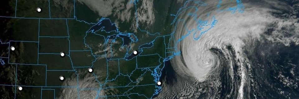
As hurricane season approaches, NOAA’s hurricane research teams are fully engaged
in preparations.
Prepare now: develop an evacuation plan, know your risks, stock essential supplies, & familiarize yourself with NWS NHC hurricane forecast maps. Let's stay ready together. 🌀
As part of Hurricane Preparedness Week, NHC is encouraging you to build your knowledge kit. For day 2 of preparedness week, Laura Alaka will be discussing Storm Surge Warning. https://t.co/8lPfArb3CH
This hurricane season, NOAA is bringing the science to you in the 2026 Hurricane Awareness Tour: https://t.co/ZfIF03FIqG
🗓️ May 4: Sarasota, FL -
🗓️ May 5: Mobile, AL - Mobile International Airport
🗓️ May 6: Lake Charles, LA - Chennault International Airport