🎉2022 Wrapped🎉
Another fun year of animated #3d#dataviz coming to a close. Lots of emphasis on experimentation with #transit data this year which was great to explore and some fun personal projects too! Lots of globe designs too which I hadn't realised 🌐
To celebrate the festive season, today we have a very special #BODS themed #dataviz from @CraigTaylorViz ❄️
Every time a bus moves, a (large!) snowball drops - an hours worth of movement shows how these snow piles form lovely mountains in three cities throughout England 🚌 🇬🇧
I'm taking a Twitter break over Xmas from next week so pulled together a wrap-up video from a busy year! These projects straddle my work @itoworld and some Mapzilla side-projects but with over 141,600 frames rendered this year my machine needs a break 🤣 #3d#dataviz#dataart
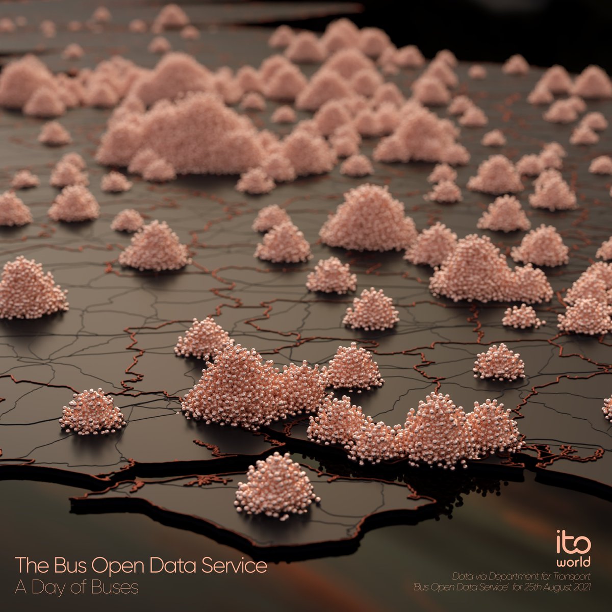
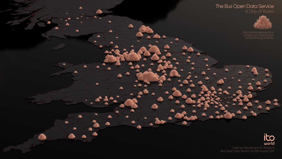
Following on from last weeks exploration into 'bus piles' (for lack of a better name) - I created this #map for #carfreeday2021 showing all the unique buses in BODs for 1 day centred on the LPAs they are journeying in!
#3d#dataviz
Next up in my 'race' #map mini-series is a very exaggerated, generalised, and abstract view of the 21 stages for this years #TDF2021 🚴🚵
Thanks to everyone who has suggested races and routes - I'm going to be busy mapping these amazing routes this year!
#3d#animation
Starting 2021 with a new side project: 🎉 Animated #LEGO Viz! 🎉
Ep. 1 looks at how the pandemic affected 18 weeks of Europe's flight activity.
It's 'goofy fun' but who doesn't love retro #dataviz! Better with 🎶
HT @cartocalypse & 🙌 @LEGO_Group for an amazing #NES set!
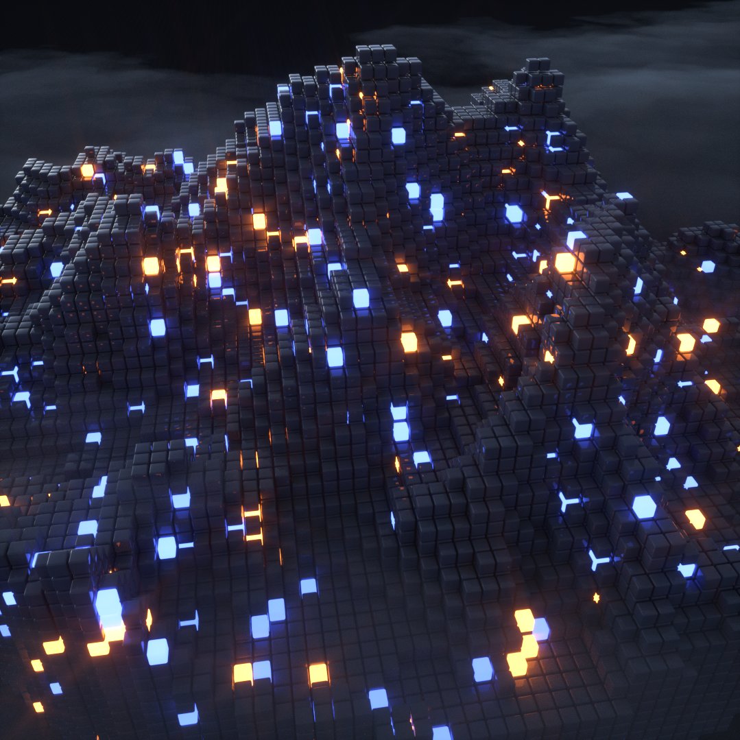
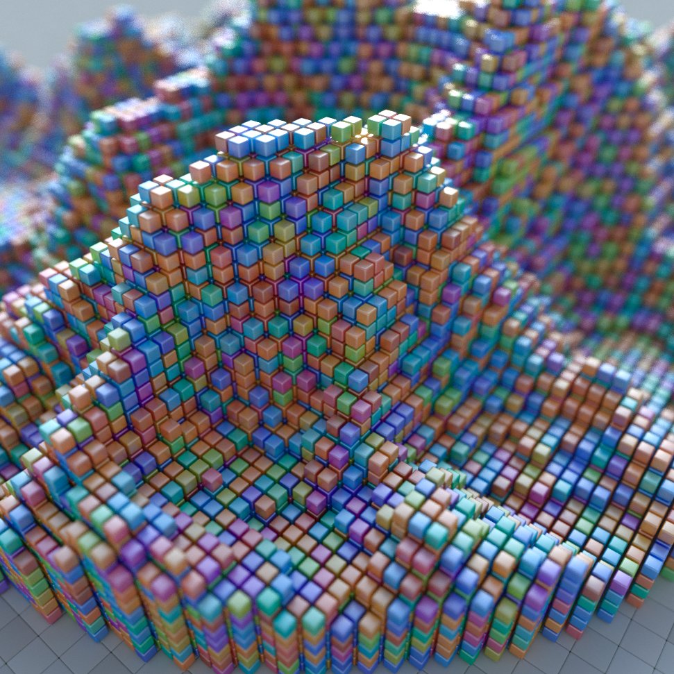
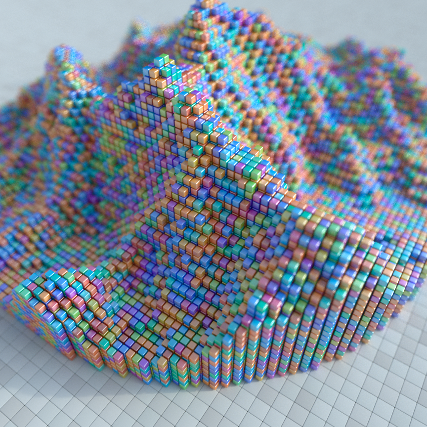
Voxel Mountains 🏔️ First side project of 2020, it is different to Topostix! A few material concepts here - made using terrain converted in @ephtracy#MagicaVoxel rendered in #Cinema4d using #octane. #map#3d
#30DayMapChallenge Wrapup 🎉
Well, I didn't hit the 30 but here is a showreel of all of my animated maps. https://t.co/K2gB8B5LTe Old concepts but new vizzes every day was a blast to do! I'm taking a break from twitter for 🎄 so see you all next year!
#maps#3d#animation
#30DayMapChallenge Day 29: Experimental 🧪
Every #dataviz I produce stems from experimenting - this old concept looked at optimising journeys around London to avoid population hot spots. The population heatmap change is fabricated for testing purposes.
#maps#3d#animation
#30DayMapChallenge Day 21: Environment 🌳
Experimental #animation of all the trees in #NYC ... raining from the sky. Sorted by date they were added to the dataset.
Data via: https://t.co/OHyeSrjrk5
#maps#3d
#30DayMapChallenge Day 18: Globe🌎
Anyone remember the brief landing sequence on LV 426 from one of the greatest sci-fi films ever - Alien? Well, I tried to recreate it for today's 'Globe' challenge.
#map#3d#animation#scifi
#30DayMapChallenge Day 12: Movement 🐦
Today's challenge data comes from the awesome @MovebankTeam, an amazing resource for animal tracking data.
This #dataviz is showing the movement of Manx shearwaters around the coast of Wales, Isle of Man and Ireland.
#map#3d#animation
Happy Coralween🎃- Invasion of the Cosmic Corals! duh duh duuuuuuh... Since it's #halloween2019 why not watch as our @itoworld Corals get sent from space to invade the world's most populated cities... Will humanity survive?!
https://t.co/KvDKdVDuWf #dataviz#map#geohorrorviz