Chief Meteorologist @WGNOtv. Previous account hacked. Tweeting weather info, my garden, drinks, sports, etc. Trying to keep life real and simple. Hail State.
Remember, there is no such thing as “heat lightning”. All of the lighting you see in Alabama is from a thunderstorm.
In summer they can be over 50,000 feet fall, and the lightning can be seen from over 80 miles away. Too far away to hear thunder.
Video from Tara Fields in Vernon
Beautiful today and tomorrow then a bit more clouds and humidity Sunday. Just a spotty shower possible then. Rain with some storms moves back in early Monday morning. Today around 70 with mid to upper 70s through the weekend. https://t.co/Q49nnQxApb
There's a lot going on for Mardi Gras weather. Strong wind ahead of the front and the potential for severe storms with it. Full details here. I think the severe outlook is a bit overdone at the moment. https://t.co/zw5dbOzcSu
We are monitoring a fire that’s southwest of New Orleans. We are concerned that with fog, some of it dense at times, could mix with the smoke of this fire and create extremely low visibility in the area tonight into tomorrow morning. This is called superfog. (1/2)
Rain and storms tonight and Friday morning. This line will be weakening as it moves through. Best chance of any strong storms will be along and west of I-55. Otherwise drying out Friday with low 70s. Beautiful weekend ahead . https://t.co/5Pt8wlBUXQ
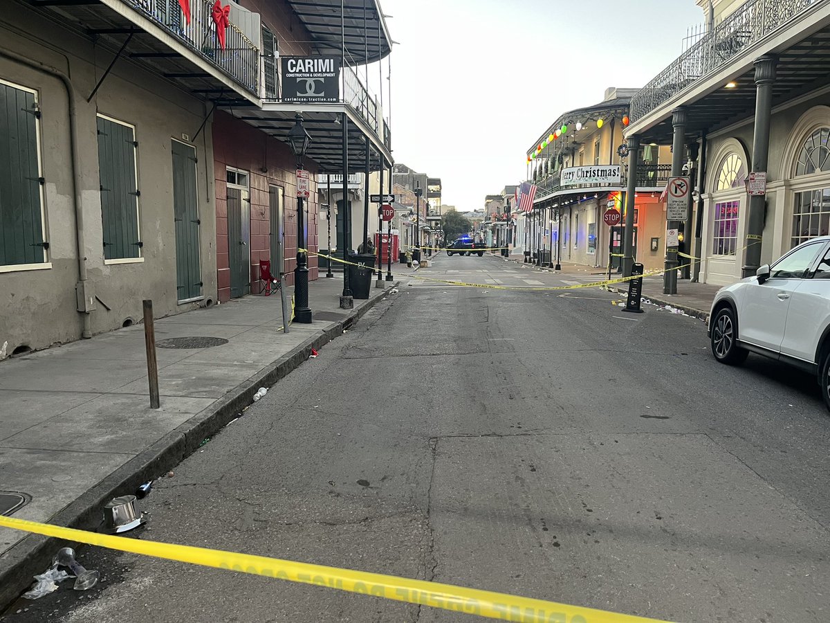
Anyone with information that can assist in this ongoing investigation is urged to call @FBINewOrleans at 504-816-3000 or by emailing [email protected].
Watch out for fog again early Tuesday, especially north of the lakes and along the MS coast. Good weather through the night for fireworks except for some wind so watch out for that. Much cooler to start the year. Full forecast here. https://t.co/XFcVdM6q66
Windy Wednesday with highs only around 70-72. 60s Thursday/Friday with 40s for lows. Much cooler through the week. Good idea to avoid boating on Wednesday as well with gusts in the 20s and some 30s offshore. Full forecast here. https://t.co/sKffQ5ljY2
TROPICAL STORM SARA? 🌀 High chance a tropical depression or storm forms within the 2 days. Models are signaling this could become a major hurricane as it moves north through the Caribbean, with a potential turn toward Florida next week. Next name on the list is #Sara.
Biggest story with this storm to me. Sheared storm caught in the trough with that heavy band of rain and wind northwest of the center. Nearby front enhancing wind. This is great video of it. Not the usual east side is the worst scenario. Similar to Francine here
Boy this reminds me so much of Francine but on a bigger and stronger stale. Heavy rain and flooding band north of the center. Dry to the south. Surge south and east of the center. But really the biggest impacts probably in that northern band.