

Top Tweets for #OSDevelopers

Did you know that we offer extensive access to OS data through the OS Data Hub, and you can get started for free?
See how you can benefit from the power of location and bring your solutions to life: https://t.co/Lru2i0d4ow
#OSDevelopers #DataforDevelopers #LocationData

What is Human Centred Design? The OS Rapid Prototyping Team explain this approach to problem solving, which places an emphasis on the user: https://t.co/NwwGAiqM5W #OSDevelopers #Developer #Innovation

Start building apps and solutions with Great Britain’s most authoritative location data 📍
Get started with developer tutorials and resources: https://t.co/EAWpbBdWRc
#OSDevelopers #API #Data


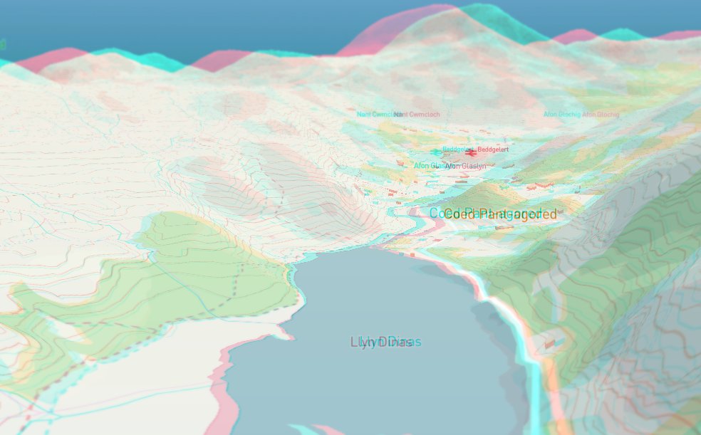
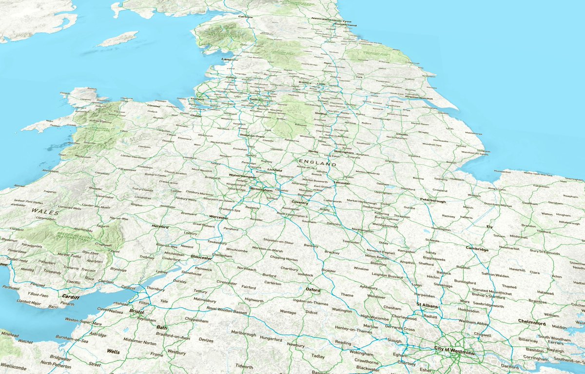
It's back! My 3D Great Britain map built with free @OrdnanceSurvey mapping data and @Mapbox new 3D terrain tools https://t.co/BjwfJTzAgK
(I can post you some 3D specs if you're in the UK, just DM me) #OSDevelopers
1/2 You get a lot for free when you use the @OrdnanceSurvey Vector Tile API for your mapping (and Public Sector can get it all for free). I knocked this video up so you can see when the map switches from free to costed. More on pricing here https://t.co/aaKi3weDJr #OSDevelopers
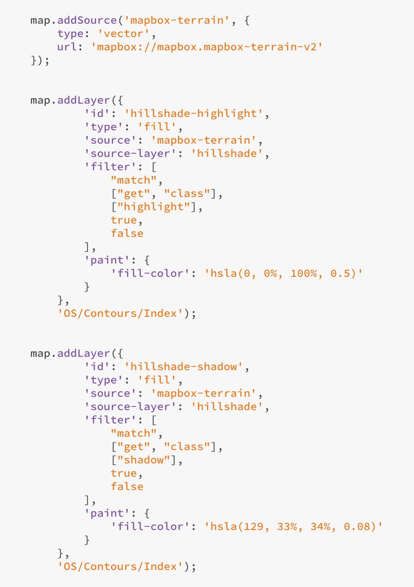
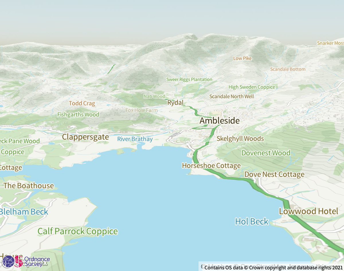
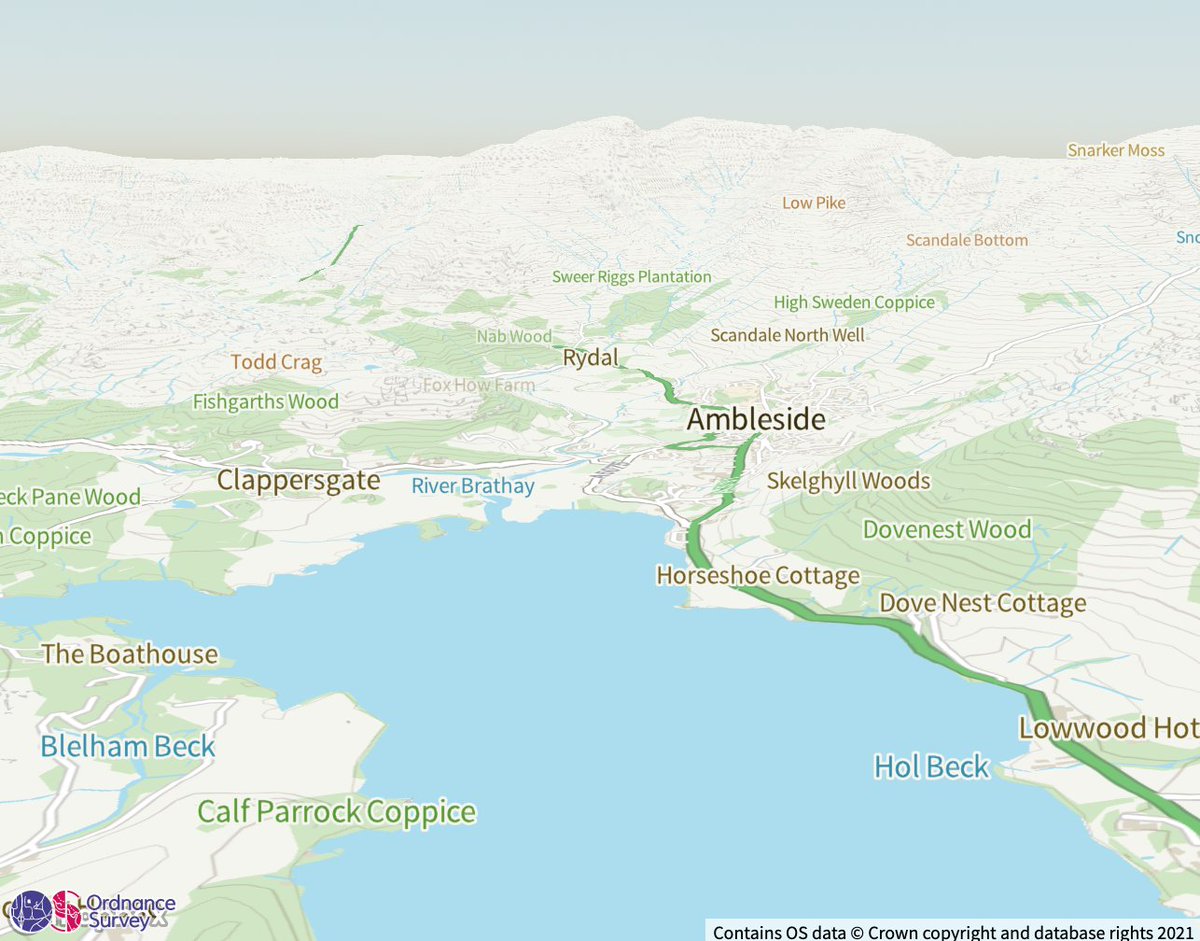
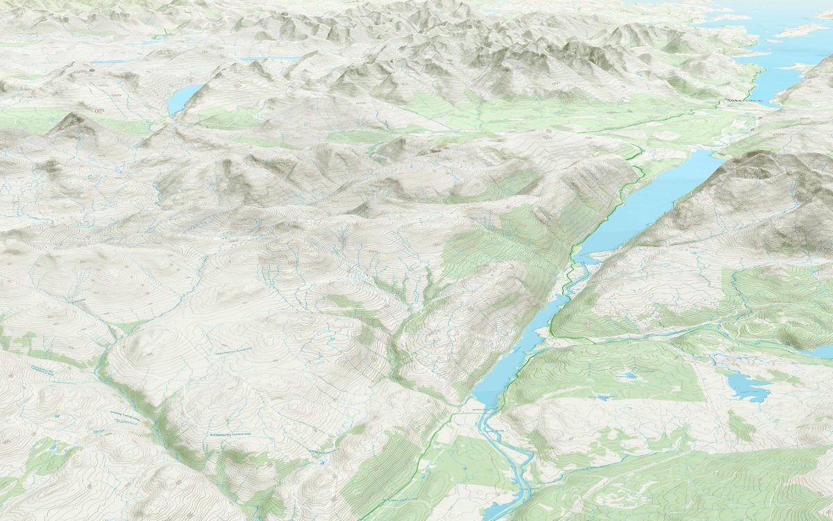
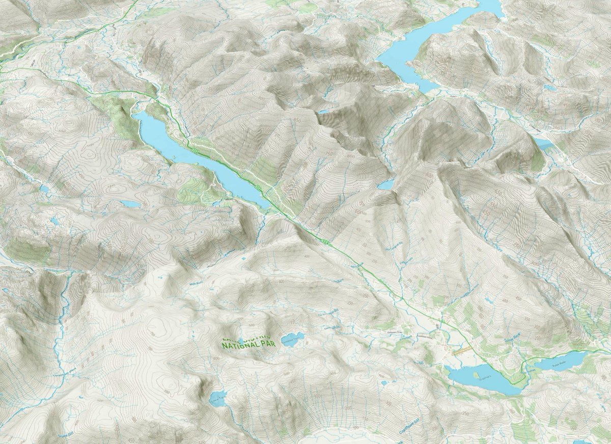
1/3 If you're going to use a flat-colour basemap (like @OrdnanceSurvey Vector Tile API) with @mapbox's new 3D Terrain it helps to add a bit of terrain shading - some pics without hillshade, with hillshade, and some code are attached. #OSDevelopers
A few little tweaks to my 3D walking routes map https://t.co/gahdCFFJht Should be a little bit easier to read, and a little faster on low-powered devices. It shows walking paths from @openstreetmap overlayed on Ordnance Survey's Open Zoomstack map. #osdevelopers
There's a live version of my 3D @OrdnanceSurvey Open ZoomStack map here https://t.co/gahdCFFJht
I've thrown in some colour tweaks using CSS and some @CesiumJS fog adjustments for prettiness. This is fun! Seems to work ok on phones too. #WeAreOS #OSdevelopers
@OrdnanceSurvey has now released a new short term ‘Covid-19 licence’. The licence means anyone can use OS mapping and geospatial data, free at the point of use, for the specific purpose of supporting the UK response to the coronavirus pandemic. #OSdevelopers

OS for Developers
Making Great Britain’s trusted location data accessible through OS mapping and data APIs
https://t.co/QTqalVKWmm
#OSDevelopers

Soon #Nodejs will support #GoogleFuchsia
#Google #Fuchsia #FuchsiaOS #NodeJS #JavaScript #JSframework #JS #Framework #Operatingsystem #Programmers #Developers #OSdevelopers #OS
https://t.co/EiLBKG7rkH

Trends for you
Most Popular Users

Elon Musk 
@elonmusk
241.1M followers

Barack Obama
@barackobama
119.1M followers

Cristiano Ronaldo
@cristiano
112.4M followers

Donald J. Trump
@realdonaldtrump
111.8M followers

Narendra Modi
@narendramodi
107.1M followers

Rihanna
@rihanna
98.1M followers

NASA
@nasa
92.2M followers

Justin Bieber
@justinbieber
91.3M followers

KATY PERRY
@katyperry
88.7M followers

Taylor Swift
@taylorswift13
82.6M followers

Lady Gaga
@ladygaga
74.1M followers

Virat Kohli
@imvkohli
71.5M followers

Kim Kardashian
@kimkardashian
70.3M followers

YouTube
@youtube
68.7M followers

Bill Gates
@billgates
64.5M followers

Neymar Jr
@neymarjr
64.4M followers

The Ellen Show
@theellenshow
62.4M followers

CNN
@cnn
61.8M followers

Selena Gomez
@selenagomez
61.8M followers

X
@x
60.8M followers