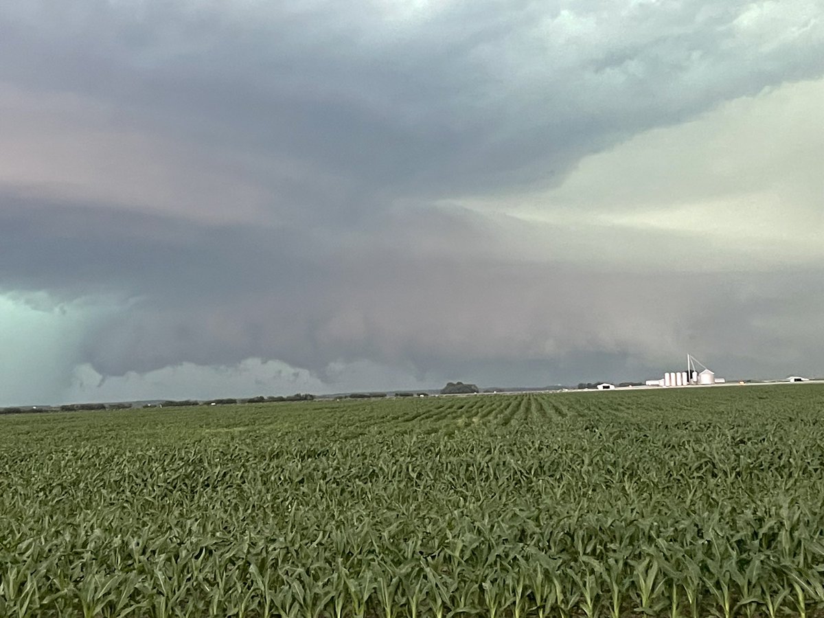
An outbreak of severe #thunderstorms is expected across the Midwest and Great Lakes today.
@NOAA's #GOESEast (#GOES19) 🛰️ is continuously monitoring the evolving situation, with the highest threat centered over Illinois and Indiana, which are under a #ModerateRisk. Damaging winds, hail, and potentially intense tornadoes are possible.
Latest: https://t.co/qERZhrYZHF
A severe weather outbreak is forecast tomorrow (Wednesday, June 17th) across portions of Illinois and Indiana. Here, we take a few minutes to discuss this impending threat in more detail.
With the threat for tornadoes across the region tomorrow, now is a great time to review tornado sheltering guidelines. Here are some tips on what makes a shelter good or bad. #ILwx#INwx
Looks like this was preliminary rated EF-1 per @NWSChicago. Hard to evaluate rating when damage was confined at fields. Hats off to y’all for the hard work with all these damage surveys🫡
1-minute Mesoscale Sector @NOAASatellites#GOESEast (#GOES19) Vis (top) and IR images with time-matched plots of SPC Storm Reports showed a supercell thunderstorm Thursday 6/11 that produced a possible long-track tornado (+winds and hail) across northeast #ILwx. @NWSChicago
The damaging wind swath from Wednesday, June 10 has been preliminarily confirmed as a derecho.
The wind swath had a track length over 400 miles with a footprint just under 100,000 square miles. The strongest known gust was measured at over 94 mph.
The Eastern Pacific hurricane season begins today, and we are taking a look back at one storm that left a lasting impact.
On October 12, 2025, remnants of former Typhoon Halong slammed into coastal Alaska, displacing more than 1,000 people and prompting one of the largest airlift evacuations in the state’s history. NOAA satellites were there every step of the way, collecting critical imagery and data.
Learn more about this devastating storm: https://t.co/9At4OrpyP0
It's been a very busy start to the severe weather season, indeed. And this doesn't include Tornado Watches! March 2026 included 6 days with at least 1 report of severe weather in our area (the average is 1 to 2).
The next threat for severe weather arrives tomorrow. #ILwx#INwx
Police personnel are in the area of the 1000 block of Janet Ave. We ask that all residents in that area stay in their homes and stay clear of the area. We will notify you when normal activities are safe to resume.