The forecast for Hurricane Simon is quickly becoming the most complex and unpredictable one we’ve seen so far this year.
Mazatlán is out of the cone. Cabo is in. And anywhere along the coastline of the Sea of Cortez could be the site of landfall.
There’s even a loop-de-loop built-in to the National Hurricane Center’s official predicted track for the storm.
A Wind Advisory in effect for Southeast Arizona from 11 PM MST Thursday night into 11 AM MST Saturday.
Expect E/SE winds 30-35 mph w/gusts 50-60 mph FRI into SAT. The strongest winds will be immediately downstream of the higher terrain, terrain gaps & E-W oriented valleys #azwx
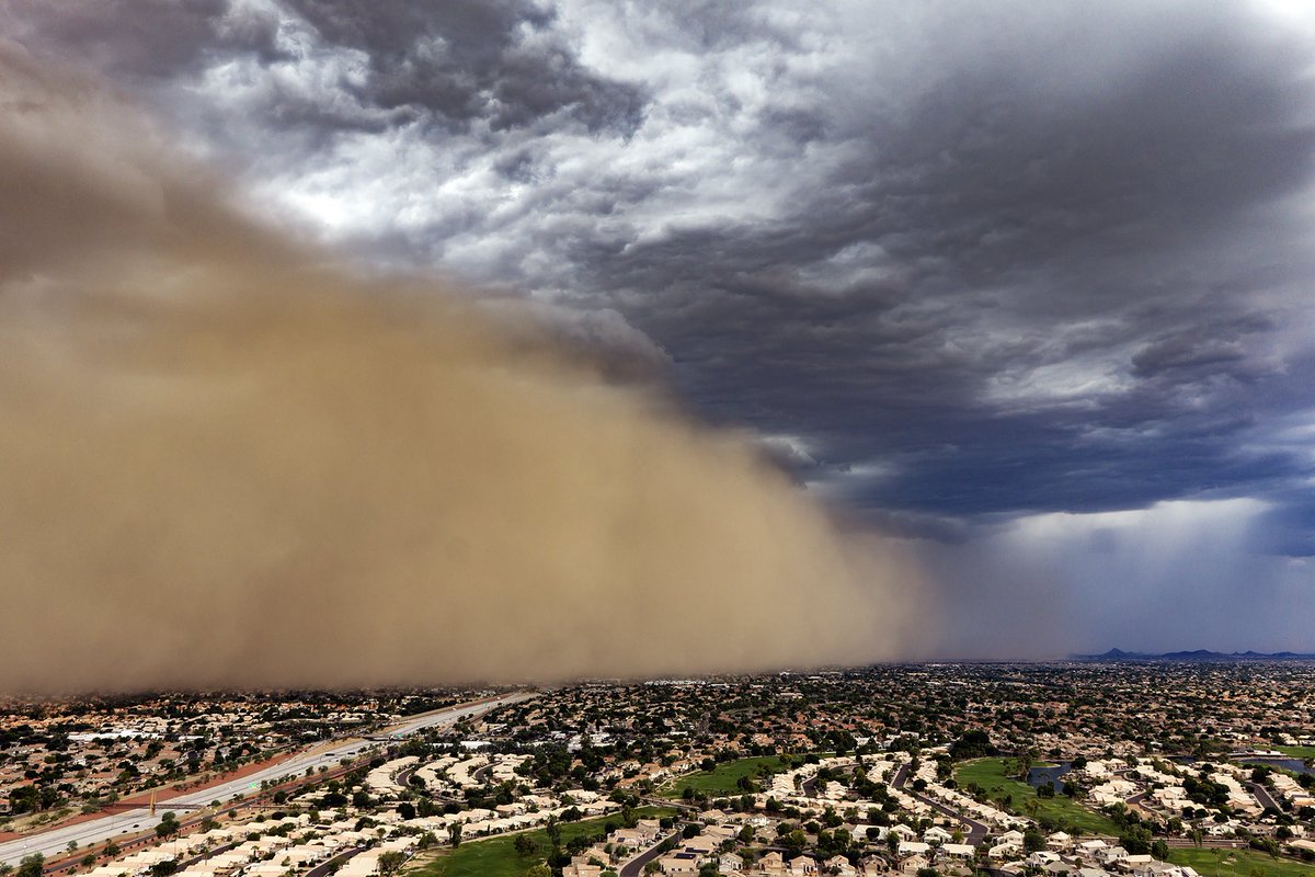
While sitting at lunch I looked at radar and saw a haboob approaching so I went in parking lot and launched my drone to shoot a rare October haboob converging on Phoenix. #azwx
📸 @rebilasphoto
EXACTLY WHAT NOT TO DO!!!!
Watch this guy cross this flooded road and go up and over a pile of rocks left by the flooding. This is on Highway 185 three miles south of Rincon, NM.
Thankfully he made it.
#NMwx
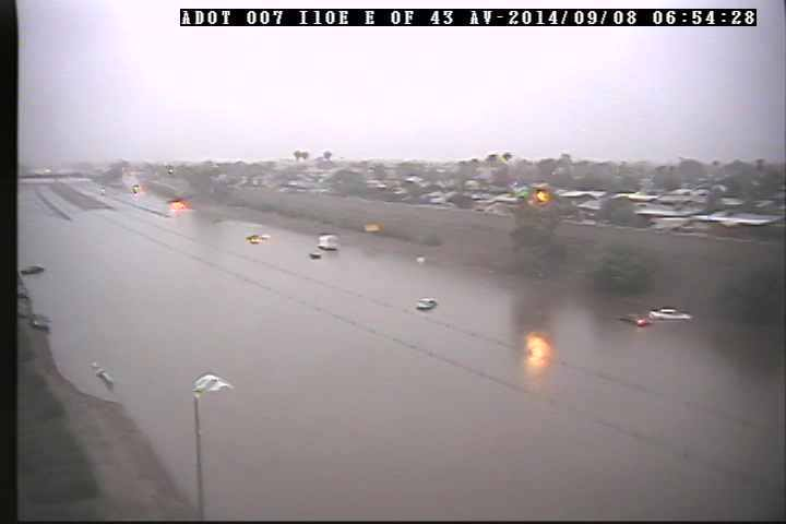
Today's the 12 year anniversary of the rainiest day on record in Phoenix. Nearly the entire metro 2+" of rain, some received 3-4", and a few spots received over 5". Sky Harbor measured 3.30". You can view a write-up for this day on our website here: https://t.co/e2JByipZbh #azwx
Tropical Storm Marie is currently centered well to the south of Baja. As it moves northwestward moisture will be on the increase starting Thursday into the weekend. This will likely lead to an increase in thunderstorm activity & a risk for heavy rainfall & flash flooding. #azwx
T-storms are slowly moving through Cochise County. Main impacts will be the heavy rainfall, small hail, and gusty winds. Douglas received 1.50 inches of rain in one hour!
Storms are moving north-northwest at 5-10 mph.
Turn Around, Don't Drown! #azwx
🌵⛈️Radar Update at 935 pm MST: Although the strong to severe storms on the E/N side of the Rincon/Catalina Mountains continue to weaken, a strong outflow has made its way thru the #Tucson Metro Area. Winds to 50 mph with localized blowing dust possible across the city. #azwx
🚨 CATEGORY 5 DUST STORM 🚨
The Aug. 3-4 haboob hit the top of the @ASU_SGSUP Phoenix Dust Storm Scale.
Peak dust rolled in between 10PM-midnight and is still lingering into this afternoon. All 18 Valley monitoring sites got hit. #azwx#Monsoon2026