Visualization and Analysis of the Rio Grande do Sul #floods (April 29-May 16, 2024) in Brazil with #Landsat optical imagery and Sentinel-1 SAR data
Notebook: https://t.co/JYsTav8f0J
Colab: https://t.co/kGbb1ZqH8e
#geospatial#geemap#EarthEngine#python
The new Elevation controller widget is going to be really helpful for exploring your elevation data. It's the equivalent of the temporal controller, but for Z filtering. Now available in the nightly release. Trelleborg, the Viking ring fortress in Denmark #QGIS@northroadgeo
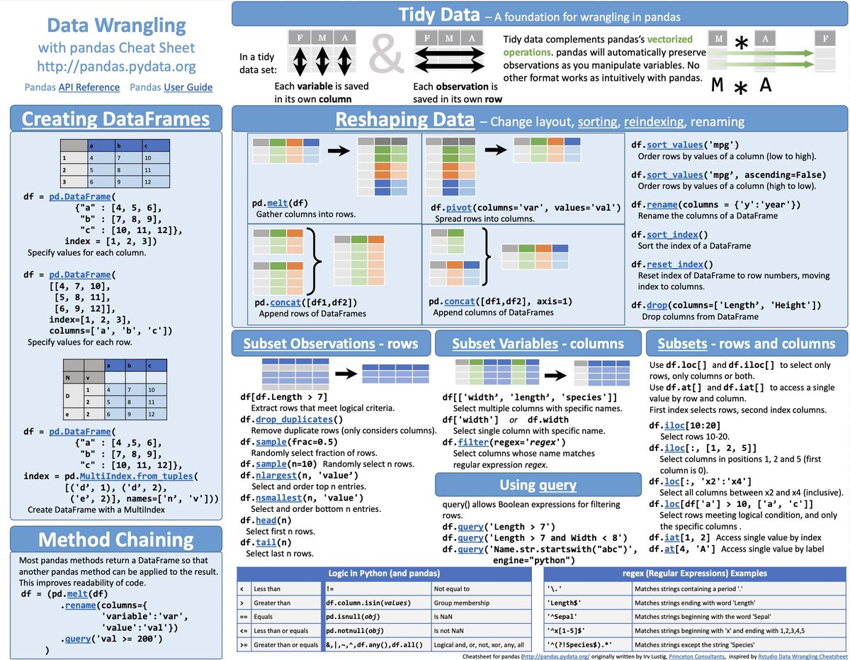
When dealing with #Parquet files in #pandas, it is common to first load the data into a pandas DataFrame and then apply filters.
To improve query execution speed, push down the filers to the #PyArrow engine to leverage PyArrow's processing optimizations.
Don't use ChatGPT for academic writing.
Instead, use Paperpal — an AI-powered personal writing assistant.
Especially if your first language is not English:
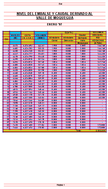
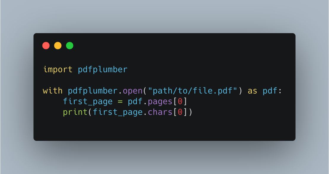
If you are processing multiple data, the #pdfplumber python library may be the tool you need. It even allows you to have multiple settings that change how it is reading the table. I am amazed.
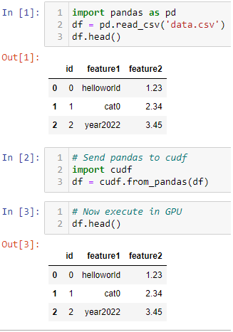
Want to speedup Pandas DataFrame operations? Let me share one of my Kaggle tricks for fast experimentation.
Just convert it to cudf and execute it in GPU using this 1 liner.
#Kaggle#MachineLearning#Python#pandas#Nvidia#rapidsai#cudf
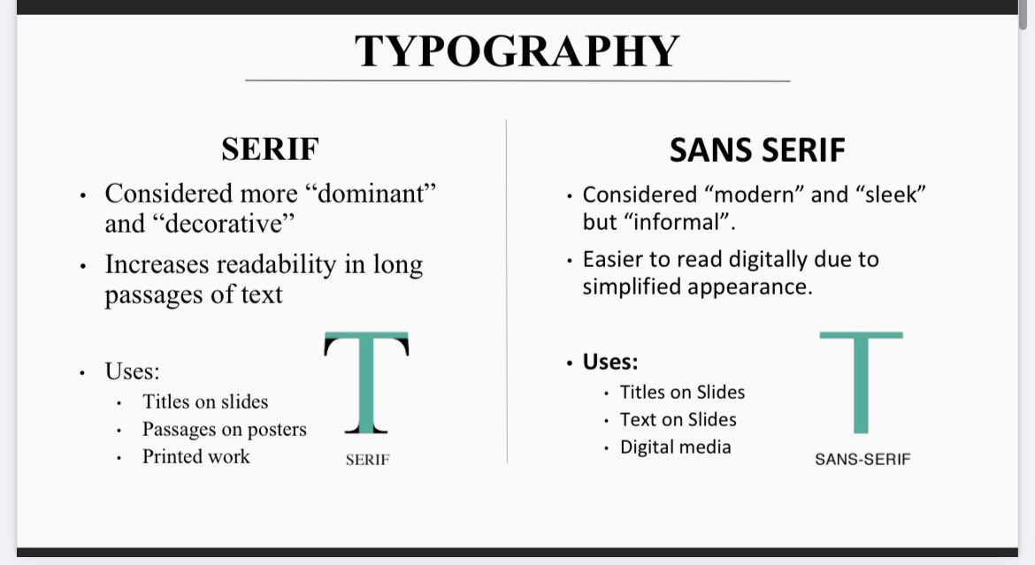
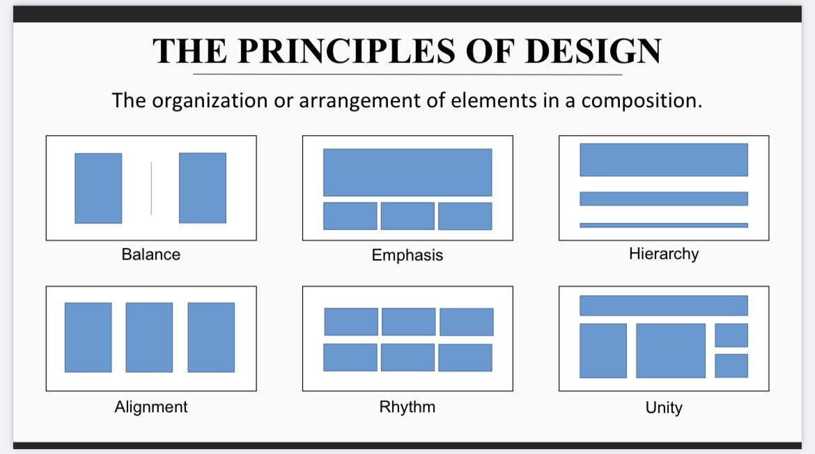
For people who like using POWERPOINT, here’s my FREE workshop on basic graphic design for science posters/presentations…for POWERPOINT, since it’s the most accessible program. It’s created for you to look through independently or use in lab meetings/etc. https://t.co/lEY9zYat6q