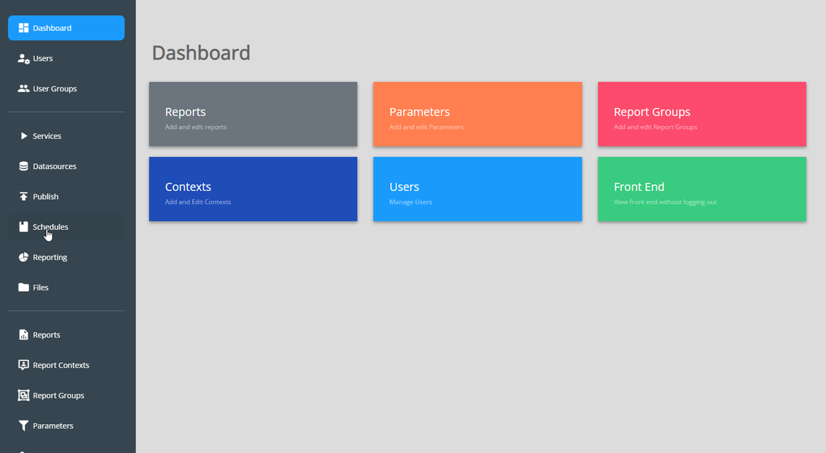
QCarta 5.1 is now available! New design and new features: Editing, Filters, Relations, Dashboards, Comprehensive QGIS Plugin, and more.
QCarta is a complete #QGIS GeoPortal and the simplest way to publish your #QGIS maps online.
https://t.co/Kl4x0SkRHR
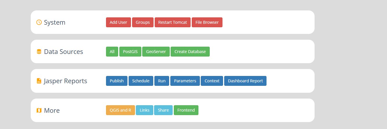
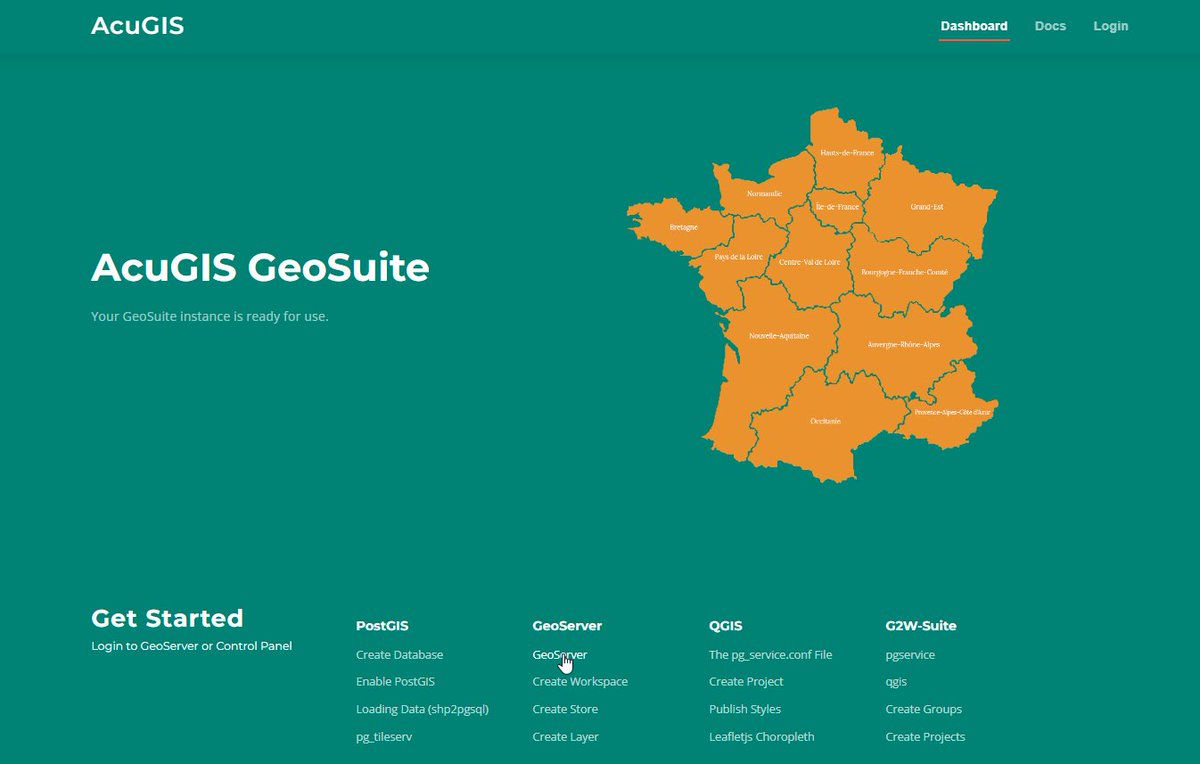
We've updated our Open Source GeoHelm with a new look, features and name: GeoSuite.
GeoSuite lets you Install and manage PostGIS, GeoServer, and QGIS Server. Support for Ubuntu 24.
https://t.co/wzO2G6sBrS
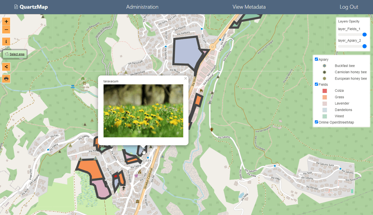
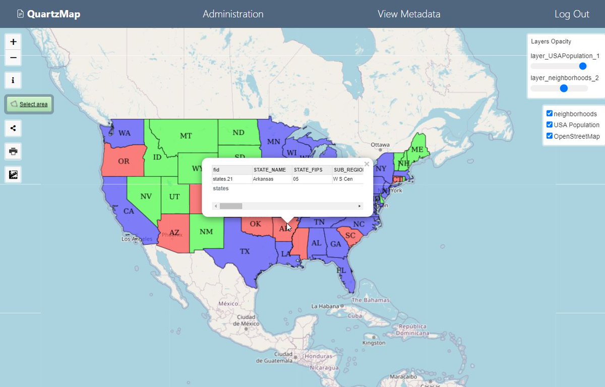
QuartzMap transforms your #qgis2web maps into secure and dynamic maps with no additional plugins to install.
Includes many additional features such as support for #qgis2threejs
Get started today at https://t.co/9asOCdfSTB
Want to learn advanced #QGIS for spatial analysis and data visualization? We are launching our Advanced QGIS course on YouTube and have designed a challenge #30DaysOfQGIS. Spend 30 mins every day for the next 30 days learning QGIS. Interested? Check out https://t.co/g4tpHQKSnY
Turn your #qgis2web maps into secure, dynamic maps. Connect your maps to #PostGIS and #GeoServer.
Try it for yourself on our free Public Cloud
https://t.co/9asOCdfSTB
The GeoGeeks at Home Podcast #GeoGeeksAtHome
GISuser founder, Glenn Letham (@gletham) has started a new Podcast, GeoGeeksatHome. Enjoy discussions with #GIS, #surveying, and #mapping industry professionals while they continue with their jobs working at home.
Beautifully Designed Map Shows the Literal Translations of Country Names: “Place of Abundant Fish” (Panama), “Land of Many Rabbits” (Spain), and More https://t.co/GR1nOE3cQP