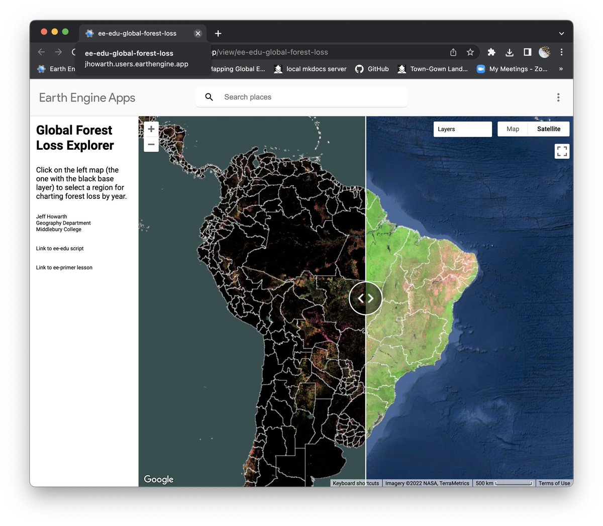
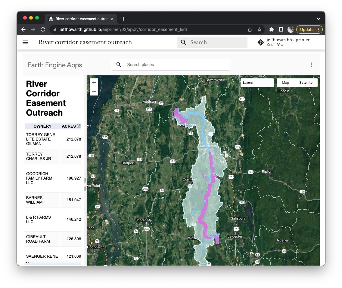
First draft of lesson on #earthengine app design for undergraduate students with Hansen dataset. Links to app code and lesson on bottom left. #GEEdu
https://t.co/W907nCDlxY
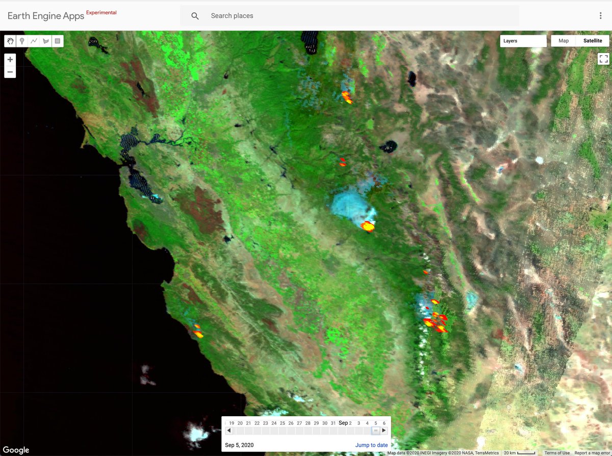
First draft of burn severity #earthengine app with #Sentinel2, MODIS, and FIRMS to explore #wildfire and fire landscapes: https://t.co/PUwXqYPKZy #GEEdu
I like to teach students to use ee-palettes with #earthengine but non-coders sometimes need extra help with list methods. So here is some scaffolding for #eenewbies.
https://t.co/2KCyrRk1M4
Here is a collection of simple cloud masks for #Landsat#Sentinel2#MODIS with #EarthEngine
Example code: https://t.co/0s0rzvGyQs
Reference module code: https://t.co/fZj9TnQ4CT
First draft of spectral signature scavenger hunt for introducing students to earth observation with #sentinel and an #earthengine app.
https://t.co/kgw1QFUJ59
Thank you to @valpasq for inspiration and code example.
First draft of #EarthEngine app for introducing students to land surface temperature with #landsat and stretch enhancement with histogram. Thank you to @ermida_sofia for modules.
A simple #EarthEngine#wildfire app to compare FIRMS and false color MODIS. FIRMS is two days and MODIS is three days behind now, but still helpful for historical inquiry. https://t.co/n1t6YKlp22
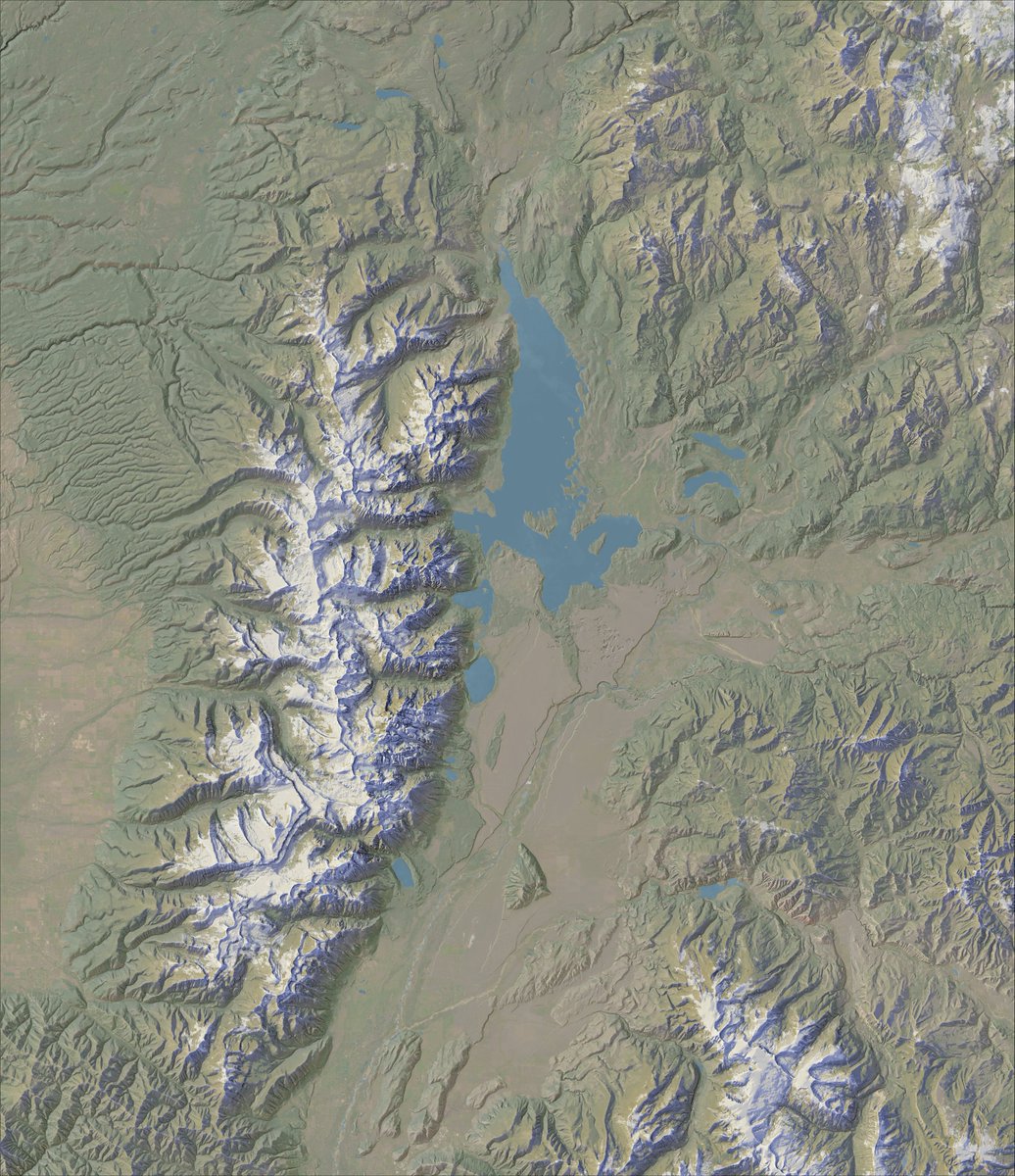
@rileydchampine Quick answer: mashup of things I've learned from @MtnMapper + @MartySchnure. Long answer: https://t.co/tgNS8X1no8 (I taught cart online this semester after spring break so this was a 'lecture').