Found this US public wildfire map from @Esri. It seems to show updated fire activity for the #MarshallFire as of 12:28 am on 12/31/21. It may help some identify property likely impacted by fire: https://t.co/nNVBBYjUFc
@WXMinh I bet that was an emotional experience, Minh. I talk with my students about challenges of disaster research when you go into places like this and see it first hand. You doing ok?
#MarshallFire#MiddleForkFire#Boulder
Please remember that if you have a request for your #animals/#pets to be rescued, please fill out the form online.
It can be found on the homepage of the Emergency Status page at https://t.co/i1H61olj93
That barn is the initial source of the Marshall Fire, I'm at the stop light between S Foothill Highway (H 93), Marshall road and Eldorado Springs road. There is no fire beyond this point towards the west side. (11:30AM)
#Boulder#Marshall#fire#ClimateEmergency#BreakingNews
That barn is the initial source of the Marshall Fire, I'm at the stop light between S Foothill Highway (H 93), Marshall road and Eldorado Springs road. There is no fire beyond this point towards the west side. (11:30AM)
#Boulder#Marshall#fire#ClimateEmergency#BreakingNews
@mitchellbyars@dailycamera@Cat_playsgames@BoulderHub Thank you! Found this Esri wildfire map that might be helpful to share with your followers. Seems to show accurate and updated fire lines: https://t.co/nNVBBYjUFc
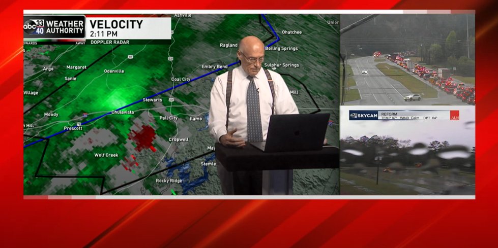
Birmingham meteorologist James Spann returning on-air after checking in with his wife after reporting his house sustained significant damage.
The composure he's managed to maintain is unreal.
Thankfully his wife is ok 🙏🏻
#Alabama#ALwx#wxtwitter#weather
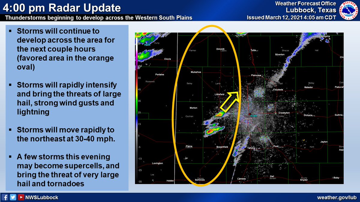
Storms are starting to develop across the western South Plains. This activity is expected to continue to increase in coverage and intensity for the next several hours, and likely persist through the evening as they progress northeast. #txwx#lubwx