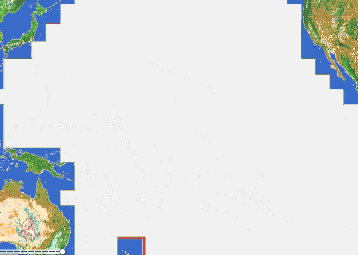
Heads up #EarthEngine developers, #Landsat Collection 1 will be removed from the catalog starting the second half of 2024. Get more information and a link to the migration guide if you still need to switch to Collection 2 👇https://t.co/nARw9NLegU
I'm excited that this important work on Mojave desert tortoise occupancy trends has finally been published. @AKissecol did a great job leading an amazing team. A special acknowledgement of the steadfast work and support of the late co-author Linda Allison. https://t.co/63NluFZYf5
I just deployed a web app that is serving cloud-optimized GeoTiffs directly from S3...no tiles, no backend, nothing. The kicker is I used the Esri JS SDK. Would love if this was possible through leaflet or maplibre, etc! ?Or is it already??
@gcamara @Mixed_Pixels @giswqs @inpe_mct @ResearchGate Using dask? Would love to see the code. In my experience the scheduler can’t handle that big of a load
The sunk-cost fallacy with respect to machine learning: "The model that takes the longest to fit is the best". Not so fast! Also see: "higher resolution satellite images are always better"
We are excited to announce the launch of the Overture Maps Foundation, a new collaborative effort to develop interoperable open map data to power mapping and location services worldwide.
Read the announcement: https://t.co/jWDvagRFzy
@OvertureMaps#Mapping#OpenSource