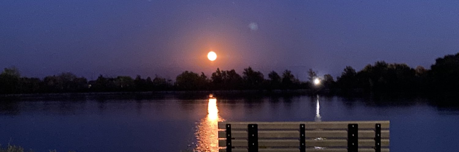
#BOGOTÁ | El río San Francisco amaneció cubierto de flores en el marco de la Bienal Internacional de Arte y Ciudad. Más de 100 personas participaron en esta intervención cultural en el Eje Ambiental con apoyo de Asocolflores y Flores de Colombia.
@Marcelasantos_n
https://t.co/woHMRjVE2M
Cosas que ha visto mi generación:
- 3 funerales de Pontífices
- La muerte de la Reina Isabel
- Una pandemia
- El regreso del fascismo
- El desastre climático
Cosas que mi generación nunca verá:
- La pensión
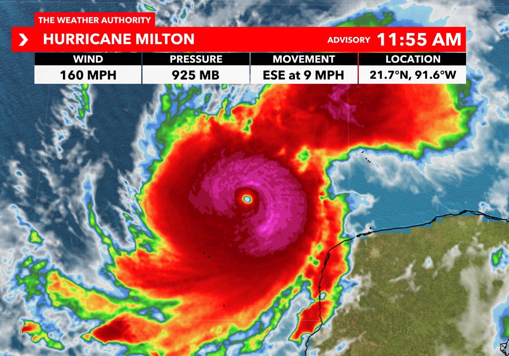
TROPICAL UPDATE: The potential is increasing for a tropical system to head towards Florida next week. Next name is #Milton. Here are my thoughts as of Friday:
1. More models and ensembles (possibilities) are jumping onboard to a potential tropical storm in the Gulf next week. Please note that some models do show a hurricane *IF* favorable ingredients can come together. Not all, but some do. I can't rule it out at this point. Shown below are model pressures of the potential system. Lower the pressure, stronger the storm. The green low pressures are comparable to a tropical storm, yellow low pressures comparable to a Category 1 hurricane. These models could flip-flop tomorrow or continue to show the same trend. Look for consistency, not just one model run.
2. From here, next up is it will likely be classified as an Invest at some point soon (an area we are investigating). More track and intensity models will be issued as a result. After that, a forecast cone could be issued if odds for development increase and a closed low forms Sunday into Monday.
3. Best way to think about it is that Florida will see a one-two punch. The first one will bring us rain Sunday into Monday with an area of low pressure along a stalled out front. Then, over already saturated ground, the 2nd and main punch in the form of a potential tropical system approaches on Tuesday with primary impacts Wednesday. It will start to rollout by Thursday.
4. It hasn't formed yet and still too early to talk specific impacts for any possible surge, wind, etc. We do have a rainfall forecast in Southwest Florida of 4 - 7" on average Saturday - Thursday. Isolated 8"+ in spots. That forecast, which is subject to change, is highly dependent on track.
Of course after Helene this is the last thing we want to deal with. I agree! Remember that every storm is different to a certain degree and the impacts that they bring. You're in good hands though. I'll keep giving you daily updates that you can trust without the hype. I'll always be real with you on the situation. Make sure to tune into WINK News for the latest. - Matt