Product Manager of Spatial Data Infrastructure ⌖ Esri's Open Platform Team | geographer | geospatial collaboratives put FAIR and open data to use for good
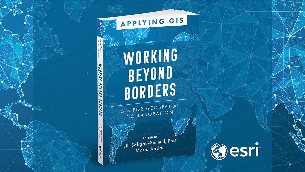
I am so excited to share how governments, industries, and others worldwide use GIS to interconnect and collaborate on the most critical issues of our time. Check out our new book, "Working Beyond Borders: GIS for Geospatial Collaboration." #EsriPress#SDI
Imagine the scope of designing the first underground railway under a fast-growing city? Read how Brisbane, Australia used a geospatial digital twin for more efficient planning and construction of a massive rail project. https://t.co/JnpVzwFhXd
Discover, celebrate, and explore all things GIS on November 15, 2023. Showcase its many uses to your community and spread enthusiasm for GIS, mapping, and the sense of place that geolocation gives us. https://t.co/Ozk3PpLiUJ
Learn how to prepare and share GIS open data with OpenStreetMap data in ArcGIS. This four-step process, including a link to import guidelines, specifically gives you the steps you need. https://t.co/7jLGyBKbIU
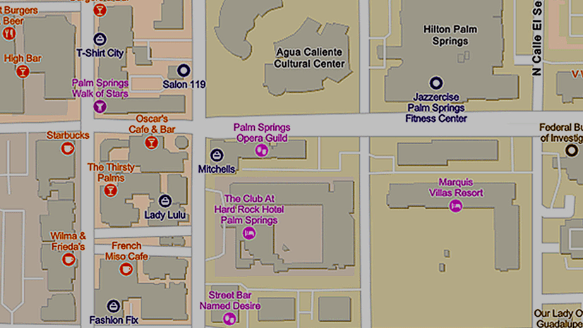
The Places service is a new and valuable ArcGIS Platform capability providing developers with a ready-to-use option for incorporating richly attributed, global points of interest (POI) data into their custom applications and solutions. Here's an overview: https://t.co/lS2aPMteu8
Over ½ of the world’s population will live in cities by 2050.
Learn how 4 cities are using a geographic approach and @Esri tools to address #climate challenges and create resilient, sustainable communities.
Explore the #GrowingGreenCities collection 🏙️ https://t.co/iNM8g7Eg4s
Celebrate #ClimateWeek by learning how you can use #GIS to take positive action to address our changing #climate. Join Esri's new (free) MOOC opening on October 25.
🌱Register → https://t.co/ZMVDXAG3F1
How do you communicate the effects of sea-level rise and tidal flooding? George McLeod chats with the StoryMaps team about how he used GIS to help the state of Virginia craft a master flood plan. https://t.co/XpEF21Lmwy
Learn how to use ArcGIS for Excel to map the locations of accessible crosswalks in Singapore using data from the Singapore Land Transport Authority. https://t.co/qrDGHzsEK0
Stunningly REUSABLE and READY-TO-USE data layer! The #USGS and partners National Hydrography Dataset Plus High Resolution, the most detailed map of US waters you've ever seen, is available for your reuse today. #NSDI#FoundationData https://t.co/Y1vo55JkBS
With a clear understanding of climate hazards and vulnerabilities, governments and businesses can make risk assessments and strategic plans for mitigation and adaptation. Here's a checklist. #Esri https://t.co/gqddDTMRBM #ClimateWeekNYC
What is purpose-driven #collaboration, and how do we achieve our common goals? Join our esteemed panelists at the #EsriUC23 Éamonn Clinton, Megan LaMade Compton, Jonathan Holt, MBA, Thembi Xaba (PhD) in a lively conversation about…https://t.co/72J54EzOG5 https://t.co/65R18DXo2M
Spatial Data Infrastructure (SDI) focused agenda @ the Esri UC 2023.
The Esri User Conference (Esri UC) has many presentations and events with hundreds of topics covered. To help you find your way to SDI-related sessions and even…https://t.co/t6JToVozFR https://t.co/k2uYiBn2TN
Join Esri’s Tim Fella, as he discusses the critical role of partnerships in his presentation, “Covering the SDG Data Alliance Country Implementation Approach and The Esri ArcGIS Solution for the #SDGs.” Tune in on May 4 at 0930-1130 to learn more. #GWF2023 https://t.co/5UqEHDuMyN
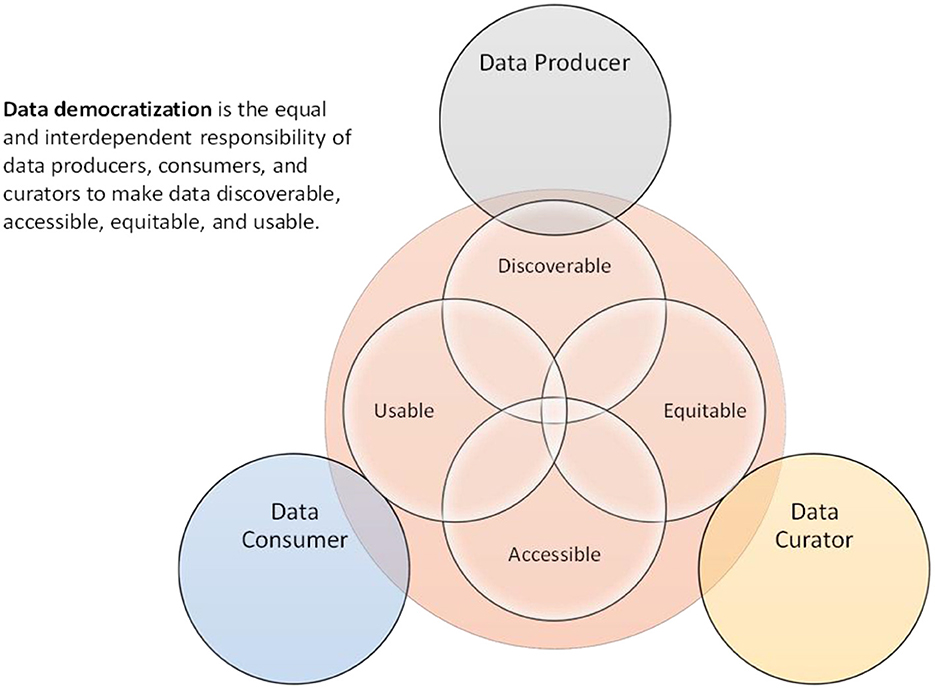
New editorial in Frontiers in Climate highlights the importance of data democratization for environmental data to be discoverable, accessible, equitable, and usable. https://t.co/MW2Wz7XE2c @usioosgov@Esri