Tropical Depression Four has formed in the Atlantic just east of #Bret. Should turn NW around a weakness in a high pressure ridge and encounter weakening shear next week. #WECTwx#ILMwx
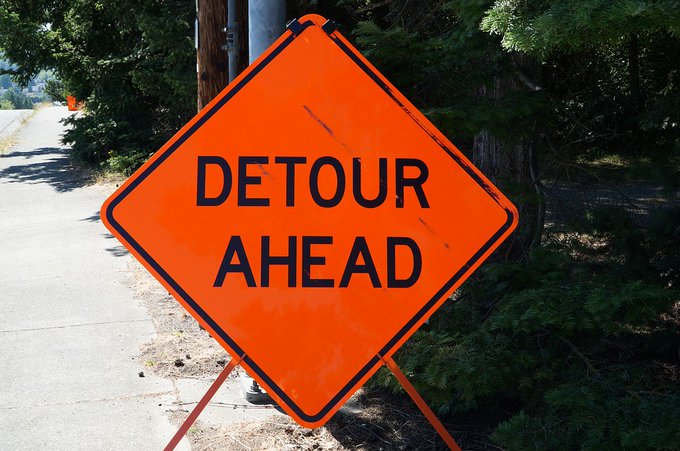
HEADS UP #WILMINGTON 🚗 An exit off the Cape Fear Memorial Bridge will temporarily close for construction to the railroad crossing nearby.
The exit onto Front Street will be closed Feb. 27-March 1.
More details can be found here: https://t.co/Oy6SYJv0ZA
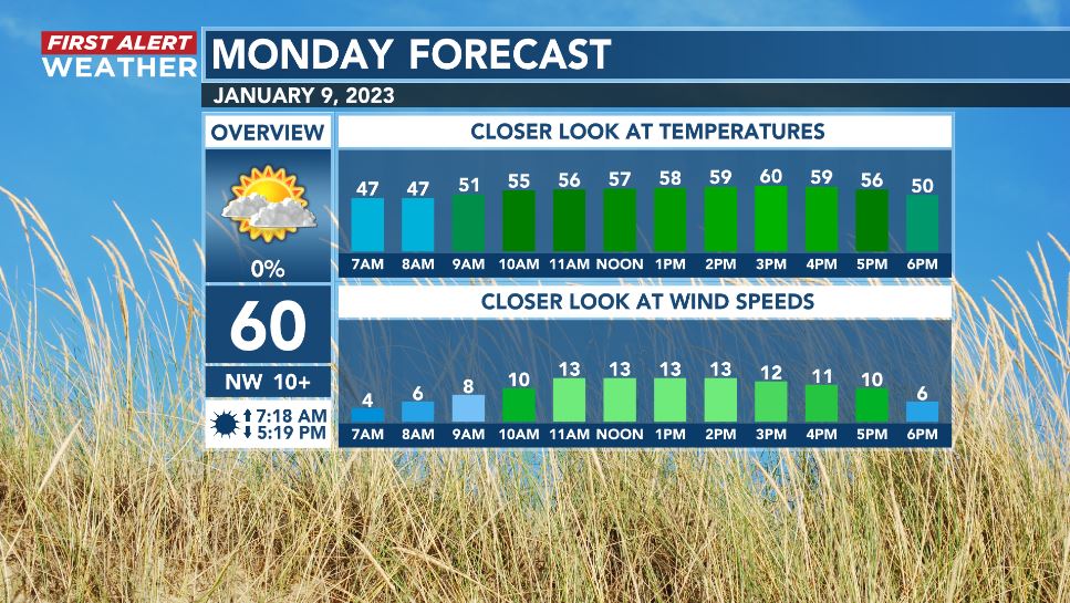
Back on the plus side of ten hours of daylight this Monday! Expect dry and gradually clearing skies, brisk breezes, and seasonably cool temperatures. Have a good one!
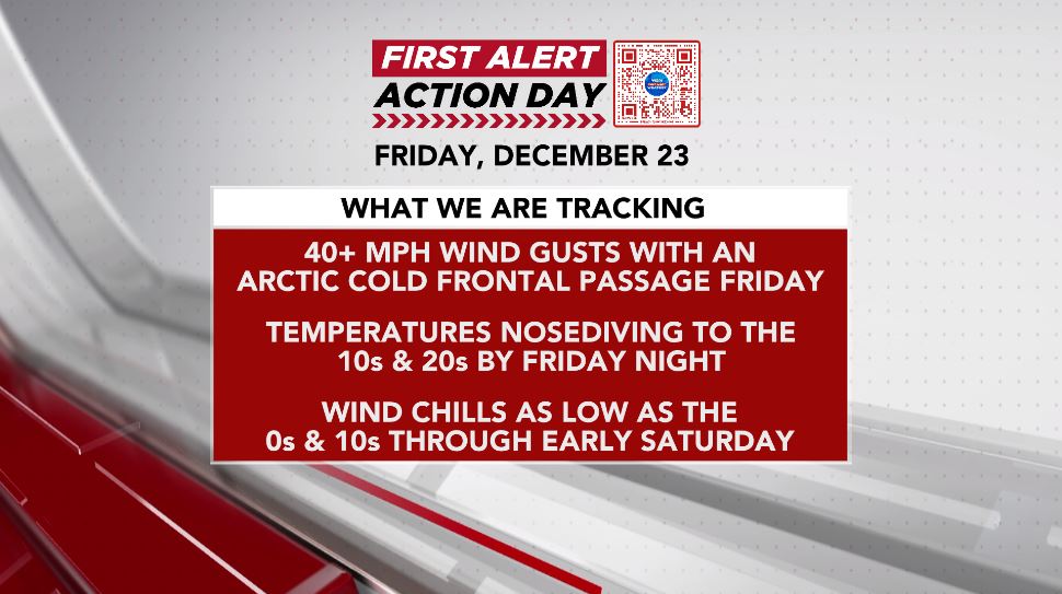
With showers and storms, coastal flooding, and some good cold prep time Thursday, that first First Alert Action Day answered the bell. Now, to the second! Make sure your inflatable Santa is deflated and secured... and bundle up!
- @TVsGabeRoss
- @ericdavisWECT
- @clairefrywx
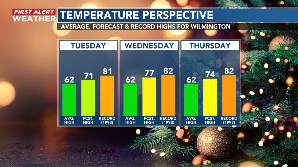
Temperatures are headed toward and into the 70s for the next two to three days - well above the average high of 62. The records are all in the 80s and all established during the famously toasty December of 1998.
Early this Wednesday, ocean showers are angling for the Crystal Coast. Meanwhile, more widespread showers in the Sandhills will overspread most or all of the Cape Fear Region in the next few hours. This is the one day of this work week I will recommend an umbrella.