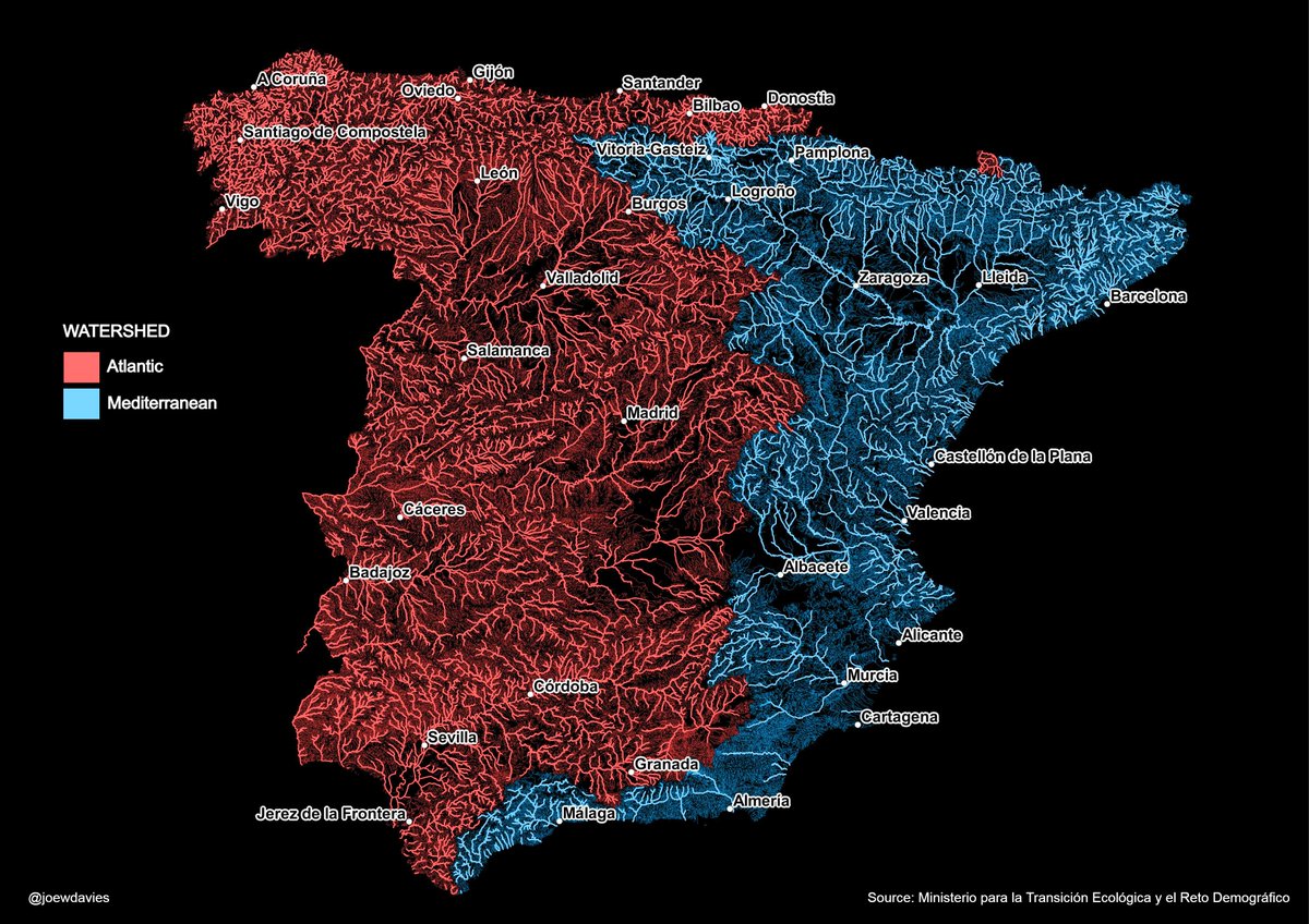
Watershed map of mainland Spain showing the rivers that flow into the Atlantic and those that flow into the Mediterranean.
Data: @mitecogob#spain#hydrology#watershed#map
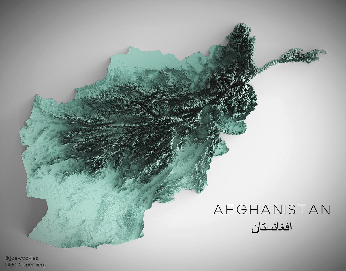
For anyone interested in learning to make 3D relief maps in blender: I've written a short tutorial that hopefully will be helpful: https://t.co/GiBStNH3gH
#gischat#blender#gis
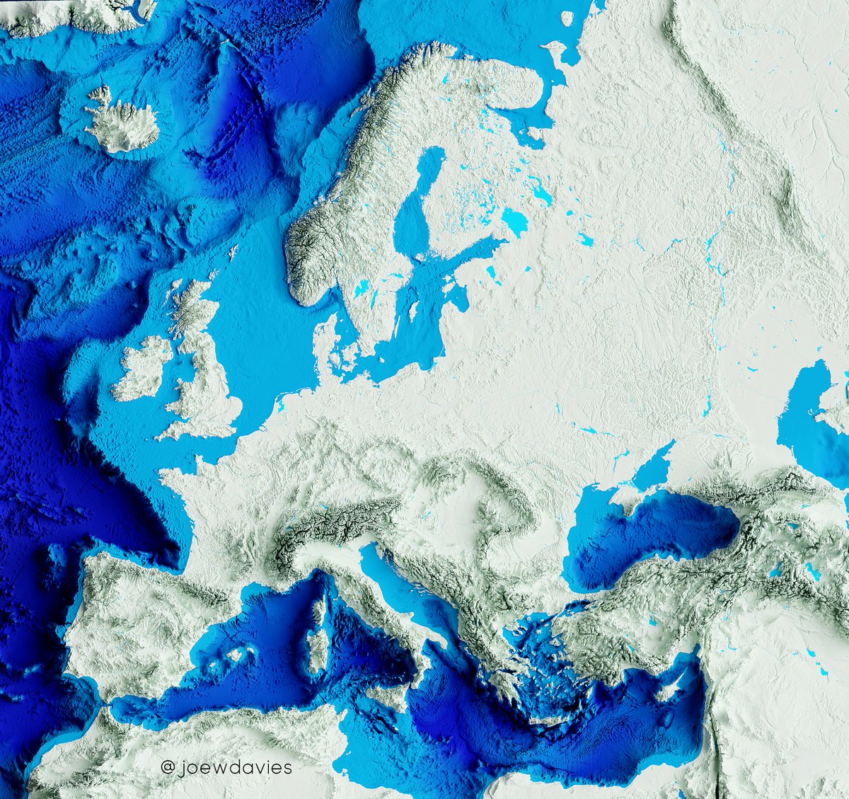
Had a go at animating a shaded-relief map of Europe in Blender.
The animation progressively adds then removes 3D relief to the map.
Inspired by @geo_spatialist.
#blender#gis#dataviz#europe
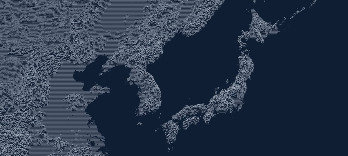
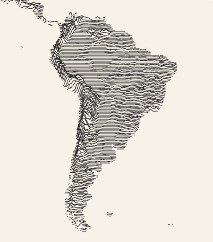
Just stumbled upon this really cool website made by @anvaka that shows elevation as ridgelines for anywhere on earth! https://t.co/tg9WaJxgNc
Big fan.
(shame about web mercator, but you can't have it all!)
Las carreteras 'principales' de España peninsular, Ceuta, Melilla y las Baleares (lo siento Canarias es que no me da tiempo).
El mapa muestra todas las carreteras que sean del tipo "motorway", "primary", "secondary" o "tertiary" en @openstreetmap#espain#mapassincanarias#map
World elevation map, including bathymetry (ocean floor). Rendered using a Blender.
Highest point (Everest): 8849m
Deepest point (Mariana Trench): -10984m
Full resolution here: https://t.co/8OFx816WFm
#b3d#GIS#maps#worldmap#blender#bathymetry
Earthquakes from the last 30 days above 2.5 magnitude.
Height = Magnitude
Red = Significant (>500 sig)
Blue = Potential tsunami
Significant is determined by magnitude, maximum MMI, felt reports, and estimated impact. More info: https://t.co/D26gKDw3Bx
#30DayMapChallenge
#30DayMapChallenge: Movement.
A map that moves counts as movement right?
Here's an animation I made for the @EU_Eurostat digital regional yearbook using regl.
It shows a 5km² population grid of Europe being rolled out, then groups the cells according to their populations.
#30DayMapChallenge#Day12: Map not made with GIS software.
Had to recruit the help of an expert (@laura_GV_) for this one...
Map of typical foods found in each Spanish region (siento no haberos incluido Canarias, Baleares, Ceuta y Melilla)