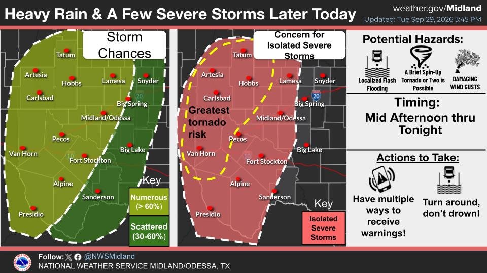
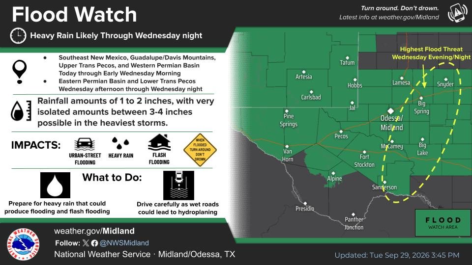
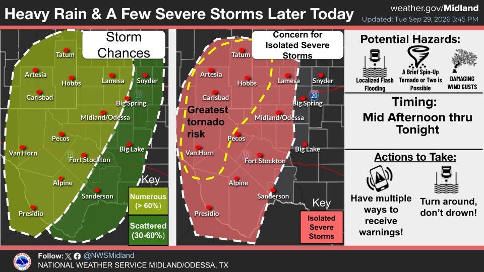
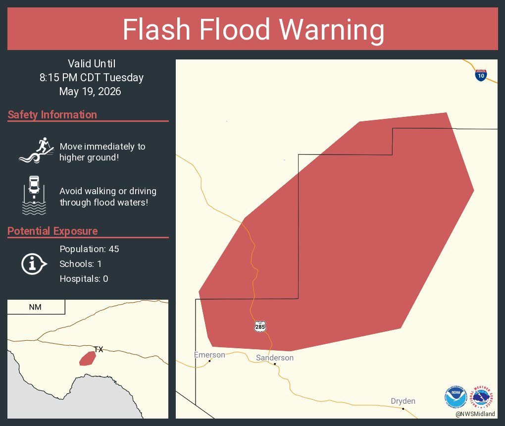
Showers/storms will spread over much of W TX & SE NM late this afternoon thru tonight. Deep moisture associated with the remnants of Polo will bring potential for heavy rain & flash flooding along with a few severe storms. The severe/heavy rain threat shifts east Wed. #MAFwx
EMERGENCY: A dangerous flood wave on the Pedernales River is moving past Fredericksburg, TX downstream toward Johnson City, TX. The river gauge jumped from 31 feet to over 37 feet. Anyone near the river must move to higher ground immediately. Source: NWS, valid to 4:30 PM.
UVALDE COUNTY, TX UPDATE: Local officials confirm at least half of Highway 90 has completely washed out over Dinner Creek, just east of Knippa. This major infrastructure failure is part of the ongoing flood disaster. Do not attempt to travel in this area. Source: NWS
Immediate Evacuation orders has been issued along the Pedernales River near Fredericksburg, Hye, Johnson City, & Harper. If you are near the river leave immediately if you can!!
Another day of heavy showers with a few storms is in store. Multiple rounds of heavy rainfall with already saturated soils will lead to flash flooding for some locations. Greatest concern of flash flooding remains for areas along and south of I-10. #txwx#nmwx
A few storms have already developed in the highlighted area and we will continue to monitor for additional development this afternoon. Be weather aware as a couple of these storms may become strong! #txwx#nmwx
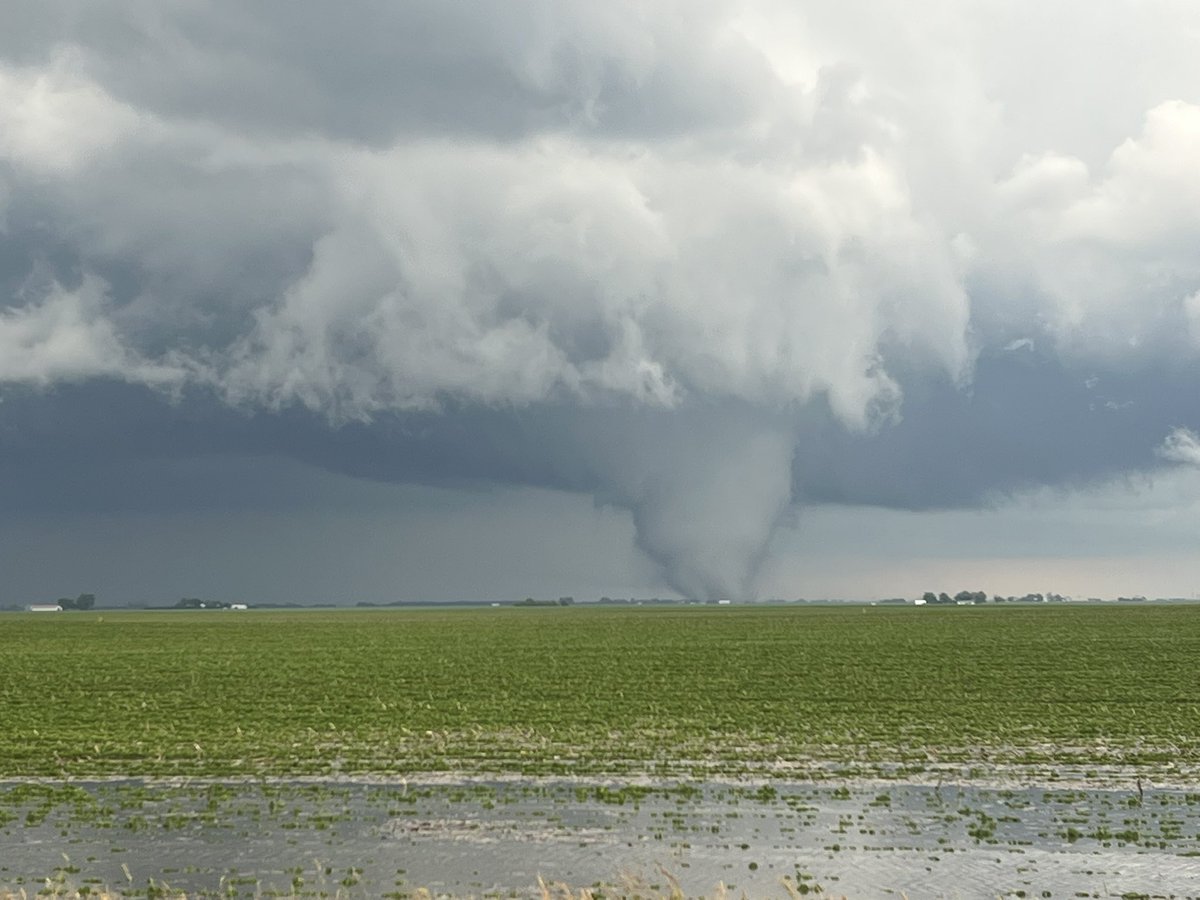
Great shot from Taylor in Hopkinsville, KY! An impressive shelf cloud structure captured as a tornado-warned storm moves through the area. We're monitoring this closely. Stay safe! #KYwx
Roofs ripped off homes in McHenry County IL as tornado-warned storms and 70 mph winds strike the Chicago suburbs and southern Wisconsin right now. We are tracking these destructive cells live. Tune in:
https://t.co/iqs8ou973I
ON THE GROUND near Mount Vernon, IL. Incredible footage from Jeremy showing a large Scud clouds / low-hanging cloud base in the distance. If you're in Jefferson County, IL — take shelter NOW. #ILwx#Scud clouds / low-hanging cloud base
Squall line tearing through Illinois right now with tornado threat building across MO/IL/IN as the afternoon severe window opens. Storms score at 101 and climbing. EF2+ tornadoes possible. We're LIVE tracking every cell.
https://t.co/IJvaCVSyzZ
The latest update from the SPC has been moved much further south given the northern side was heavily affected by the morning convection.
Central Illinois and Central/Southern Indiana will be the main area to watch this evening for strong to intense tornadoes.
🚨 The most likely area for a major severe weather outbreak today is around Indianapolis, IN, Springfield, IL, and Decatur, IL. This is a Level 4 of 5 risk. We're tracking a dangerous setup for tornadoes and 75+ MPH winds late this afternoon. Have a plan ready!