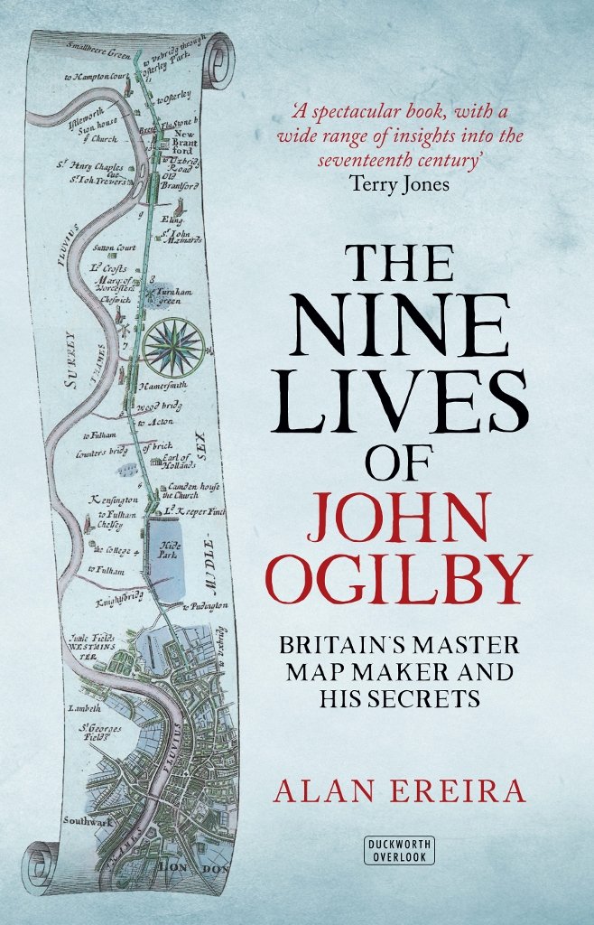
Let’s start with some book recommendations. First, Alan Ereira’s 2016 biography of one-dimensional mapper extraordinaire John Ogilby (in which you’ll learn that his state-funded magnum opus “Britannia” was part of a plot for the French to invade England via Aberystwyth!)
It was an honour to have a 1D map from my collection feature in an @underware talk last year at @ATypI Copenhagen. The video of the talk has just been published.
https://t.co/oa1pFsMEvs
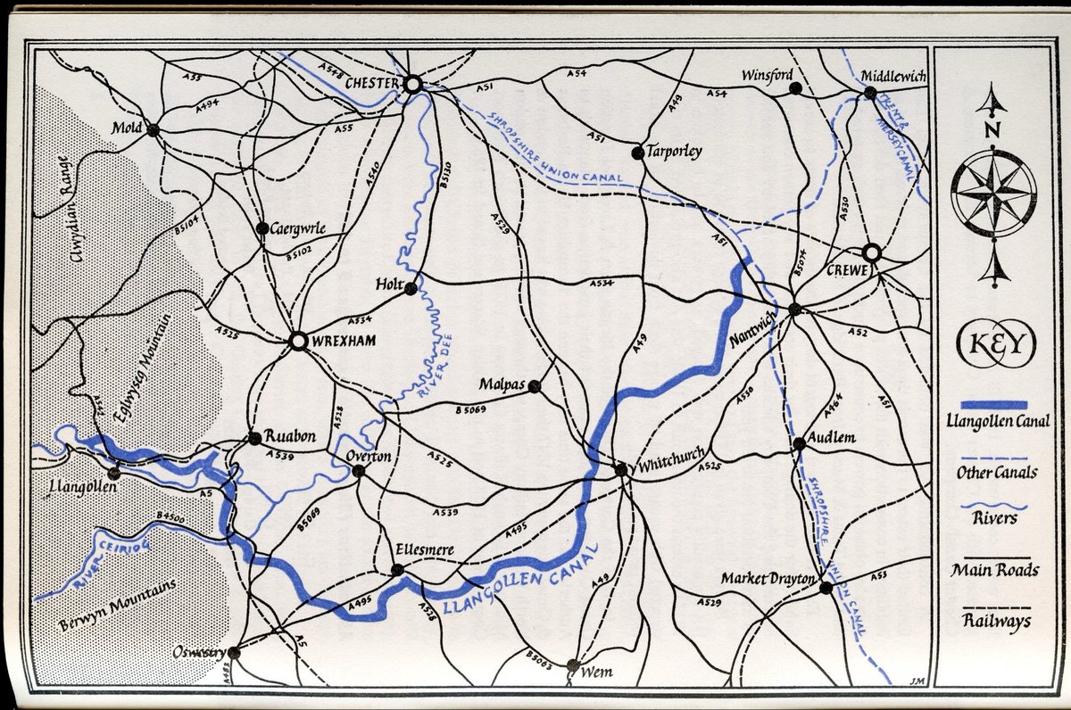
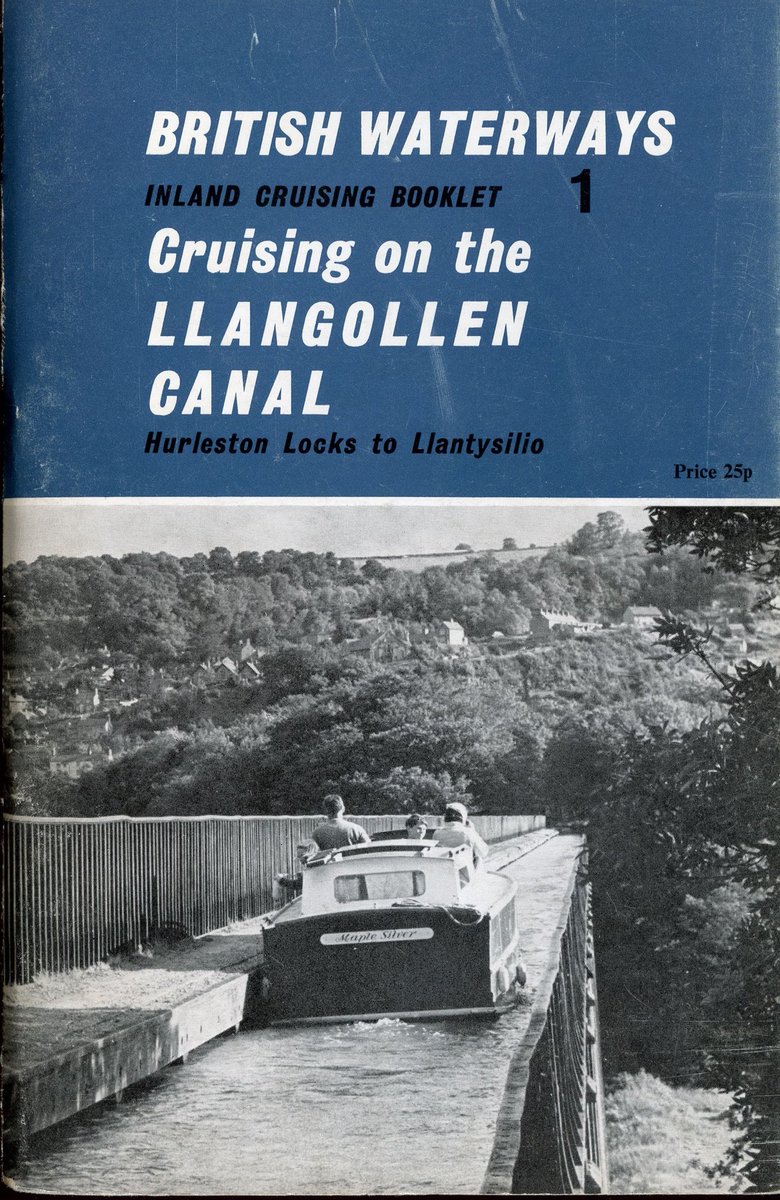
The map was from British Waterways Board’s Cruising Guide to the Llangollen Canal (1970). It presents the wiggly canal as a straight line, resulting in a clear and beautiful layout.
A remarkable 19th-century tunnel book that brings the Rhine Valley to life, masterfully creating an illusion of three-dimensional depth and vast spatial distance
清明上河图 (Along the River During the Qingming Festival, 12th century), the painted scroll sometimes called China’s Mona Lisa, has been brought to life digitally before, but AI is taking it to another level 👏
Here's another receipt printer #map; this time of the Boston Marathon and contained in an enduro route sheet holder. (Thanks Eric Seitz for the suggestion). The map includes distances, landmarks, uphill segments, and more.
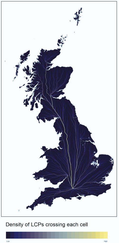
Natural terrestrial corridors from across Britain to Stonehenge*
* not to be taken too seriously - mainly for fun, e.g. does not incorporate rivers, assumes that movement optimised for reducing energy expenditure
I'm fascinated by this 1948 Tour de France postcard collection which, when laid out, marks the entire route of the race that year. Has anyone seen anything like this before? @inrng@davidguenel
Rob Durkin @vectorchap is to be credited for “Discover London above the Piccadilly Line” from 2015. He’s also done posters of the Victoria Line, the Overground and the Thames in this style https://t.co/BQWUONuQyo
I’d love it! I took a photo of one in its natural habitat in 2013, so they aged well. It features as part of my #1dmaps collection. RT and reply? Tough call but ok!
@globalvisioninc @lulupinney @eyemagazine Frank Jacobs @VeryStrangeMaps wrote about the “Above Ground 2050” map in 2010. Worth a read despite slight bit-rot! https://t.co/ys0Nwf0nDs