Are you using a laser scanner to capture buildings? Watch our CTO explain how NavVis software transforms point clouds into fully immersive, web-based 3D buildings:
https://t.co/1VsRPcgajx
#laserscanning#pointclouds#BIM
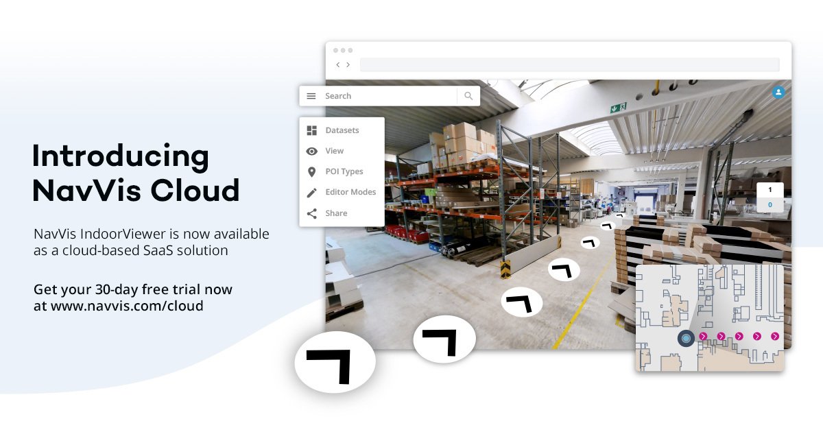
Introducing NavVis Cloud: Laser scanning professionals can now convert point clouds into interactive, fully immersive 3D buildings online!
#laserscanning#BIM#PointCloud
https://t.co/EufqbY5TIS
NavVis Cloud is here! Our flagship software NavVis IndoorViewer is now available as a cloud-based Software-as-a-Service solution. Sign-up now for your 30-day free trial: https://t.co/uPTn3mxUZq
#laserscanning#pointcloud#BIM#Cloud#SaaS
Check out the interview w/our Senior Product Manager in @NewOnGISCafe to find out how the latest feature makes NavVis IndoorViewer fully compatible w/static laser scanners & why this matters for everyone working w/point clouds: https://t.co/NH0drwvzqd
#pointcloud#data#bim
Reality capture, revolutionized: NavVis M6 brings data quality in indoor mobile mapping to a new level. Find out more: https://t.co/z8yiM4hgav
#Laserscanning#BIM#M6