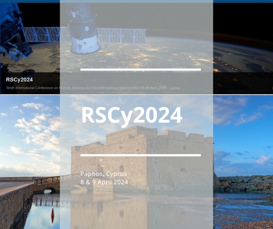
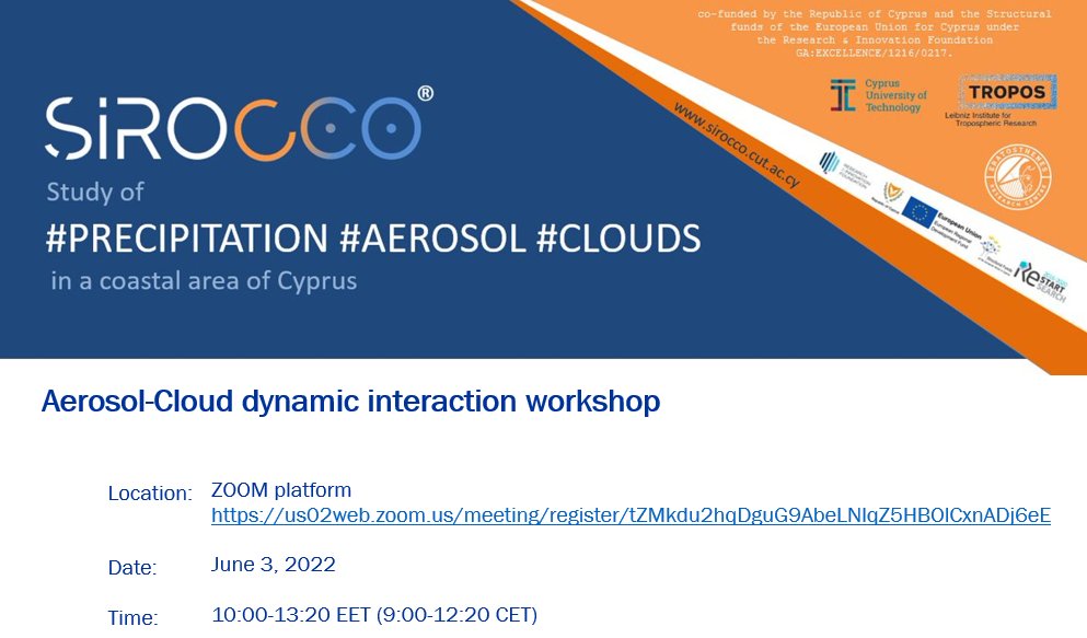
📣 Don’t miss the chance to participate in the upcoming #RSCy2024 Conference to network with experts in the field of 🛰 Remote Sensing and #Geoinformation:
📅 10/03/2024 @ 14:00, abstract submission deadline
📅 8-9/04, 2024 #Paphos#Cyprus
👉https://t.co/dCCzMF8pYk
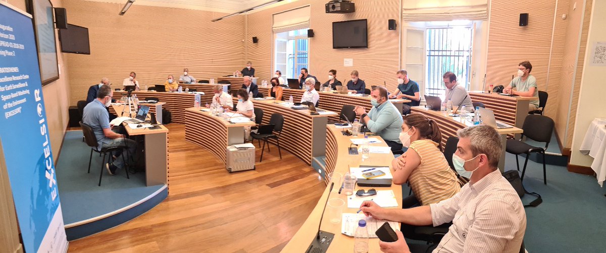
✨ Yesterday was a long and productive day, but we made it through our Second Review meeting!
🛰 Thanks to everyone involved and especially EXCELSIOR project partners, External Advisory Board and Board of Directors for their continuous support!
🔵 Our team participated online and in-person at the #EGU22 and #vEGU22 that took place last week hybrid in Vienna
🛰️ Dr Silas Michaelides participated as a session convener
🛰️ Highlights from the presentations of our members Maria Prodromou and Eleni Loulli, below
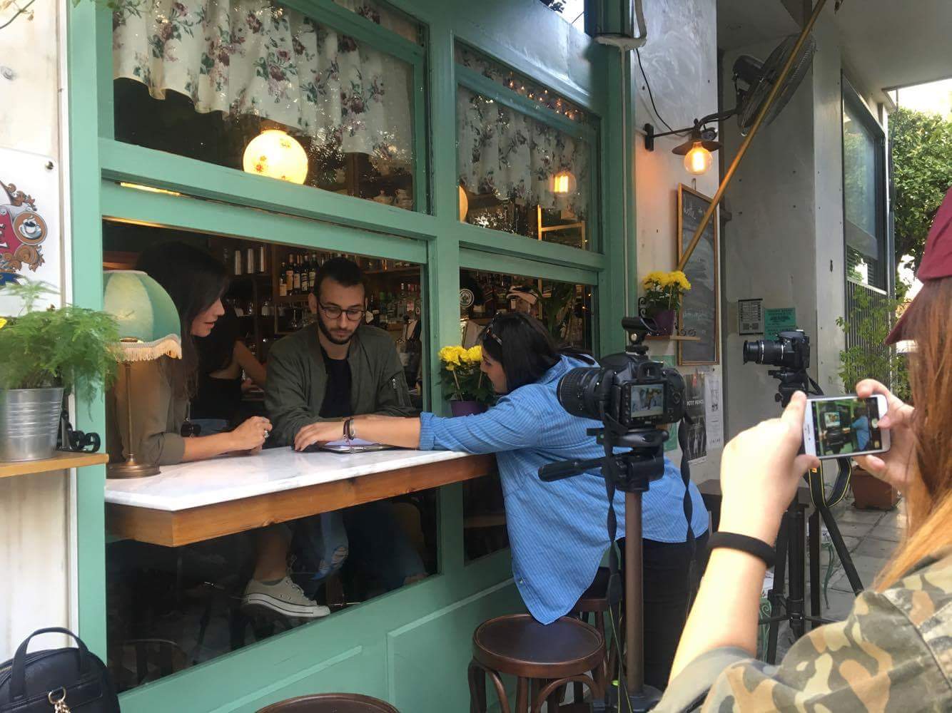
Premiere at #LPS22 - now available for everyone to watch! Our brand new video on #WomeninCopernicus
📺 https://t.co/y728QhhfbD
Still speechless on how many joined the session on cultivating an inclusive Future in #RemoteSensing & #EarthObservation. We are not alone. We are many!
Today I presented my research on the Implementation of the Forest Canopy Density (FCD) model for Coniferous ecosystems in Cyprus forests, using #landsat and #sentinel2 satellite data at EGU General Assembly #EGU22022.
https://t.co/90cG7GsXdz
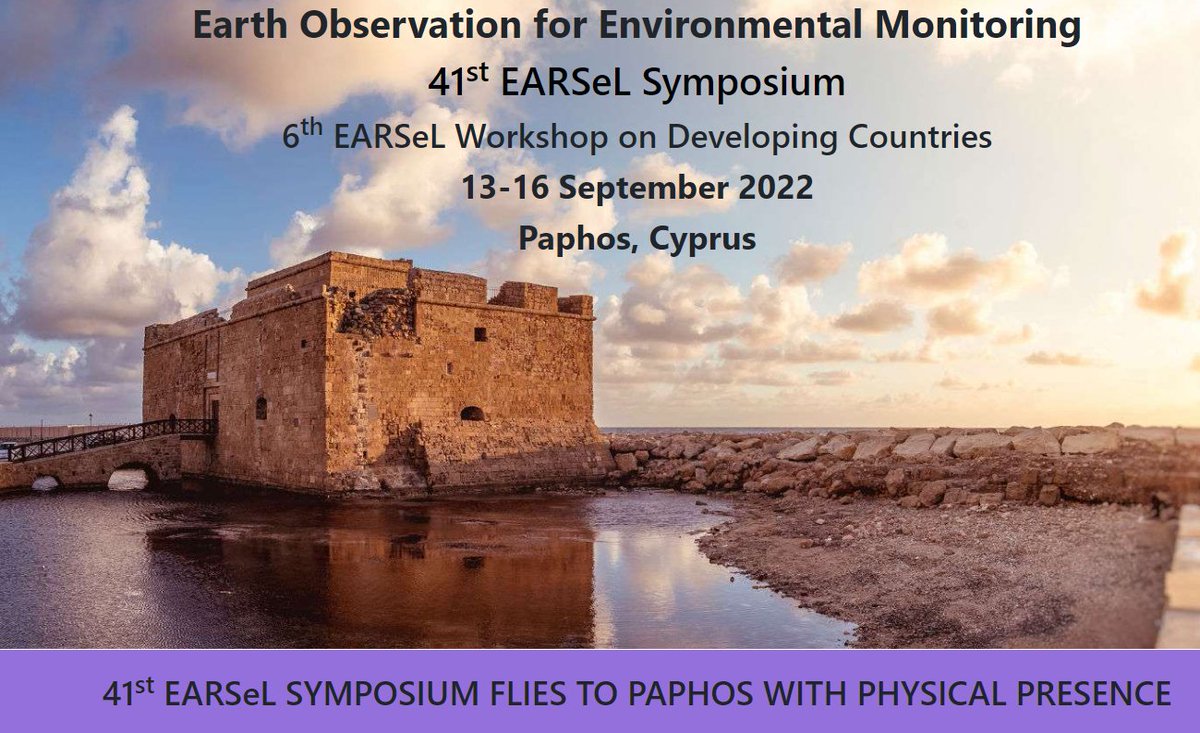
📣 We are excited to announce that the 41st EARSeL Symposium will take place in Paphos with physical presence in September!
🌍 Looking forward to meeting you there!
--------------
👥 Info and registration at ECoE stakeholders’ workshop (free of charge): https://t.co/cZoloCuH5U
📣📣 Good news!
👉Final extension for EARSeL 41st Symposium abstract submission: May 9, 2022
📡 We are looking forward to your abstracts!
ℹ️ https://t.co/zBi2cYjSxc
📻 On March 11, the researchers of our team Eleni Loulli and Despina Makri were hosted by Logos radio to talk about our activities
**Interview in Greek**
🖱️ The interview can be accessed here: https://t.co/Fp4LHiBF4H
☕ Αυτή την Πέμπτη ο απογευματινός σας καφές είναι κερασμένος.
➡️ Σας περιμένουμε για να συζητήσουμε για τα δεδομένα Copernicus και πως αυτά μπορούν να χρησιμοποιηθούν από το ευρύ κοινό.
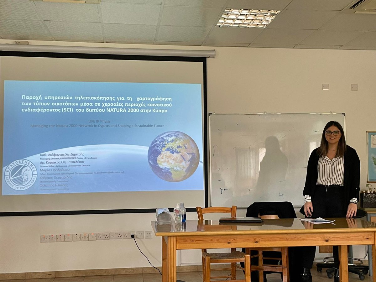
🛰️Today, members of our team gave a training to officers of the Department of Forests, in the framework of services provision by the @ERATOSTHENESCoE for the mapping of types of #habitat within Sites of Community Importance (#SCI) of the #NATURA2000 network in Cyprus using #GEE
🛰 Invited talk by Dr Mark Parrington
💡 Title: "The role of Earth Observation data in the Copernicus Atmosphere Monitoring Service for atmospheric composition and air quality"
🗒️ Tuesday, March 15, 2022 at 11:00 EET (09:00 UTC)
✍️Registration required: https://t.co/AXaoUwMjCA
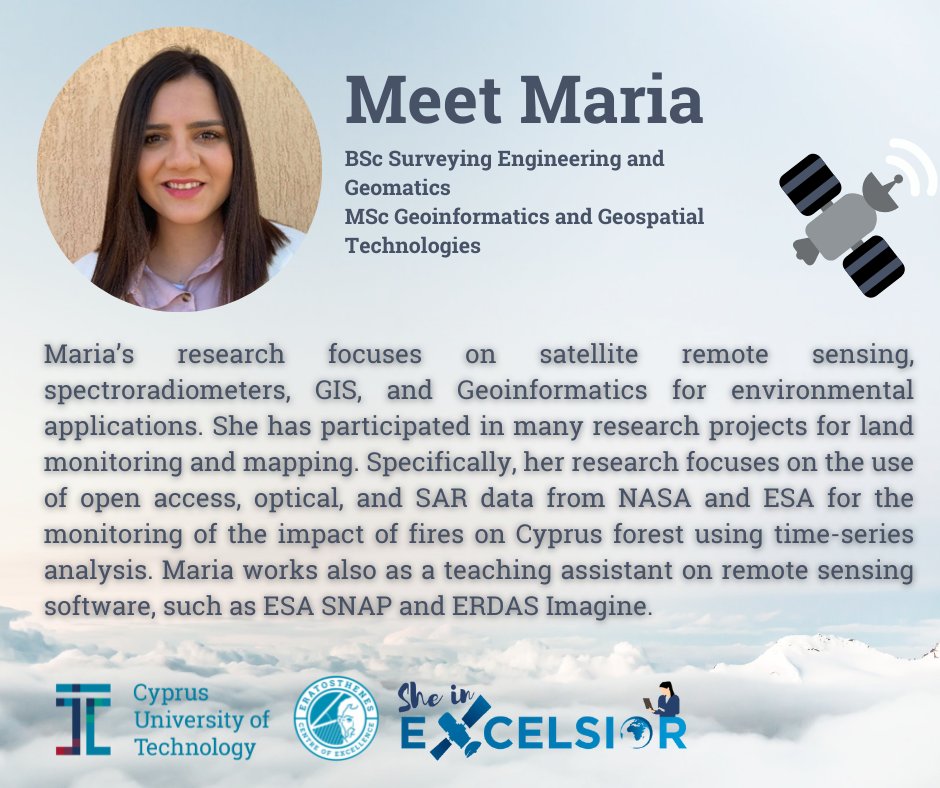
🌟 On the occasion of the International Day of Women and Girls in Science, we dedicate our feed to the powerful women of our team!
✨ Let us introduce them to you ✨
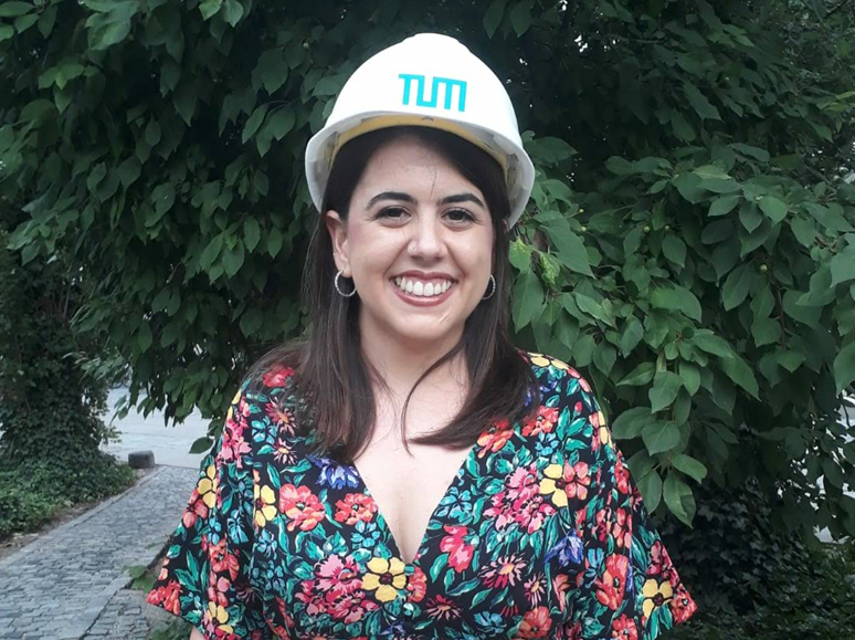
🦸♀️ Meet Maria (@mapro1993)
#February11#WomenInScience#EqualityInScience
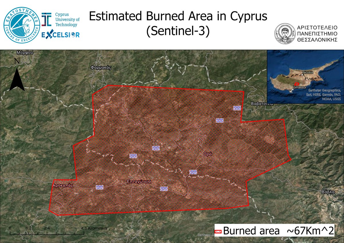
First assessment by the Eratosthenes Centre of Excellence for the catastrophic fire in Cyprus. The Sentinel-3 low-resolution satellite imagery was used to estimate the burned area. The estimated burned area is 67 Km2.
@CopernicusEMS@ERATOSTHENESCoE@CyUniTech@mapro1993