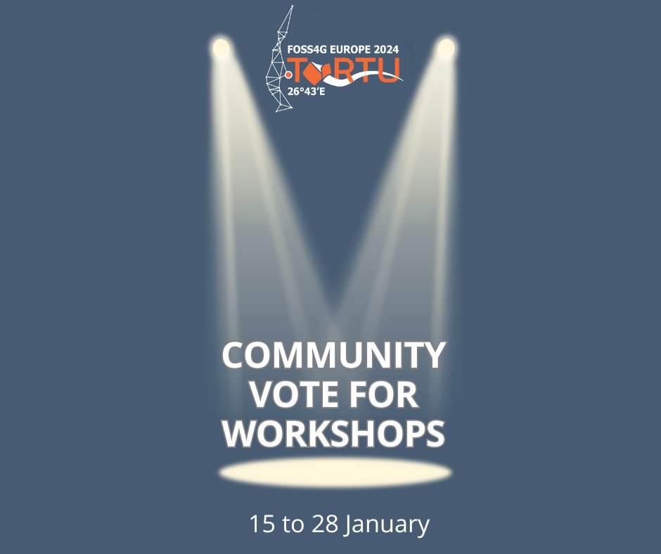
We are extremely happy to open the community vote for the 37 submitted proposals. 🎊
💭 You can cast your opinion here before 28 January: https://t.co/cXv6VvZdys
The community vote is essential for assigning rooms and capacity planning during FOSS4G👥
Happy voting!
No plans for the weekend? How about submitting a workshop proposal for the FOSS4G Europe 2024 conference? There's still time, but only until Sunday, 14. January (end-of-day).
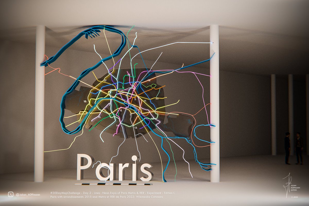
Paris' transport network neon art, experiment and behind the scenes from the #30daymapchallenge. Made in #Blender3d, rendered in Cycles. Which city would you like to see next? #gis#dataviz
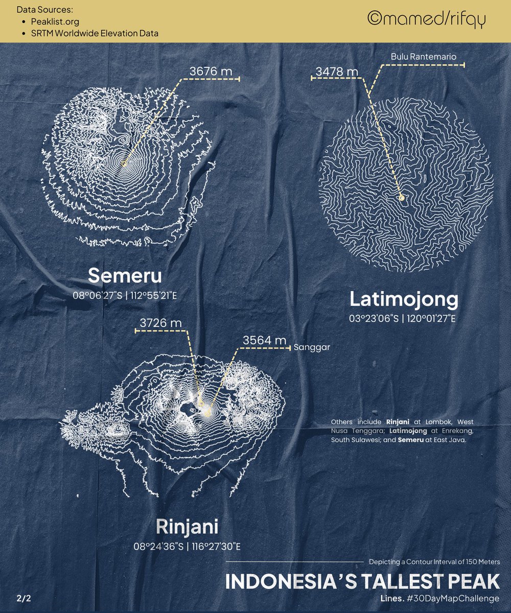
#30DayMapChallenge | For day 2 (lines), I created this #map. Indonesia's Tallest Peak. Created by using QGIS, and Canva. The data sources were extracted from https://t.co/yitnKsaBoR and SRTM Worldwide Elevation Data.
Learn something new today!
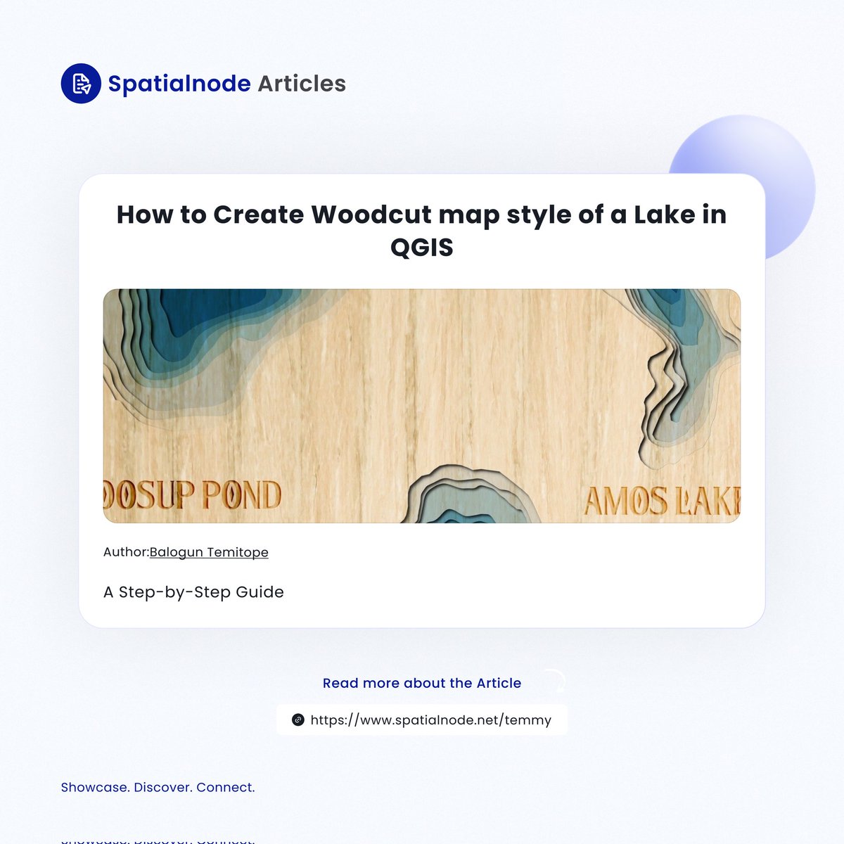
In this detailed and hands-on article guide by @MapCarton, learn how to create a woodcut map style in QGIS.
As you read this, ensure to practice; that is one sure way to learn!
Read here: https://t.co/gJcchS53CQ
#QGIS#map#cartography#geospatial
mappyfile is now an official #OSGeo Community Project! https://t.co/JcN5bsDhcL To celebrate a v1.0 release is now out - see release notes for details https://t.co/OSkPWsGq9N #mapserver#python#foss4g
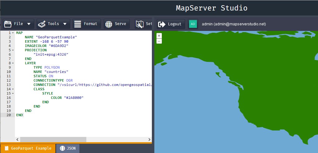
📣 Just deployed a new update - the editor now supports code-folding for Mapfiles. Enjoy a better coding experience with this handy feature! #Mapfiles#MapServer