MAPSS's synergistic partnership with Digital Earth Africa equips conservation organizations with geospatial tools and earth observation data to protect and manage national parks
Read more about the initiative here: https://t.co/pUUpCcivP9
#conservation#africa#earthobservation
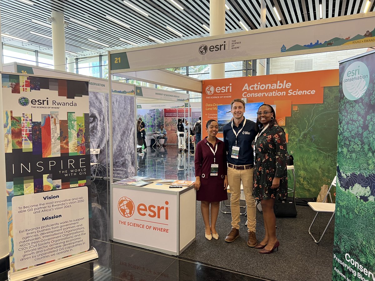
We’re excited to announce that we’ll be presenting at Esri's GIS for Good Seminar in Geneva, Switzerland, on 30th – 31st October 2024!
For more details, visit the event page here- https://t.co/eMbFoXlz08
#GISForGood#Sustainability#Conservation#ConservationTech
🫵 Your guide to entering the 2024 ArcGIS StoryMaps competition
🌱 Tell the world about how you're using innovating technology to solve our most pressing conservation challenges.
🔗 https://t.co/01DG95zEfh
In partnership with @Esri_Conserv@ArcGISStoryMaps
Observations of an iNaturalist 🐦🐿️🌿
Your love of nature, data, and #GIS can support important science globally through the @iNaturalist app and NEW data set in Living Atlas.
Explore the articles, stories, and apps in this month's #StoryScape: https://t.co/U2V2XfiPAM
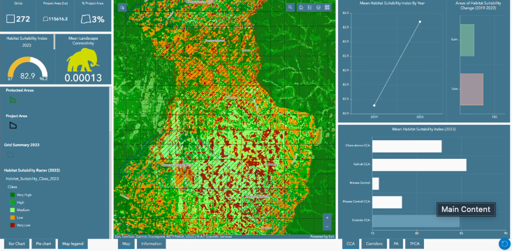
Esri's ArcGIS conservation solutions are designed to offer powerful operational capabilities, support informed conservation land management decisions, & more!
Learn how you can optimize your toolset for protected area management 🔧 https://t.co/D5eNra6AfB
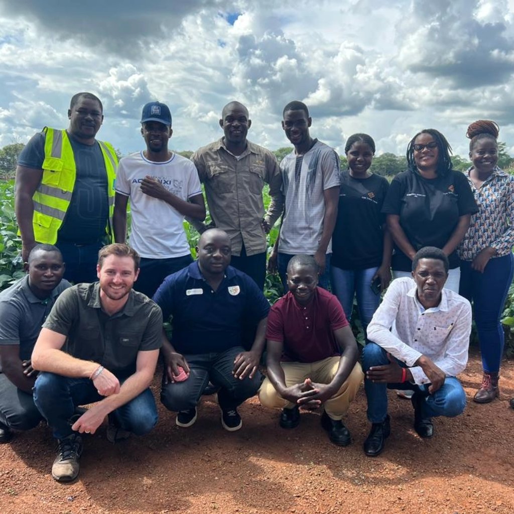
We were honoured to host representatives from Tanzania National Parks at MAPSS for an in-depth presentation on how geospatial technology can help reduce human-wildlife conflict and support conservation efforts through tracking wildlife movements and identifying areas of conflict.
We’re proud of Babanango Game Reserve's remarkable achievements.
Our role in implementing @Esri_Conserv technology has empowered the reserve to efficiently monitor and manage its conservation efforts.
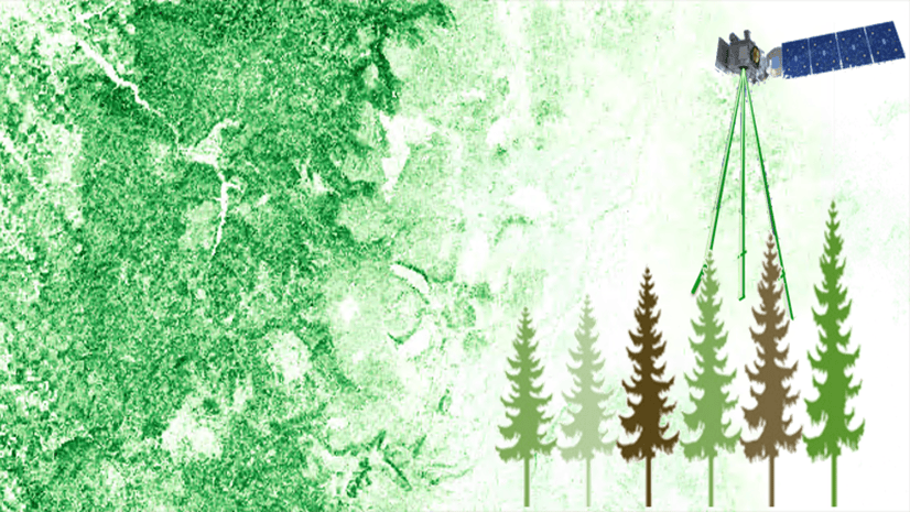
Aboveground biomass is a crucial ecological variable for understanding the carbon cycle and assessing ecosystem productivity.
Explore how to map aboveground biomass: https://t.co/uGGeDgapOf
#remotesensing#biomass
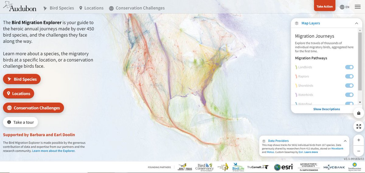
Happy #NationalBirdDay! 🐦
In celebration, check out @audubonsociety's Bird Migration Explorer - a great way to explore the heroic journeys made by over 450 bird species: https://t.co/bKqVzm3WRd
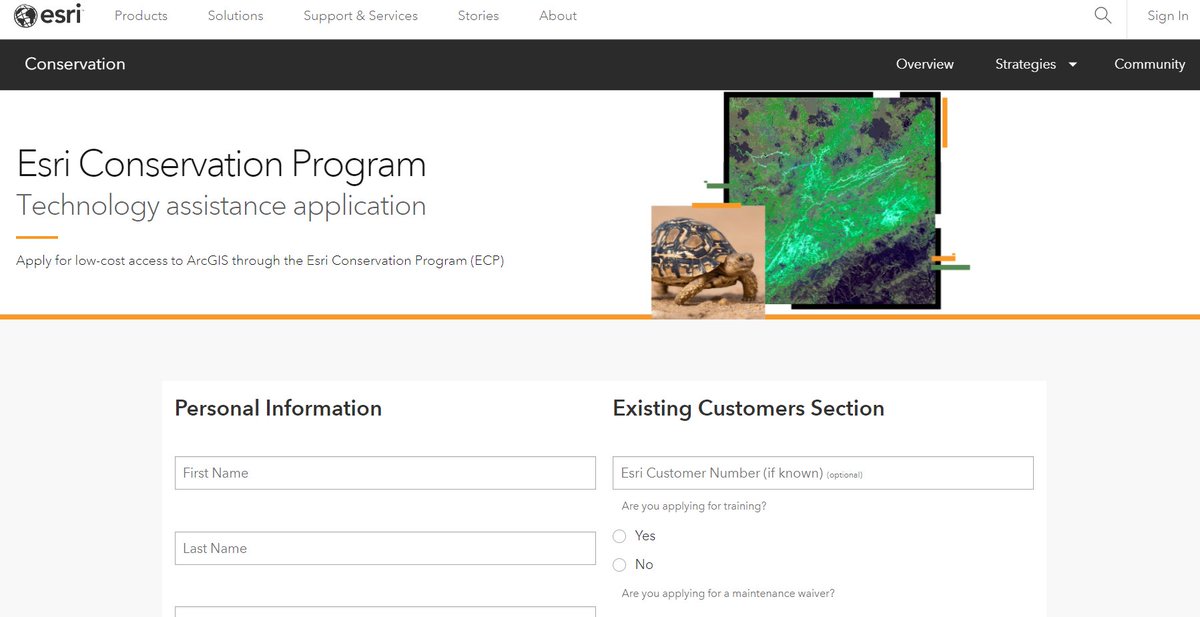
For over three decades, the @Esri Conservation Program has supported #conservation professionals & organizations around the globe with technology grants for #ArcGIS.
Apply for low-cost access today 🗺️ https://t.co/8uXAt27pYB
What an incredible year 2023 has been!
As we look back, 2023 stands out as a year of innovation, expansion, and strengthened connections. Our heartfelt thanks go to our dedicated team, valued clients, and supportive partner organisations.
Did you know you can get 6 weeks of free access to #ArcGIS software? 😮 Our brand-new GIS for Climate Action course opens on October 25. Sign up today → https://t.co/lBpcQgYDR0 #GIS
Friends who advance their #gis knowledge, stick together! 😉
Sign up for the MOOC: GIS for Climate Action (Oct 25-Dec 6)- and gain valuable skills (for FREE) to prepare for a future that requires more resiliency: https://t.co/8vQHPYETmH
@EsriTraining@deepseadawn#climate